A Severe Thunderstorm Watch has been issued for the area until 8pm Sunday. The concern is primarily for damaging wind gusts as the broken line of thunderstorms races through the region.

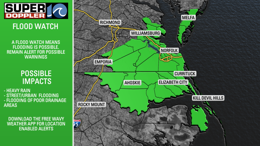
A Flood Watch has been issued for the area from noon Sunday to midnight. This flood watch covers all of NE NC and Eastern VA. The concern is with the recent rainfall, additional rain today over saturated ground could lead to flash flooding as the rain will not be able to soak in. The intensity of the rainfall could also contribute to flooding problems on area roadways and in poor drainage areas.
In the late afternoon/evening – a line of showers and storms is expected to approach. This line could have some gusty winds with it. Our area is under a level 2 severe weather risk today, with the primary concern being damaging winds.

You can see why we have the flood watch looking at this model. Now, there is no guarantee that Hampton or Virginia Beach will see that amount of rain. The model can only show the potential – somewhere – in the area for heavy rain. It could be further west, east or a different town. That’s why the flood watch is in effect for the entire area.

Once we head into the overnight, things should calm down and we should see partly to mostly cloudy skies overnight. A few additional showers or a storm are possible on Monday, then drier weather moves in for a bit.