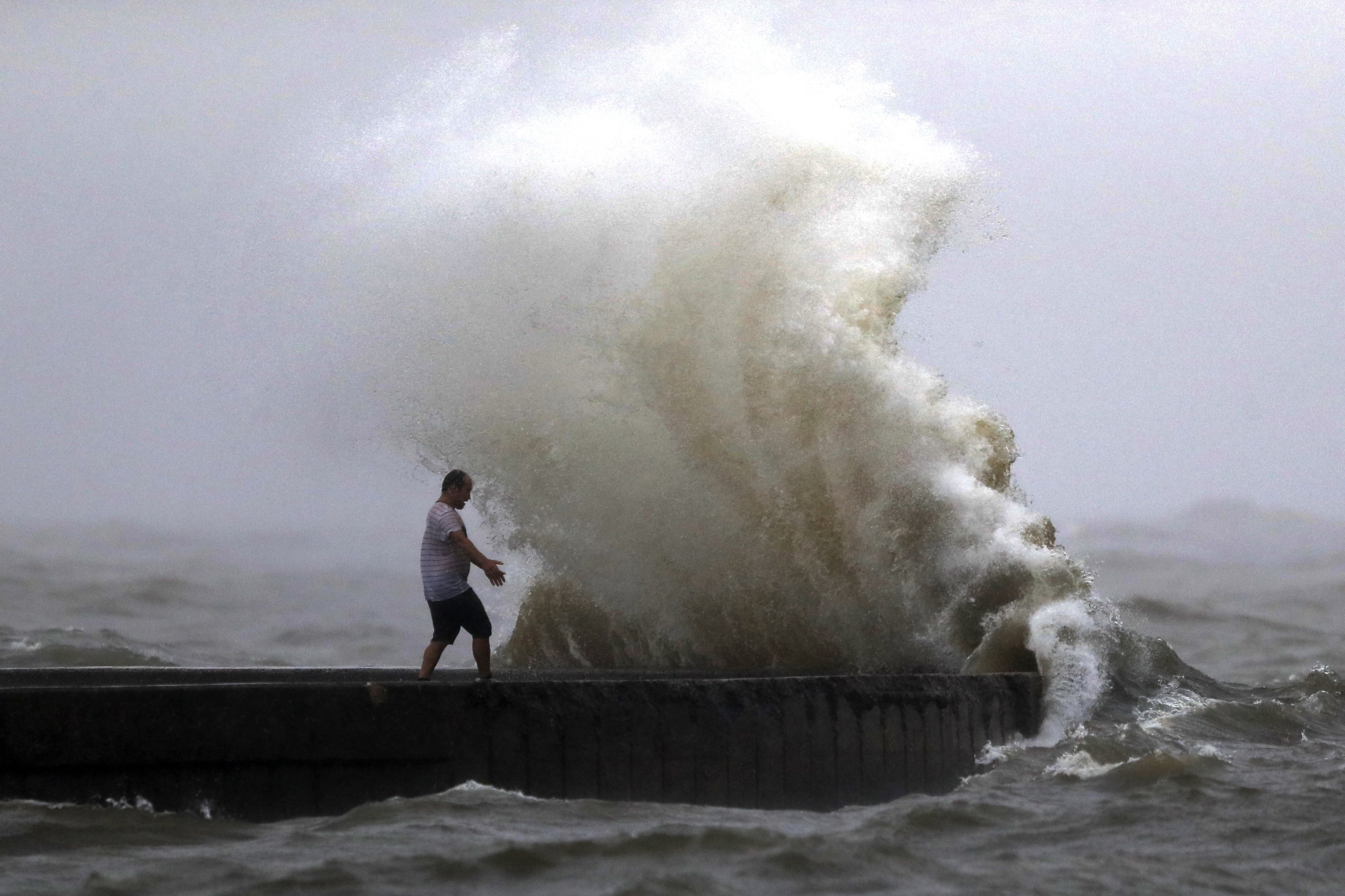
TAMPA, Fla. (WFLA) — The National Hurricane Center continues to monitor the two active systems in the Atlantic: Hurricane Grace and Tropical Storm Henri, which is expected to become a hurricane in the coming days. The remnants of Fred, which made landfall in Florida earlier this week, are also being monitored.
Hurricane Grace

Grace reached hurricane strength Wednesday morning, becoming the second hurricane of the 2021 Atlantic hurricane season after Elsa.
According to the NHC’s 11 a.m. update, Grace is about 65 miles west of Grand Cayman and 350 miles east of Tulum, Mexico with maximum sustained winds of 75 mph – making it a Category 1 hurricane. Forecasters with the NHC says some addition strengthening is expected before Grace reaches Mexico’s Yucatan Peninsula.
The storm is expected to make landfall on the peninsula Thursday morning and weaken as it moves over the Yucatan. Grace is expected to then strengthen when it moves over the southwest Gulf of Mexico on Friday.
The hurricane center says Grace is expected to dump 4 to 8 inches of rain over Jamaica, the Cayman Islands, portions of the Yucatán Peninsula and Vera Cruz state. The heavy rains could lead to flash and urban flooding, with mudslides possible in Jamaica, forecasters warn.
A Hurricane Warning is in effect for:
- Yucatan Peninsula of Mexico from Cancun to Punta Herrero, including Cozumel
A Tropical Storm Warning is in effect for:
- Cayman Islands
- Yucatan Peninsula of Mexico from north of Cancun to Campeche
- Yucatan Peninsula of Mexico from south of Punta Herrero to Puerto Costa Maya
A Tropical Storm Watch is in effect for:
- Southern coast Cuban province of Pinar del Rio, as well as Isla de la Juventud
Tropical Storm Henri

Henri, the eighth named storm of the hurricane season, formed south of Bermuda on Monday and is holding steady in strength over the western Atlantic but expected to become a hurricane in the coming days.
At 11 a.m. ET, Henri was 190 miles southwest of Bermuda and almost 800 miles south-southeast of Nantucket in Massachusetts with maximum sustained winds of 65 mph. Little change in strength is expected in the next couple of days, according to the NHC, but Henri is forecast to become a hurricane by the weekend.
Henri is moving west and expected to continue that motion until Friday when a turn to the north is forecast. According to the NHC, swells from Henri could reach “much of the east coast of the U.S. and Atlantic Canada by the end of the week and continue through the weekend.” They add that there is “some risk of direct impacts from Henri in portions of the northeastern U.S. and Atlantic Canada.” However, forecasters warn that uncertainty in the track forecast is larger than usual.
There are no coastal watches or warnings in effect.
Post-Tropical Cyclone Fred
The NHC is no longer issuing advisories on the remnants of Fred, but the National Weather Service Prediction Center is still monitoring the post-tropical cyclone as it moves northeast from West Virginia, producing heavy rain in Pennsylvania and New York.
Flood and flash flood watches are in effect from West Virginia, Maryland and parts of Virginia, and stretch north across Pennsylvania, upstate New York and parts of Vermont.


