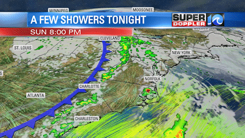
An approaching cold front will throw us a few downpours as we head into the evening/night before a wonderful stretch of weather sets up for the majority of the workweek.
Look for some showers, along with a few rumbles of thunder, to move in from the southwest just past sunset. These are developing in the weekend humidity ahead of the approaching front, which won’t sweep through Hampton Roads until later overnight. By then, a few additional showers will slide through the region.
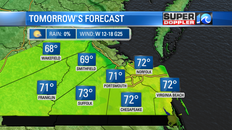
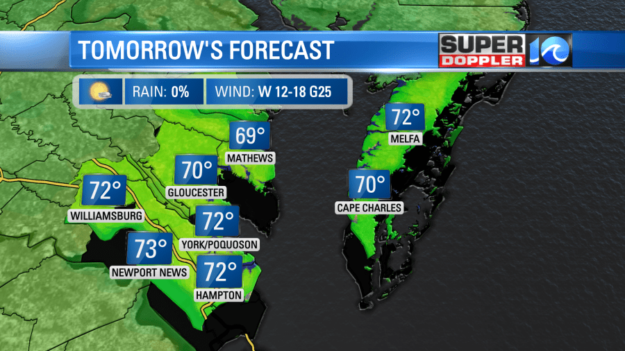
Temperatures hold in the low 60s with the humidity hanging on overnight, but by Monday morning a fresh breeze will kick into gear and drop our dew points to quite comfortable levels. Expect plenty of sunshine and high temperatures reaching the low 70s in most locations.

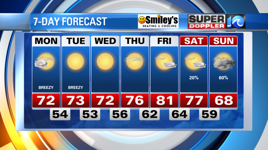
High pressure then moves in from the south to develop a wonderful week of weather. We’ll notice a bit of a breeze both Monday and Tuesday, occasionally gusting to near 30mph out of the west, under the sunshine. But as high pressure settles in Wednesday, the breeze backs off and temperatures start to climb. We’ll likely reach 80° by the end of the week! Some rain chances do return by the weekend (as of now, it looks like Sunday but is subject to change).
Meteorologist Steve Fundaro


