It was rough getting out the door this morning. We had a widespread chilly rain across most of the region.
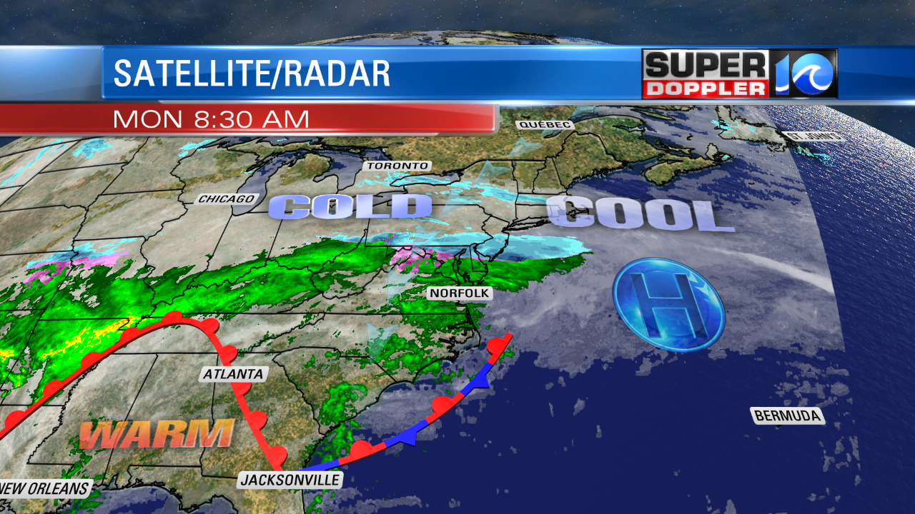
Along with the steady light rain, we had surface temperatures in the mid-upper 30s. It was cold, but it wasn’t cold enough to create any wintry weather other than a couple of sleet pellets mixing in with the rain. We have warmer/more humid air pushing up over a colder airmass. So today’s precip is coming from overrunning.
This will be the case for the bulk of the day. The rain showers may taper off a little this afternoon, but there will still be scattered showers around through the evening. High temps will only be in the low 40s today.
Tonight, we’ll have lots of clouds with scattered showers. There will be some milder air moving in from the southeast. So temps will probably bottom oiut around 40 degrees. Then they will rise overnight. We’ll have scattered rain showers tomorrow, but high temps will be in the 60s. (50s north of Hampton Roads). So at least we’ll warm up. There will be a lot more breaks in the rain for tomorrow.
This will all move out by Wednesday morning. High pressure will slide in. We’ll have highs in the 50s with partly cloudy skies. Then we’ll be partly cloudy with highs in the 60s on Thursday. So the weather looks good for Valentine’s Day. However, rain will move back in by Friday.
While we are enjoying some recent mild weather throughout parts of the Southeast states, they just had a huge wallop of snow up in the Pacific Northwest. Seattle just had one of its biggest snows in decades. They just had more snow in a week than they typically get in a year. Here is the article with more information: Seattle Snow.
Meteorologist: Jeremy Wheeler


