We’ll have some cool/fresh air in the region today. There was some scattered fog this morning, but it burned off by mid morning. A couple of cool fronts are drifting south. High pressure is building in from the north.

We’ll have a nice day with lots of sunshine and high temperatures near 70 degrees. There will be a breeze out of the northeast. the dew points are in the 40s and 50s. So it will be nice and dry.
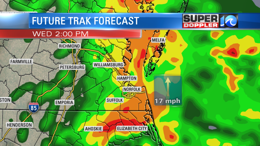
Tomorrow an area of low pressure and a warm front will move north into our region. They will be wrapped in a big slug of moisture. So rain will start to move in by the mid-morning. Then it will become widespread by midday. It will increase during the afternoon.

The rain could be heavy between the late morning and the mid-afternoon. There could also be a few thunderstorms forming. Then the rain will wrap up by the evening.
We could see 0.5″ – 1.5″ of rainfall tomorrow.

This will help the long term forecast. Parts of of are are officially still in a drought.

The next update comes out on Thursday. It will be on the other side of this upcoming rain. So hopefully, the rain puts a big dent in the drought.
After the Wednesday system we’ll have nice weather for a while. It will be cool and dry Thursday and Friday. Then it will be mild and dry over the weekend.
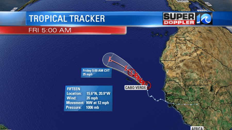
In the tropics there is one system over in the Eastern Atlantic. It is tropical depression 15. It is moving to the northwest. It may briefly strengthen into a tropical storm (Nestor), but overall it should remain weak. It is even forecast to dissipate in a few days.

It will not have an impact on the United States as long as the forecast doesn’t change much.
Meteorologist: Jeremy Wheeler


