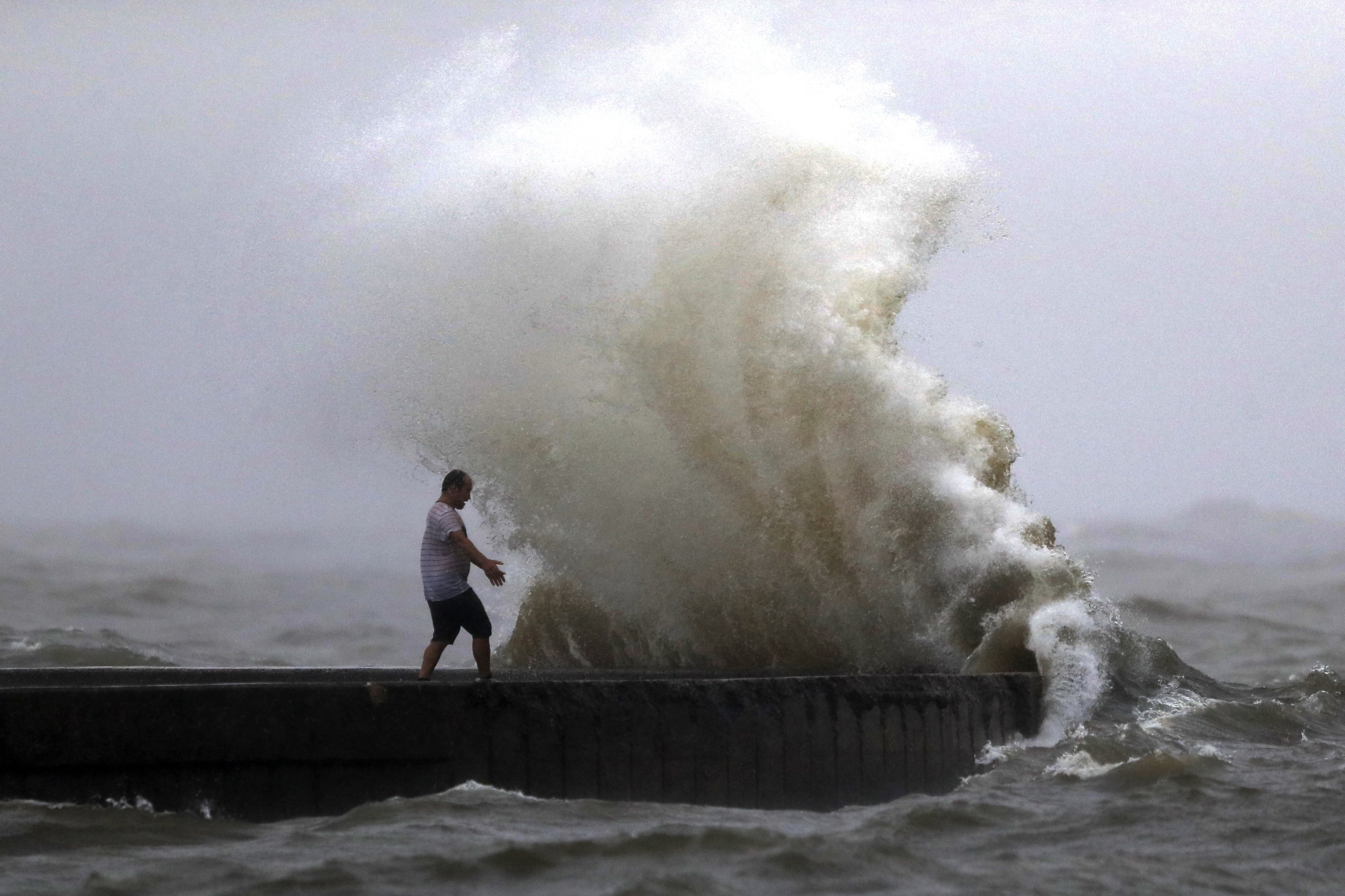
VIRGINIA BEACH, Va. (WAVY) — Every time a storm sweeps into Hampton Roads, Mother Nature reminds those living on the coast how vulnerable we are.
As scientists predict the sea will rise exponentially over the next few decades, cities are working to save themselves.
Flooding poses problems for just about every part of Hampton Roads, but Virginia Beach is uniquely suited to get hit from every angle: the Atlantic pushes in from the east, the Chesapeake Bay from the north, the Elizabeth River from the west and the Currituck Sound from the south.
City leaders say they need to take action, but what course they take depends on public opinion and approval.
Four years into a nearly $4 million study, they have a better idea of how much sea level rise to expect, how the city could fight back, and how much it would cost.
Dewberry, the company commissioned to conduct the study, estimates based on scientific models that Virginia Beach should plan for about a foot and a half of sea level rise by 2050, and three feet by 2080.
“What really surprised us was the emergence of some areas that hadn’t been on our radar screen up to this point,” said Deputy City Manager Tom Leahy.
He points to Ocean Lakes and Pungo Ridge as two areas that will become inundated by flooding much more often if the models hold.
The city was already aware that areas like East Shore Drive, Asheville Park and Sherwood Lakes flood badly. Projects are already underway to combat the problems.
“We’re moving forward now with an aggressive program to repair and rehabilitate the stormwater systems throughout the city right now,” Leahy said.
What happens next, however, is up to the public. The study is filled with options, ranging from doing nothing to constructing levees and other flood mitigation structures.
“We have to take this to the citizens, see what the citizens are willing to fund, because these projects will go into the billions of dollars,” Leahy said. “The levee systems are going to be the most controversial, the most expensive, and the most environmentally challenging.”
If taxpayers and state and federal governments do not support infrastructure projects, the study found the city will suffer.
“The annual cost of doing nothing is $271 million per year,” Leahy said. “It seems unlikely that the city would not address these issues in some fashion.”
That fashion may be less dramatic than building levees. It could come down to not building at all – at least, not in places prone to flooding.
“Building in the wrong place has been going on since the 1950s,” Leahy said. “And it’s still going on a little bit today.”
The city could lobby for backup from the state, in the form of tough laws for developers. That way, the study explains, local officials have more power to prevent developments in low-lying, flood-prone areas or to force developers to contribute to more robust stormwater and flood mitigation systems.
As for the properties already standing in problematic areas, stormwater improvements may help save some. Others may have to go.
“We acquire properties and take them out of development, because they either shouldn’t be built on or had been built on and need to be removed,” Leahy said.
Whatever does happen will take years to get from the idea to budgeting, designing, permitting and building, but Leahy said it’s crucial to act now.
“The most important thing is to start and to never stop,” he said. “I think if we make a solid case, [the public] will back us up.”
The city hopes to have the study completely wrapped up by the end of the year. Within the next six months, taxpayers can expect to see more specific options and costs for engineering solutions, such as levees.
View the planning study here: https://www.vbgov.com/government/departments/public-works/comp-sea-level-rise/Documents/slr-rf-plan-study-policy-strat-council-brief-1-15-19.pdf
Read the policy adaptation report here: https://www.vbgov.com/government/departments/public-works/comp-sea-level-rise/Documents/slr-policy-adapt-draft-rpt-1-14-19.pdf

