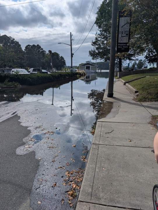
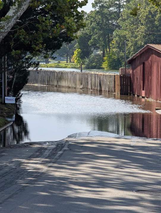
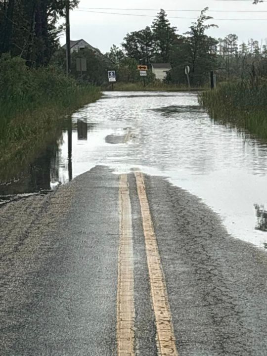
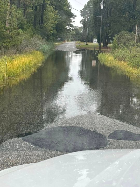
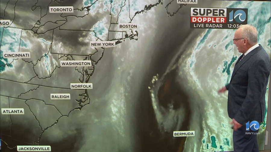
PORTSMOUTH, Va. (WAVY) — Higher-than-normal tidal flooding due to an offshore storm is continuing to cause impacts around the Tidewater region.
There’s a coastal flood warning through Monday evening for most of the WAVY viewing area per the National Weather Service, with flooding still expected on Tuesday. The warning extends through late Tuesday further up the bay, including for the Middle Peninsula and Northern Neck.
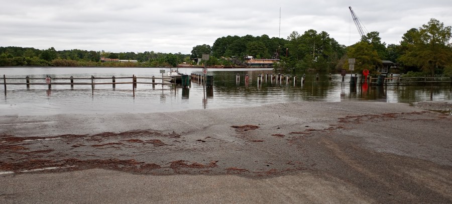
Here’s a look at the Great Bridge Lock Park in Chesapeake on Monday morning.
Accomack County Public Schools started school two hours late on Monday due to the tidal flooding on the Bayside. Photos showed Onancock’s wharf area fully underwater during high tide early Monday morning and afternoon, with the water coming up Market Street.
Gloucester County Public Schools meanwhile said they were monitoring potential flooding in the Guinea and Allmondsville areas, with high tide expected around 2:20 p.m.
“Our road assessment team will be monitoring conditions at high tide, and we will contact affected families if any transportation changes are necessary. Families in the affected areas will have the option to pick up their students early if you prefer to avoid potential flooding. Any early pick-ups will be treated as excused absences. Please contact your school office if you plan to pick up your child.”
The tidal flooding was also bad Sunday afternoon, with WAVY viewers from Mathews and Poquoson sending in reports.
WAVY viewer Lynette Glockner shared videos of her dog, ironically named River, enjoying the high tide in Mathews.
The flooding is considered “moderate” in the areas experiencing higher flooding levels, per WAVY Meteorologist Don Slater, with Sewell’s Point in Norfolk in the “minor” levels at 5.1-feet expected around 2 p.m. Monday.
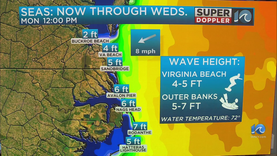
The offshore storm is also causing higher-than-normal surf, with waves around 5-7 feet down in the Outer Banks. Don says it’s like a washing machine.
Here are the latest weather alerts for our region.

