NORFOLK, Va. (WAVY) – Do you ever wish your GPS could tell you where there’s flooding and which roads to avoid? Well, there’s now an app for that.
It’s thanks to a partnership between the local nonprofit RISE, the GPS app Waze, the City of Norfolk and the company FloodMapp.
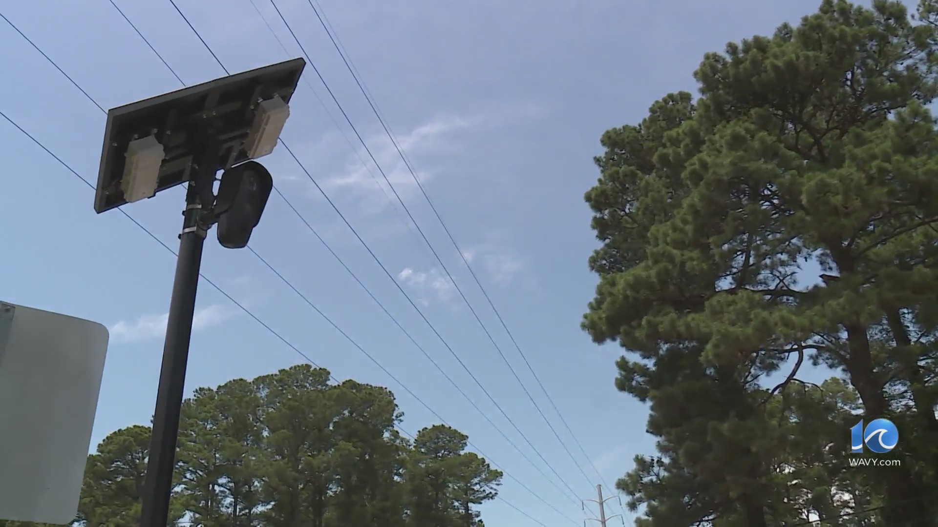
Through RISE’s Urban Mobility Resilience Challenge, RISE gave FloodMapp a grant to work on this technology. It uses a number of sensors and inputs to create a real-time flood model. That information is combined with information from the City of Norfolk and sent to drivers via the app Waze.
On Monday, if drivers used Waze while out and about, they would’ve gotten alerts about standing water and road closures.
Kyle Spencer, deputy resilience officer for the City of Norfolk, said in a news release, “FloodMapp’s technology provides affordable, citywide situational awareness that current solutions, such as sensor networks alone, don’t offer.”
RISE leaders say they planned to roll the app out next week, but knowing today’s forecast, decided to bump up the ‘soft launch’ date.
Their goal is to help drivers stay safe when road conditions are rough.
“It gives awareness of the areas that are flooding, roadway segments that you shouldn’t drive into,” said RISE Executive Director Paul Robinson. “It’s over certain levels, six inches. These systems can’t warn if you’ve got a 1/2 inch or an inch of water on the road, but that doesn’t really matter. It starts to matter when you’ve got six inches or so.”
This is currently only in the city of Norfolk.
“As our streets flood more often due to climate change, we need to find a sustainable way to alert community members about the risks they face,” said Spencer in a statement.
The folks at RISE believe they’re the only ones working on this technology. Robinson says there’s a lot more to come, both in the capabilities and where they plan to expand the use of this technology.
For those who are using it right now, they ask them to be patient and let them know where they can improve.
“We are really excited to work with RISE and the City of Norfolk to roll out our product, and to help drivers navigate flood-affected areas,” FloodMapp CEO and co-founder Juliette Murphy said in a news release. “We started FloodMapp because we have seen firsthand the devastation flooding causes and we wanted to be part of a solution that helps people around the world.
To download the Waze app, CLICK HERE.
Download the WAVY News App to keep up with the latest news, weather and sports from WAVY-TV 10. Available in both the Apple and Google Play stores.
