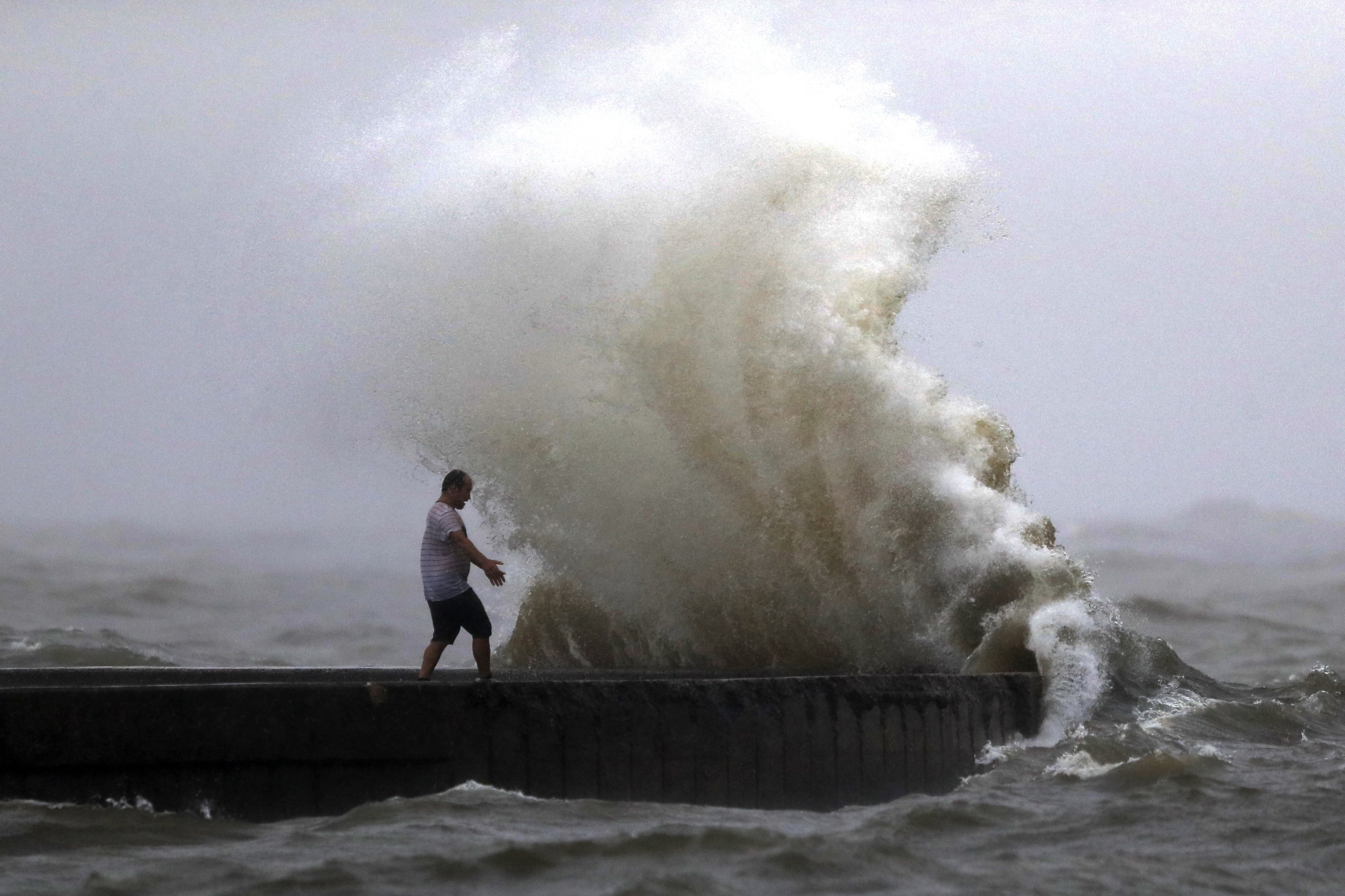
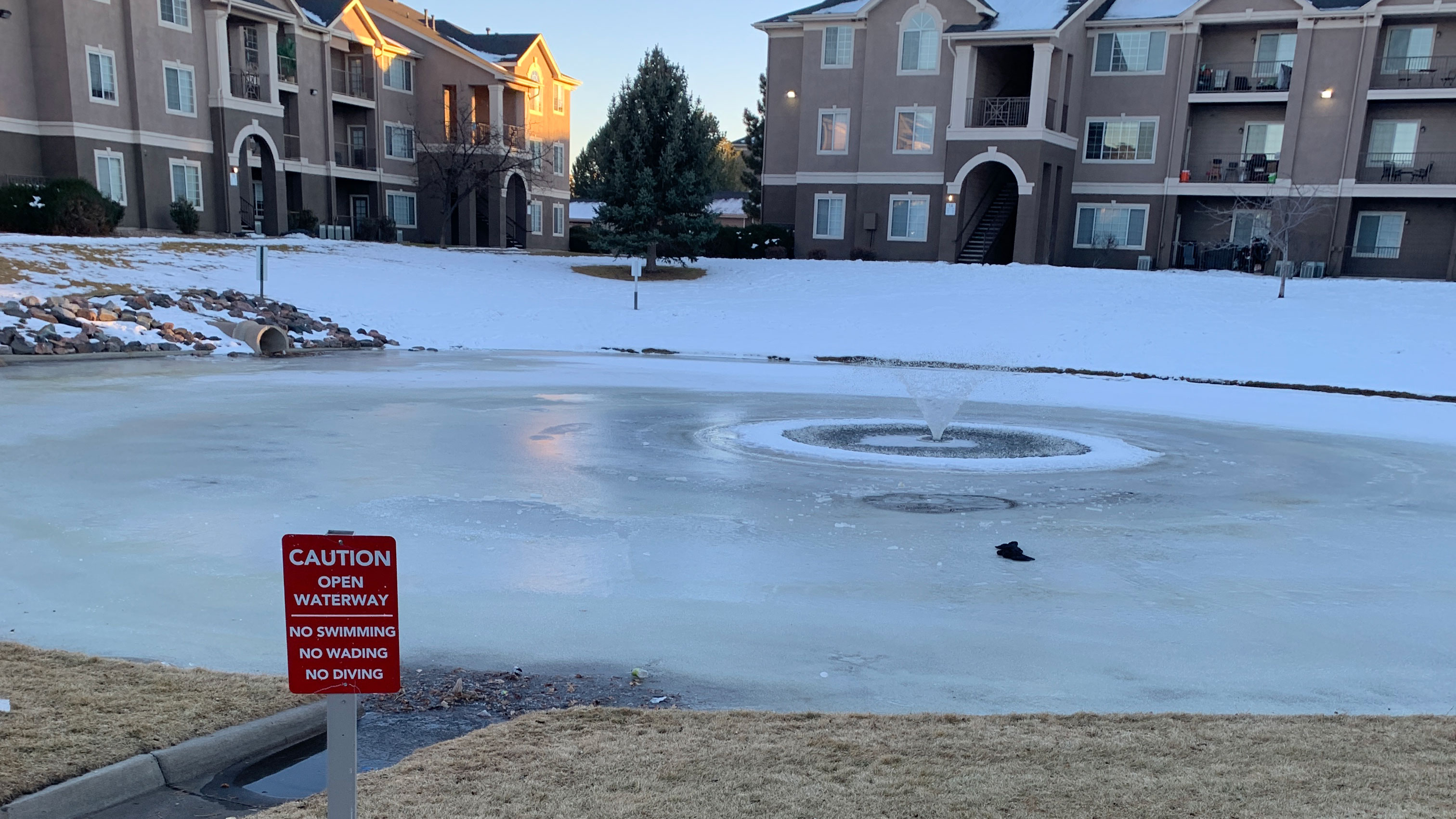
PORTSMOUTH, Va. (WAVY) — While our weather locally this week will feature drier days and summer sunshine, the flooding rains in the northeast and Tennessee over the weekend can be connected to our changing climate.
With more heat in our atmosphere, the changing climate will (and has) led to changes in general weather patterns. It starts with the jet stream — a warmer climate loosens the jet stream, creating a more wavy and awkward flow of weather from west to east. Oftentimes, this creates big bulges and dips in the jet stream which leads to blocking patterns.
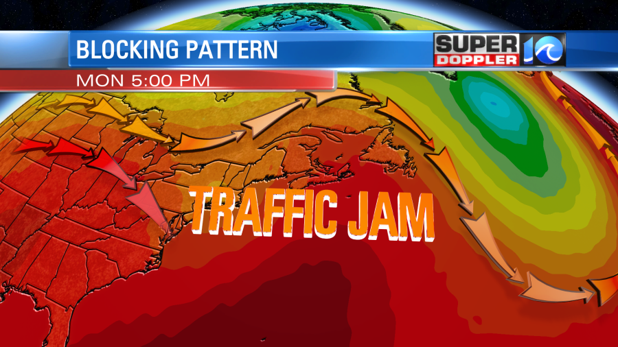
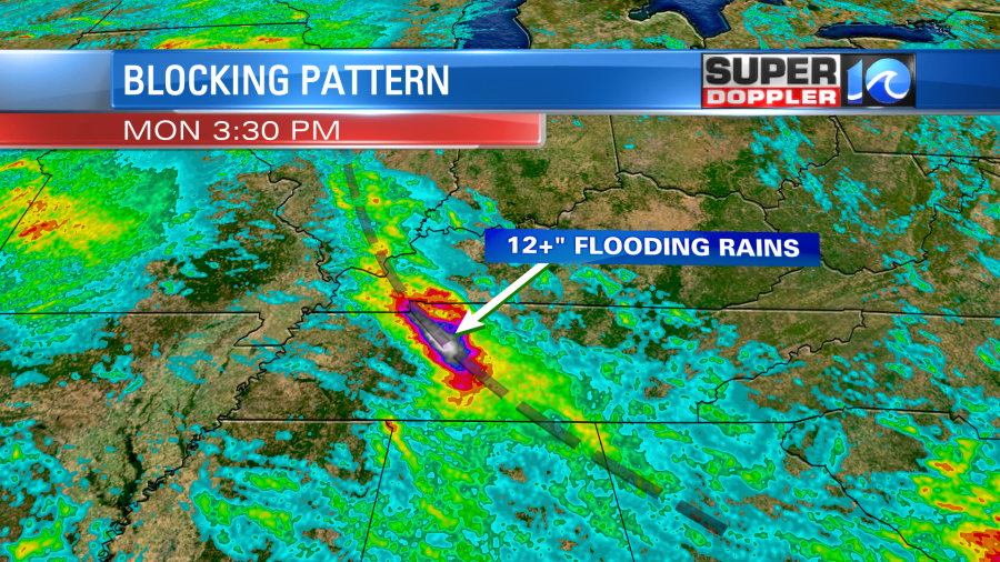
A blocking pattern, which isn’t totally rare, just maybe more common now, blocks and jams the flow of weather from west to east. This was the case with the weather across the eastern United States this weekend.
After Henri made landfall Saturday afternoon in Rhode Island, the system really didn’t have anywhere to go. Its exit routes out of the New England area were jammed by the blocking pattern set up. Therefore, Henri took an awkward path, stalling over parts of New York and Connecticut before making a total U-turn. Rain should continue into the night before the system moves offshore on Tuesday.
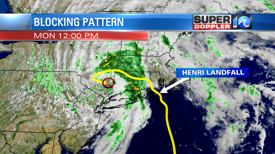
On the other side of this traffic jam was a front stationed over Tennessee, and since this had nowhere to go either, catastrophic flooding occurred Saturday in parts of Middle Tennessee. Over 12 inches of rain was dumped in a few hours, with isolated locations receiving upwards of 17 inches of rain.
More heat in the atmosphere translates to more energy in the atmosphere.
Meteorologist Steve Fundaro

