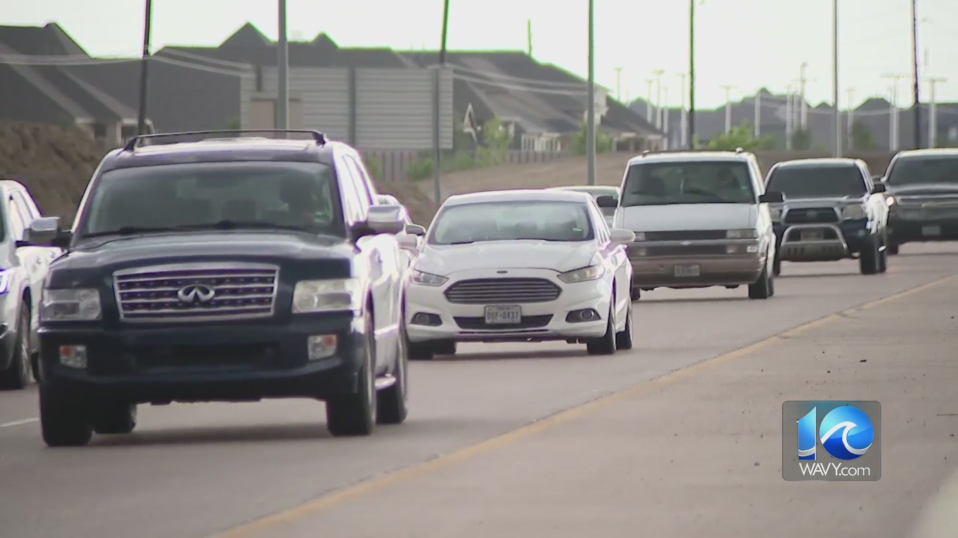
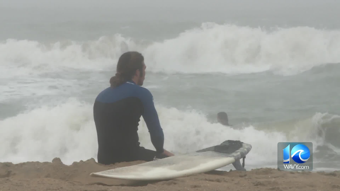
HAMPTON ROADS, Va. (WAVY) – You saw it Monday morning as water pooled up on our roadways.
“There is less storage on land and therefore, that water backs up more,” Dr. George McLeod, the Director of Old Dominion University’s Center for Geospatial Science, Education and Analytics, said.
With rising sea levels expected to increase, an interactive map created by Climate Central shows you what the future may hold for our coastal community.
“Flood maps and models, while imperfect, are necessary for planners, engineers and citizens make their next move,” Dr. McLeod said.
This scenario shows projections with sea level rise and typical annual flood.
In 2050, this is with unchecked pollution and the bar at medium luck which reflects the middle range of possibilities.
You can see Dam Neck Naval Base covered in water.
There is some good news, Dr. McLeod says “There is a lot of lands that is high and dry and show our community is sustainable.”
It may look daunting, but he said the model allows us to break down the problem and put things in place to reinforce the area.
Dr. McLeod said it’ll take a variety of solutions, like cutting our carbon footprint.
He said that you should think of ways to protect your property like raising your home off the ground.
Dr. McLeod said engineering mitigation like building levees, seawalls and flood gates to protect communities.
He said another key is changing state, local and even federal policies that can lay out how to live smarter in the flood plain.