Yesterday was nice and dry. After a chilly start it became a good late-Fall day. We had fair skies with high temps in the 50s. We’ll have a warmer week ahead, but there will also be some rain showers at times. Let’s take a look:
Today high pressure is moving away from the region to the northeast. A warm front has crept up along the coast and is almost stalled out. There is a cold front off to our west moving steadily to the east.
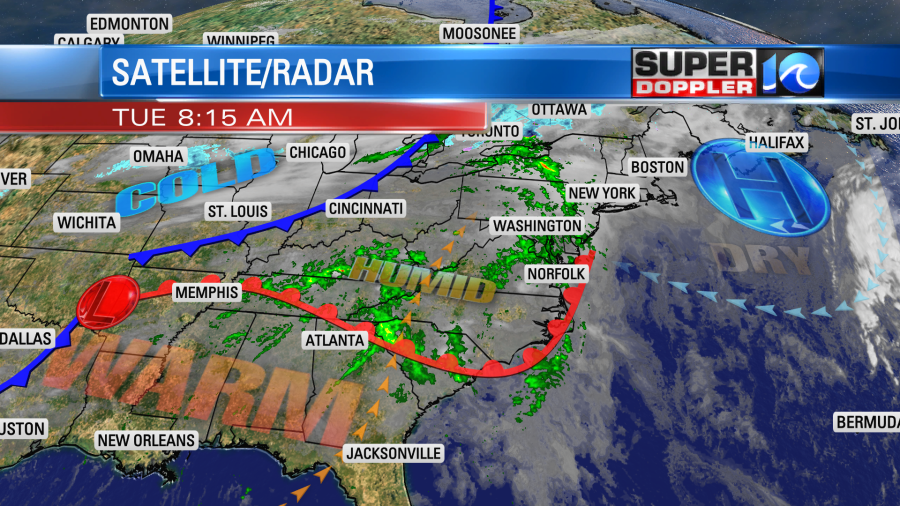
We had some scattered rain showers over the area this morning. Luckily they were light and spotty for most of the AM commute.
Through the day we’ll have scattered rain showers at times, but it will be far from a washout. There will be a lot of breaks in-between. The chance may drop off a little during the early afternoon, but our Future Trak model has the rain increasing again between the late afternoon into the evening.

We’ll have a light south wind along with the warm front pushing north. So high temps will rise to the mid 60s this afternoon with a few mid-upper 60s to the southeast of the metro.

Tomorrow the warm front will be to our north. So we’ll warm up even more. High temps will rise to the upper 60s. However, rain showers will pick up again as we go into the afternoon.

A cool front will move through around Wednesday evening, and it is forecast to drop to our south on Thursday. So we’ll be a little cooler and drier that day. High temps will be in the upper 50s to low 60s. We’ll have a mix of sun and clouds. I can’t rule out a stray shower or two, but the chance for rain is very low. An area of low pressure will move east along the stalled out front on Friday. So we’ll have more clouds, more scattered showers, and more mild temps. Highs will be in the low 60s.
We’ll be cooler and mostly drier by next weekend. Highs will be in the 50s. There may be some isolated showers.
One last thing….I’ve said it since November 30th…. You can have a tropical system form outside of hurricane season. Ergo, at the moment there is a tropical disturbance in the middle of the Atlantic that has a medium chance of formation.
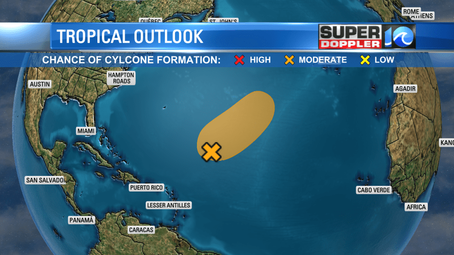
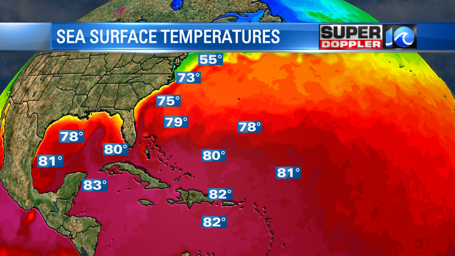
This feature is over some warm water, but it is slowly moving towards some cooler Atlantic waters.
It could become a subtropical system or possibly even tropical if it lingers, and doesn’t move much. We’ll see. Either way it should have a low impact on us. It will probably just increase the waves over the next few says. We’ll bring you updates.
Meteorologist: Jeremy Wheeler


