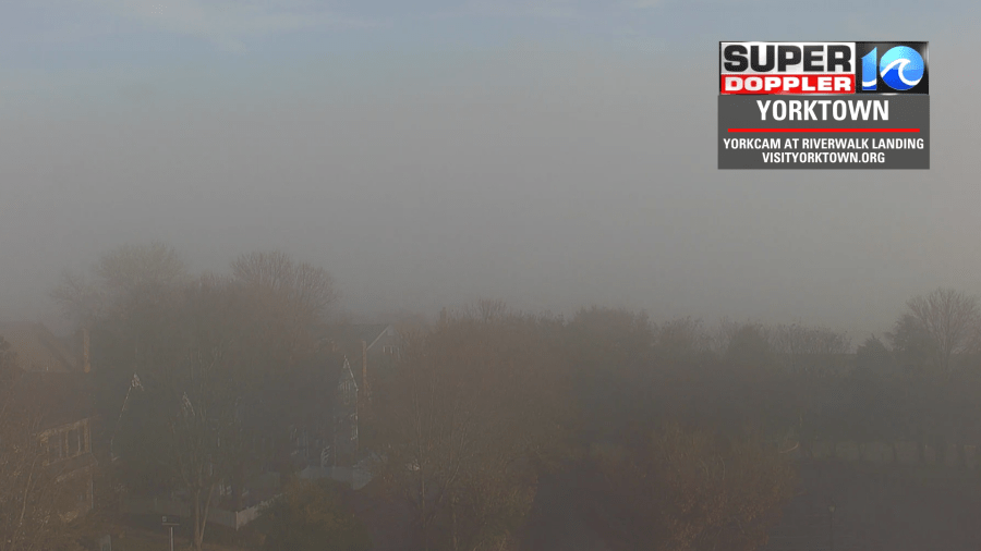
This morning there were some spots where we had some patchy fog in the area. The thing is… Temps were in the 20s and 30s at the time. So this created the potential for some isolated freezing fog. I didn’t see any reports of it, but we were watching the Coleman Bridge closely.
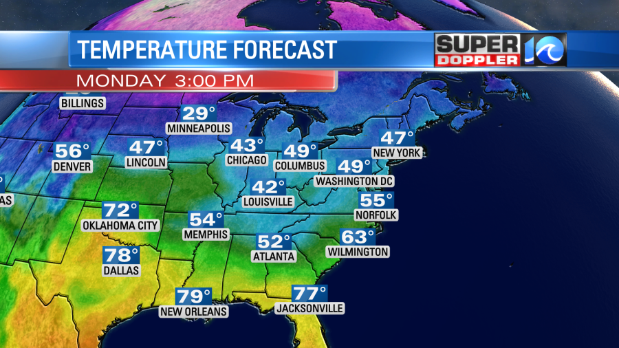
Today we are going to warm up a little bit compared to yesterday. We’ll have fair skies and a light east wind. So high temps will rise to the mid 50s this afternoon.
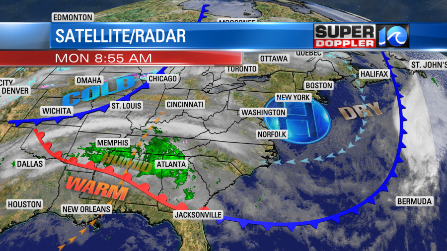
We have high pressure overhead. There is a warm front far to our south. There is a cold front well off to our west.
Moisture will build into the region tonight. So clouds will thicken up. We’ll have some spotty rain showers after midnight into tomorrow morning. Then there will be some scattered rain showers through the day Tuesday, but it won’t be a washout. I’d say there is a 30-40% chance of rain at any time of the day. Here is our Future Trak model forecasting Tuesday afternoon.

We’ll have a light south wind tomorrow. That will help to pull up even more moisture, and it will boost the high temperatures a bit. We’ll aim for the low 60s by Wednesday afternoon. There will be a warm front sliding up from the southwest by tomorrow evening. This may create a bigger area of showers tomorrow night.

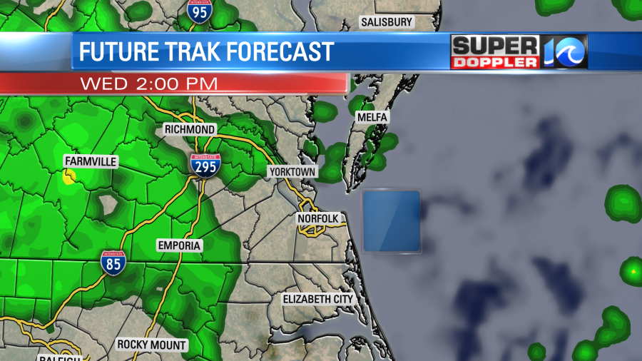
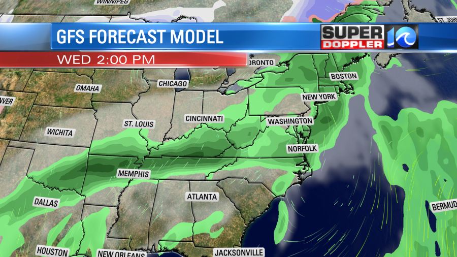
Then the models disagree on the rain for Wednesday. Some models have more scattered rain showers through the day, but some other models have the rain basically moving out after 5am. I think that the warm front will move to our north through Wednesday. Perhaps it the location of the front that is causing the difference. Here is what our Future trak model shows.
Despite the clouds and the showers we’ll warm up to the mid-upper 60s. We’ll stay mild and wet Thursday and probably Friday. Highs will be in the 60s. We may cool down a little more on Friday depending on the timing of a cold front. Stay tuned for updates.
Meteorologist: Jeremy Wheeler