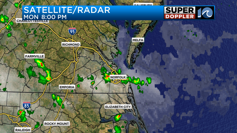
Last night there were some heavy downpours in the area. There was a clap of thunder by my house that was the loudest that I’ve heard in years. (It was close by).
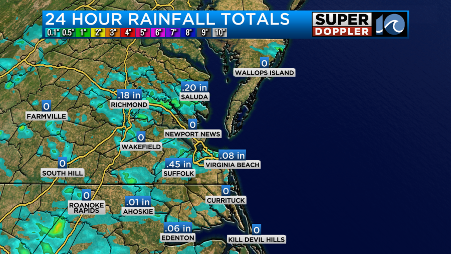
Suffolk picked up a little over 4 tenths of an inch. Norfolk had about 0.27″ of rainfall.
All of that rain moved out late last night. So this morning we started off with lots of sunshine.

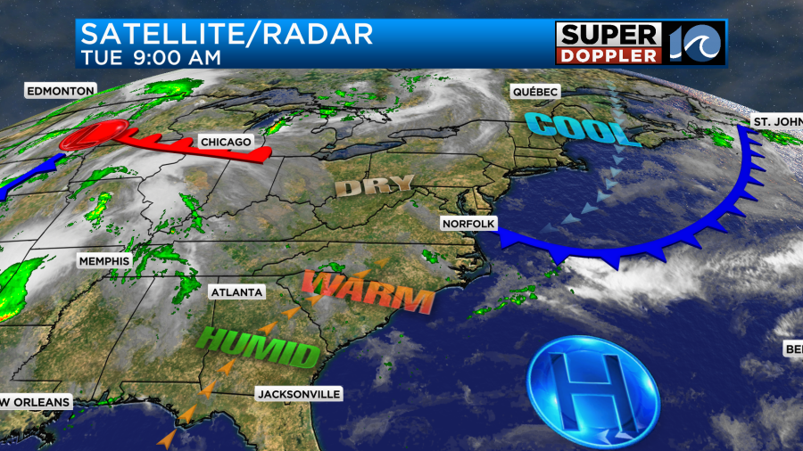
Today we will have some similarities to yesterday, but there are some small differences. A back door cool front is dropping in from the northeast. However, we are on the edge of that boundary. Plus, it will stall out soon.
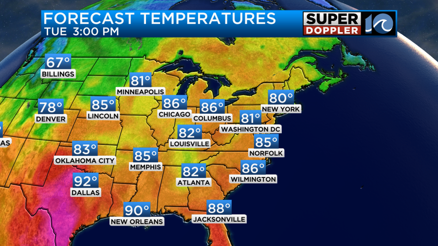
Temperatures may cool down a degree or two from yesterday, but basically they will be about the same. Winds will be light and out of the east/northeast. So high temps will be in the mid 80s with a few low 80s near the shore. We’ll hit some upper 80s inland.
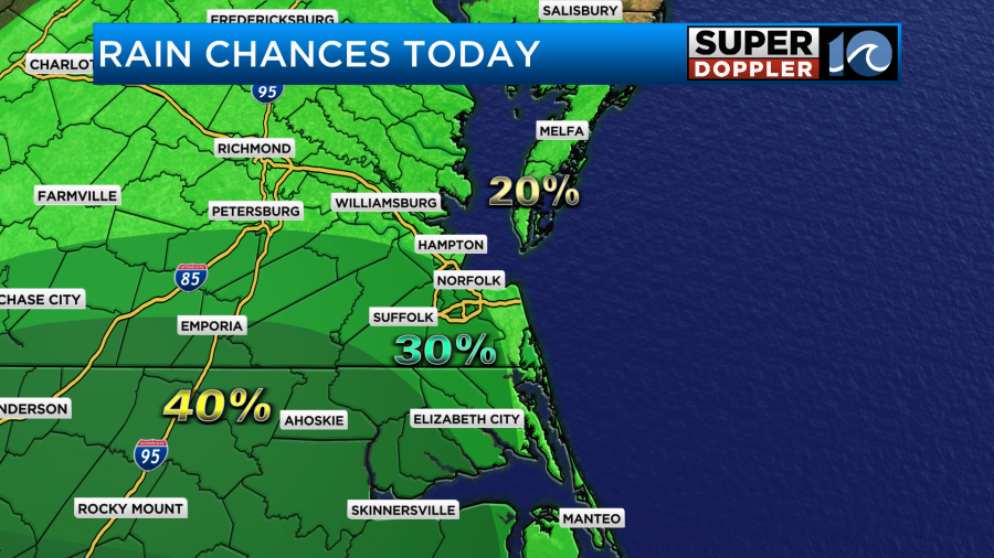
The humidity may drop a smidge, but I doubt it will be enough to notice. With the easterly wind we should have some slightly more stable air near the shore. However, inland locations will still have some decent instability. Therefore, we have a few showers and storms expected later today.
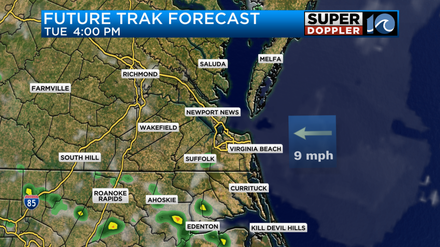
There will be a better chance for them inland and south with a lower chance near the shore and on the Eastern Shore.
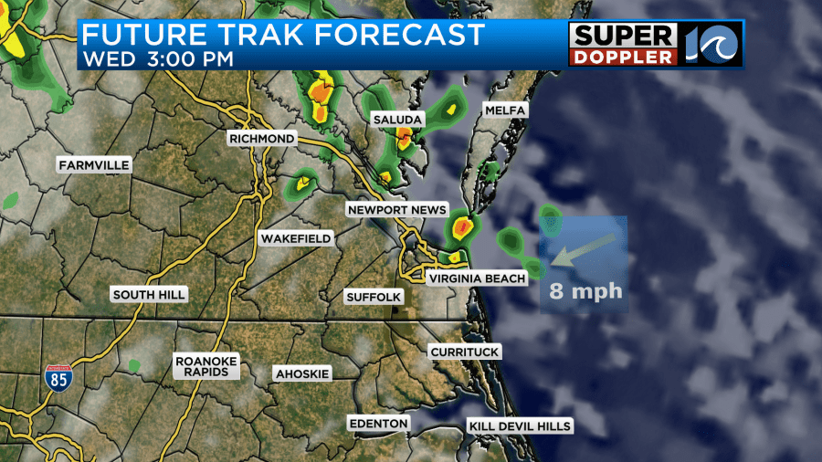
No matter how far the front drops to the south it will definitely move back north as a warm front tomorrow. We’ll have a light southeast wind develop through the day. We’ll also have a mix of sun and clouds. So high temps will aim for the upper 80s.
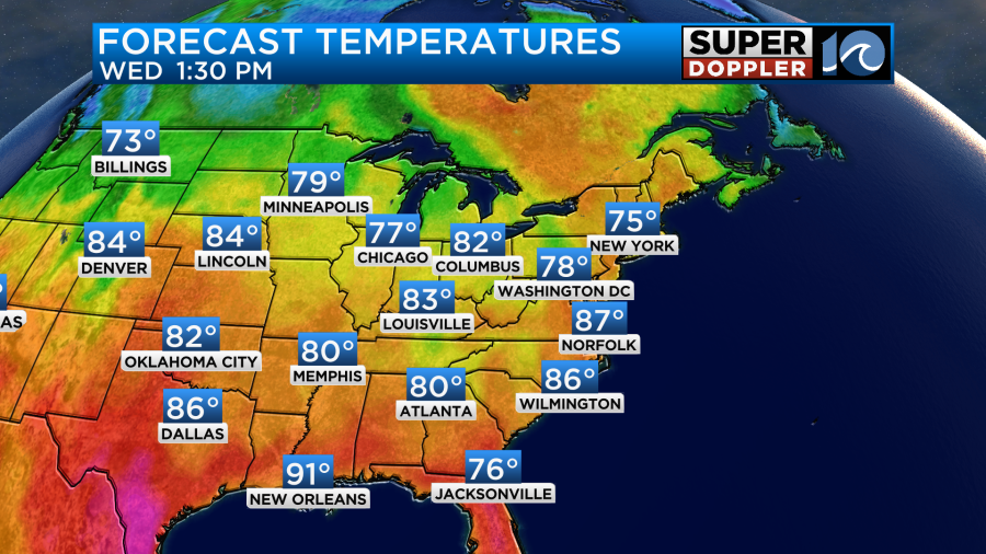
It will probably feel like 90 degrees or the low 90s with the heat index. There will be a little higher chance for scattered thunderstorms. This will be mainly in the afternoon.
We’ll have more heat, humidity, and scattered storms on Thursday. High temps will be in the upper 80s to near 90 degrees. This will be ahead of a cold front that will enter the area Thursday night. So on Friday the humidity will drop nicely. We’ll have partly sunny skies through the day as the front sinks south. High temps will probably still be able to manage the mid 80s, but the lower humidity should make it feel nice.
Over the weekend we’ll have high temps in the low 80s with partly cloudy skies. It should be very nice with dew points falling to the 50s and 40s.
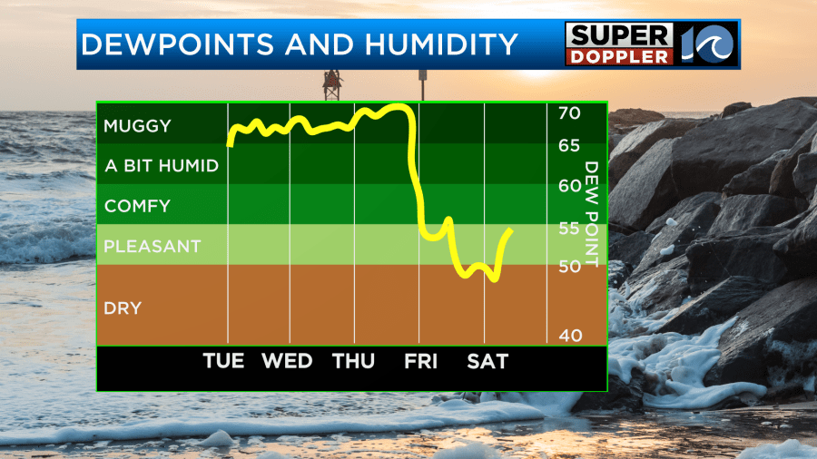
This could make it feel pretty close to last weekend’s nice weather. We’ll see. I don’t think it will be as cool in the mornings.
The tropics are quiet right now. Luckily, we haven’t had any systems form in the Atlantic.
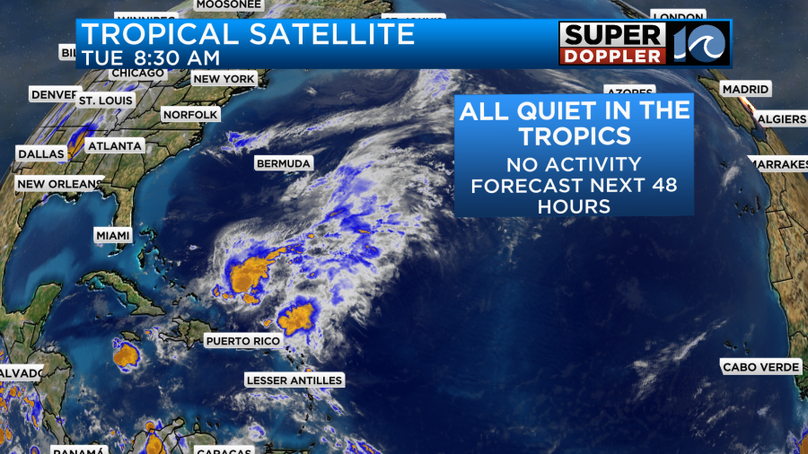
That’s not to say that there’s no fuel for storms. There is some very warm water, for this time of year, down over the Caribbean and parts of the Gulf and Atlantic.

However, in the short term there is also a Saharan Air Layer coming off of Africa that has a good amount of dust with it. That is acting to limit activity. At least for a little while.
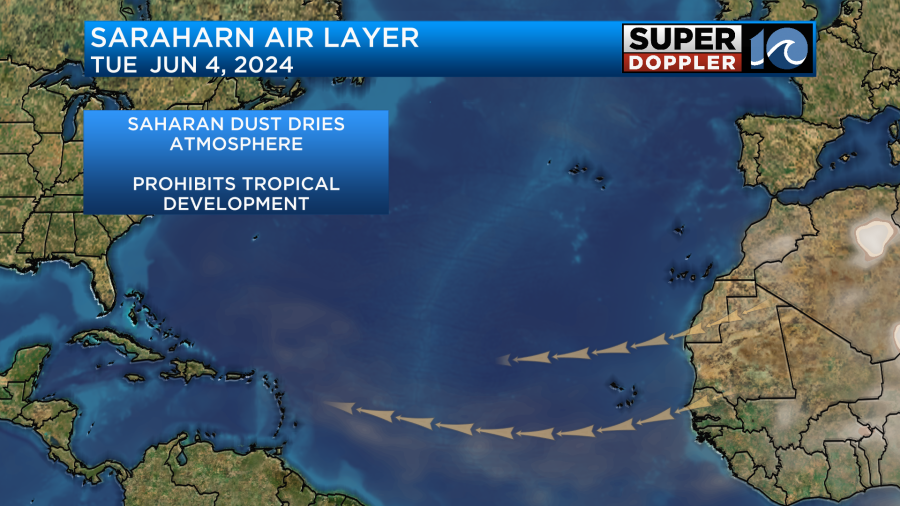
Some of that dust is reaching all the way to Puerto Rico. I’m not expecting any systems over the next few days, but we’ll see how long the quiet conditions last.
Meteorologist: Jeremy Wheeler


