Yesterday, our local groundhog “Chesapeake Chuck” (from the Virginia Living Museum) gave his predictions for the Super Bowl and also for the rest of the winter season.
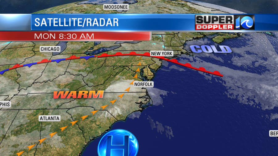
He called the game right, and it looks like he called the short-term forecast right as well. (We’ll see about the long term). Temps started mild this morning. They were in the upper 40s to low 50s. We’ll have a big warmup this afternoon. High temps will aim for the lower 70s. This is well above the average high of 49, but it is short of the standing record which is 81 degrees (1989). There is a warm front that is stalling out to our north, and there is an area of high pressure to the south.

We’ll have a southwest breeze through the day. Skies will be mostly to partly sunny. We’ll stay mild tonight with lows only dropping down to the mid 50s. Then tomorrow we’ll be in for another warm day. However, tomorrow we’ll have more clouds in the region. There may even be a stray shower inland, but the chance for rain for our region is very low. We’ll have a continuing southwest wind. So high temps will be back in the low 70s. By Wednesday a cold front will drop into the region. It will bring us some scattered rain showers and lots of clouds. High temps will dip into the mid 60s. The front will already move back north as a warm front by Thursday. We’ll have lots of clouds and there will be a wide area of rain moving in as well. However, the winds will strengthen out of the southwest. For now I’ve got the high temperature back around 70, but we’ll see. There will be a cold front pushing through by Thursday night. This could prompt some thunderstorms in the region.

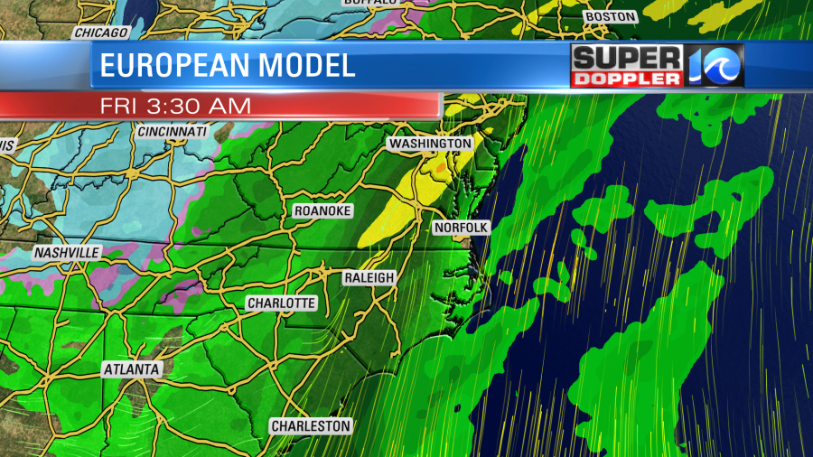
Some of the showers could linger into Friday morning. We’ll be cooler on Friday with highs closer to 60s. Then temps will be closer to average by next weekend. Some of the details for later this week could change. So stay tuned for updates.
Meteorologist: Jeremy Wheeler


