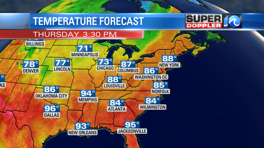
We are entering that time of year when cold fronts move into our region and die out. For a time you could call our region the cold front grave yard. The problem is that stalled out fronts make for a tough forecast in mid-Summer. This is because a small change in the placement of those fronts can dramatically change the forecast. Even a small wiggle can change a neighborhood forecast.
Today we have one of those fronts sitting over our region. There is also a small area of low pressure nearby.

There is a cool front over the Midwest that will play a part in our forecast this weekend. For now…that stationary front will create a good amount of clouds in the region today. We’ll be mostly cloudy for a while with a few peeks of sun. There will be some scattered showers and a few storms this afternoon, but they won’t be widespread. Winds will be light and out of the southeast. High temps won’t heat up too much. In fact we’ll be a few degrees below average. Temps will aim for the mid 80s this afternoon.

This is a few degrees below average. It will feel like 90 with the heat index, but that’s not bad for early July.
Tomorrow the front and low should pretty much fall apart and move a bit more east. So we’ll be partly cloudy. There will be some isolated showers and/or storms with a little higher chance for rain inland/west. High temps will be in the upper 80s. There may be a few 90s inland.
We’ll have typical Summer weather on Saturday. We’ll be partly cloudy with a few pm showers and storms. Highs will be in the 80s. However, the forecast looks wetter for Sunday. The cool front (currently in the Midwest) will move down here and is forecast to stall out. This could create a big area of rain if the models are trending correctly. Again…keep in mind what I wrote at the beginning of this blog. Stay tuned for updates on the weekend.
So apparently July 3rd, 4th, and 5th were the warmest days that Earth has ever had ((on record)). Remember…satellite data only goes back to the 70s. That is according to NOAA data. The previous record was back in August 2016. This is amid multiple recent heat waves over land and the water recently. Also, the Pacific is in an El Nino pattern which is a warming of the water over the central Pacific Ocean, and that tends to spread east. We just wrapped up the warmest June on record across the Globe. The previous warmest June was in 2019. We still have a lot of Summer to go. So we are likely going to have more record heat before it ends. It’s very ironic that we just finished a cooler than average June here in Hampton Roads. We only hit 90 degrees for the first time last weekend. This was the 2nd latest (first 90 degree reading) on record. The weather patterns have definitely been out of whack, and I bet we will have some bigger heat moving in over the next few weeks. We’ll see.
Meteorologist: Jeremy Wheeler


