Today we started off with a nice weather treat…The sun!
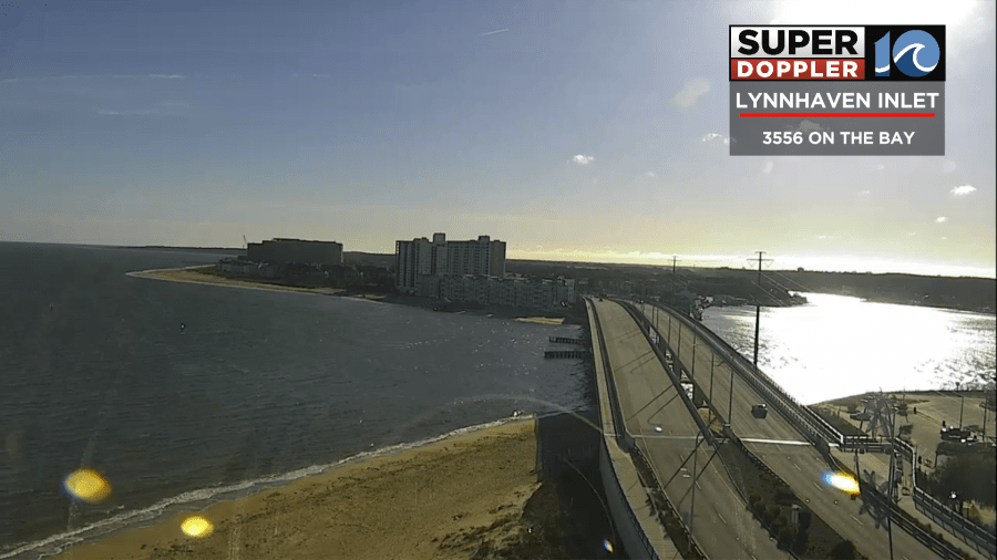
Seems like sunshine has been a hot commodity lately. So it was surreal to see it out in full force this morning. Today we have high pressure over the area. There are a couple of fronts and an area of low pressure off to our west.
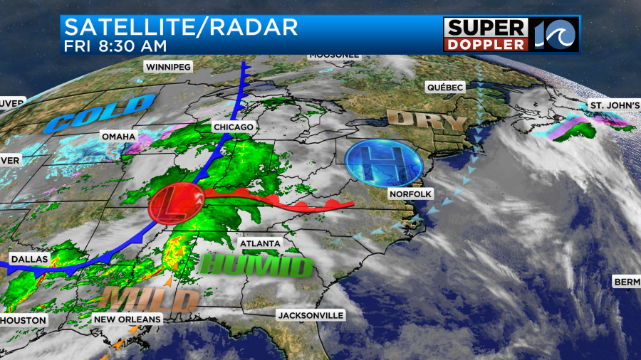
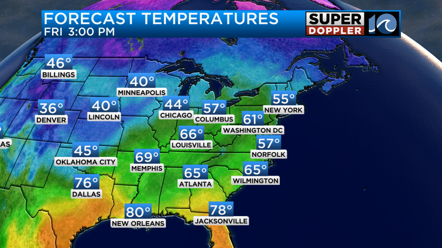
We’ll have a cool/dry east/northeast breeze through the day. It shouldn’t be too strong, but it will keep us a bit cool in some places. We’ll be mostly to partly sunny all day. High temps will be in the mid-upper 50s, but there will be some 60s inland and south.
It should be good weather for outdoor activities, but keep in mind that the ground is still very wet. At least the water will recede some today. By tonight the wind will turn out of the southeast. Moisture will start to increase at all levels. We’ll have some overrunning moisture tomorrow morning. So there will be some spotty showers and sprinkles already by 5-8am.
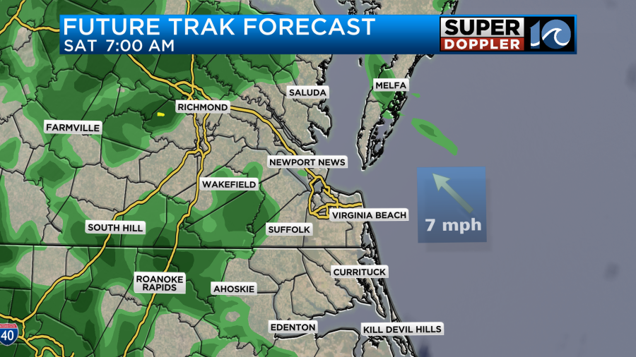
The rain showers will increase through the day as the moisture increases and the low gets closer to our region.
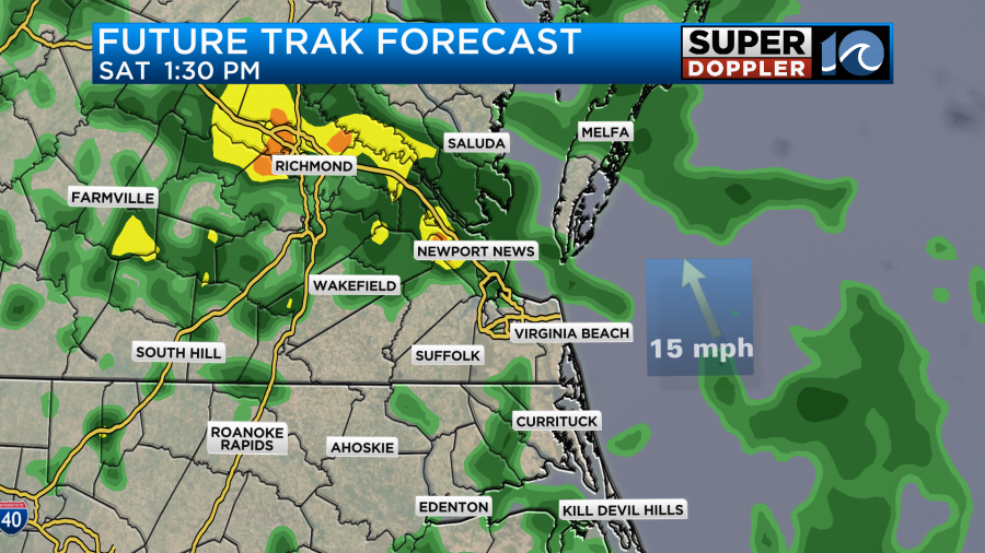
The breeze will pick up out of the southeast. Winds will gust up to 20 mph. High temps will top off near 60.
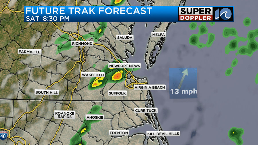
There will be some pockets of heavy rain, but they don’t look as large as they did in yesterday’s forecast. However, isolated heavy showers and some isolated thunderstorms will be possible Saturday evening as the cold front arrives.
We are looking at a quarter to a half an inch of rain, and I think it will be closer to a half an inch. Some locations could see a half an inch to an inch in the heavier downpours.
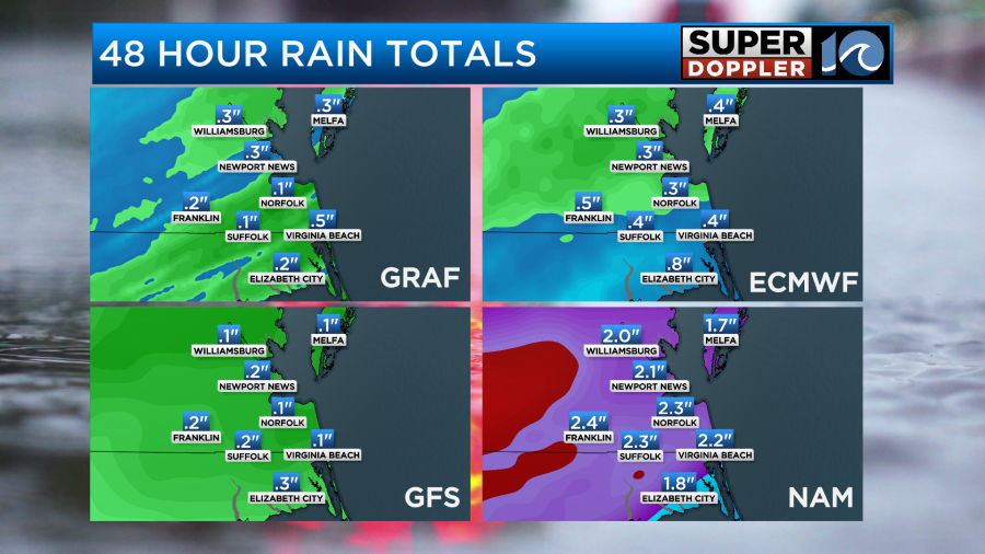
I think the NAM model is out to lunch, but we are keeping an eye on it.
The front and the low will move offshore by Sunday morning. After some isolated showers early in the morning we’ll dry out through the day. It will be decent, but it will be cool and breezy. High temps will be in the upper 50s. So after Sunday morning we will be dry for a long stretch. We’ll be mostly sunny for almost all of next week with highs in the 60s.

Yes!
Meteorologist: Jeremy Wheeler


