
As we went through the morning commute this morning we were lucky for a while in Hampton Roads. There was a lot of rain across northeast North Carolina, but it took longer for it to reach the metro. Between 7 and 8 AM some of the showers started rolling across the interstates.
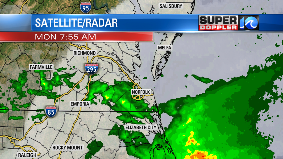
There were even few thunderstorms over North Carolina early. This was all caused by a warm front that was lifting north into the region.
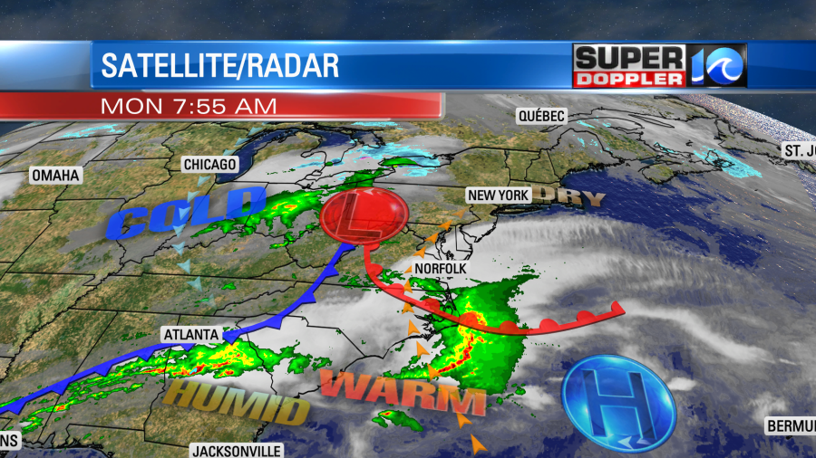
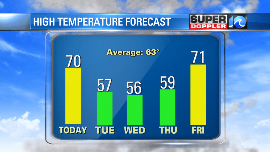
The warm front will lift north through the day. We’ll be in the warm zone for a while. The good news is that we should have a little clearing this afternoon, and that should allow us to warm up to near 70 or the low 70s today. It will be cooler on the Northern Neck and Eastern Shore (60s). The rain showers will be very spotty.
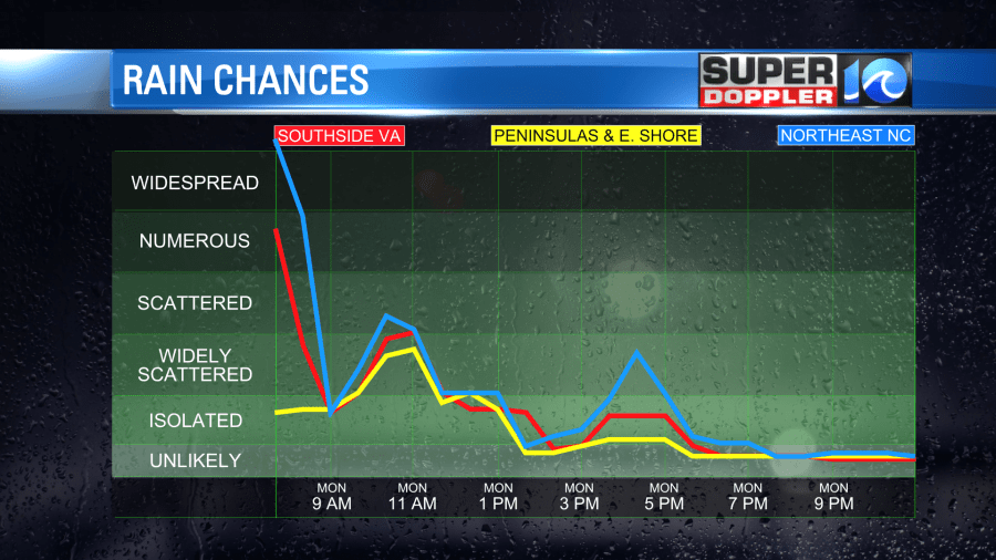
So there should be plenty of time to get outside and enjoy the weather. I’m really hoping that the rain washes out some of the pollen. However, I know that it is temporary. The cool front will move through tonight. That will cool us down over the next couple of days. High temps will only be in the 50s Tuesday through Thursday. Other than a few showers Tuesday night into Wednesday morning we should be dry during that time. We’ll be dry on Friday with high temps returning to near 70.
In national news…They are recovering and cleaning up from the tornado in Mississippi again today. Some locations will be cleaning up for months. This tornado was recently rated an EF-4 at its strongest point by the National Weather Service. That is 4 out of 5. It was also a long-track tornado. The death toll at the time of this writing was unfortunately, up to 25. Here is an article with more information: Deadly Mississippi tornado rated an EF-4.
Meteorologist: Jeremy Wheeler


