Yesterday there were more reports of tornadoes across the deep south. There were also some wind damage reports from some of the Gulf Coast states.
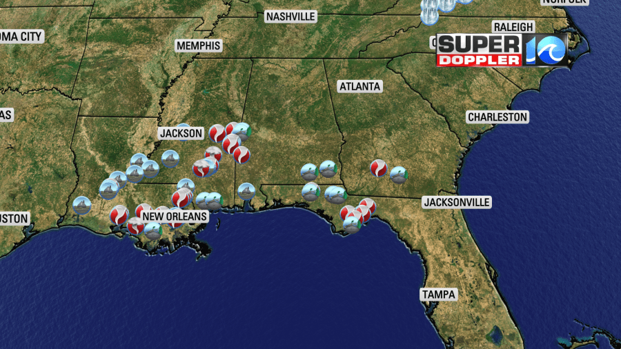
The southern portion of a 2-part weather system was able to tap into some unseasonably warm and unstable air. Plus an area of low pressure formed down that way. At the same time the northern area of low pressure created lots of heavy snow over the northern states. Today the northern low is drifting north and causing more wintry weather. The southern low is marching east.
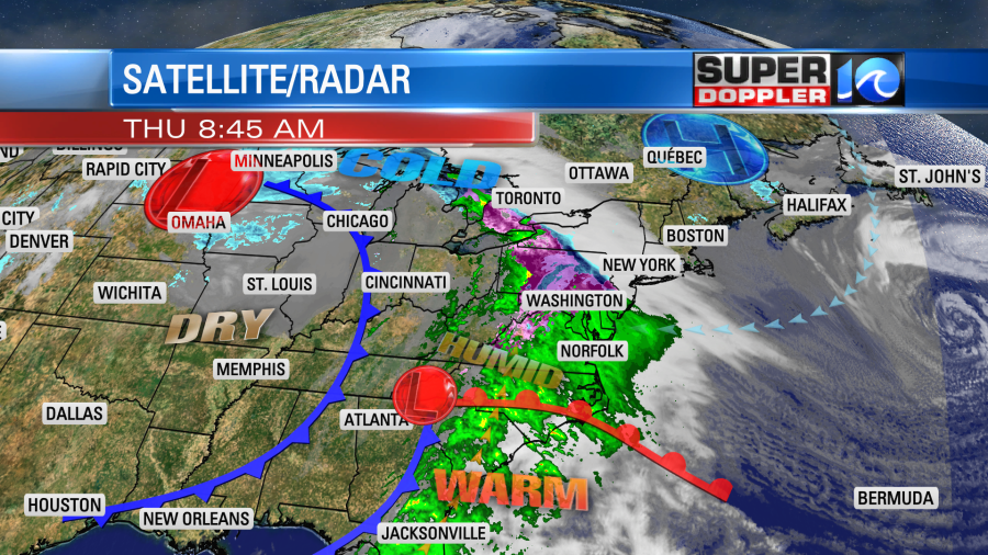
There is a warm front to our south. However, we already had a lot of rain this morning due to overunning precip.
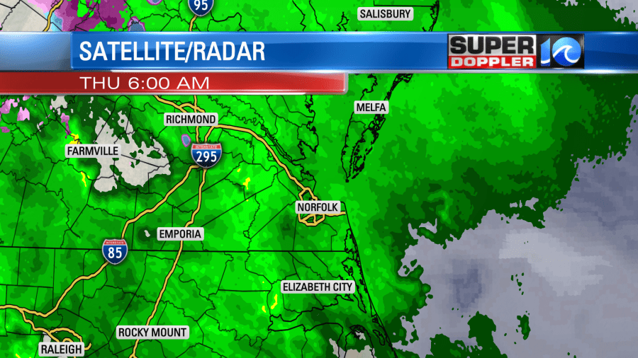
Local temps started off in the 30s and 40s. Other than a few sleet pellets our precip was in the form of light rain. However, there was a lot of sleet, rain, snow, and freezing rain to our north and northwest.
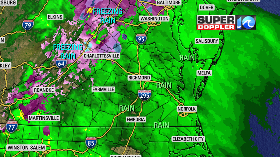
They will eventually warm up today to where that precip will mostly change over to rain or a melting mix. Meanwhile, our widespread rain will continue until at least noon.
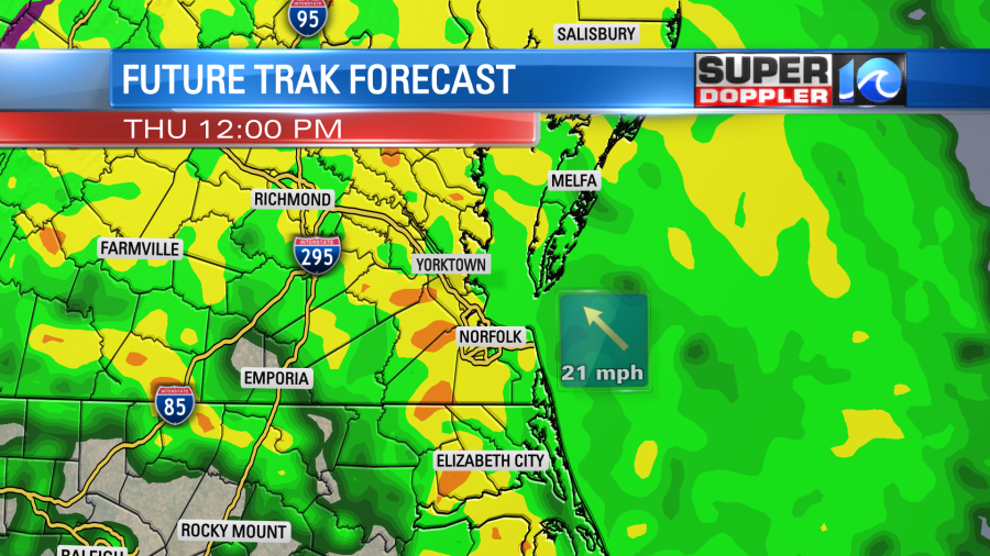
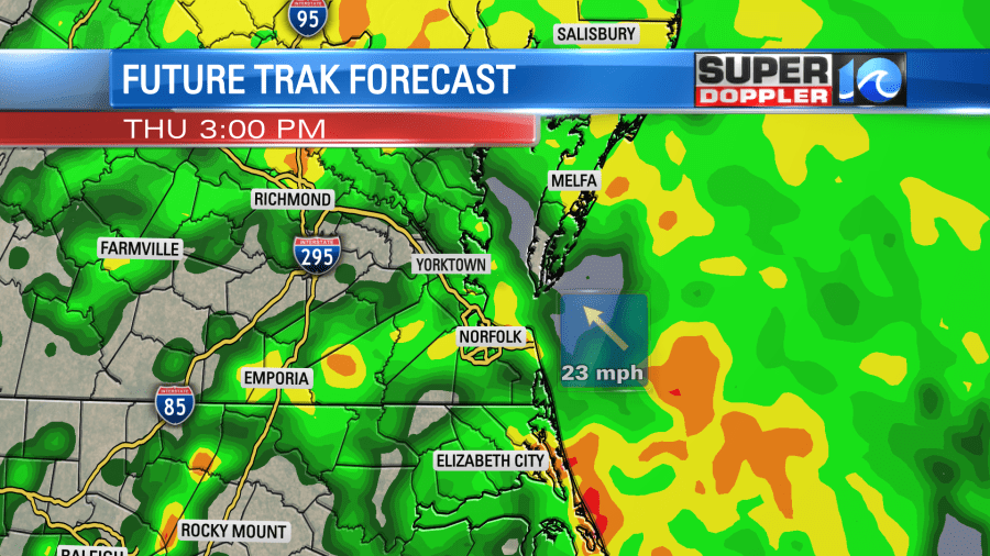
Rain showers will be wind-driven as the gusts will be up to 30mph out of the southeast at times. As we get into the afternoon the showers will break up a little, but there will still be a lot of rain out there. There will also be some warming at the surface with a dip in the jetstream moving in from the west. So we’ll throw in a few thunderstorms this afternoon along with the rain.
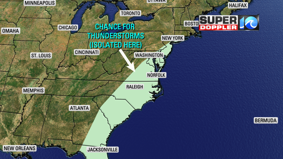
The chance for severe weather should stay to our southwest. However, there may be some brief heavy downpours in the area. There may be a few strong gusts of wind in the evening ahead of the cold front.
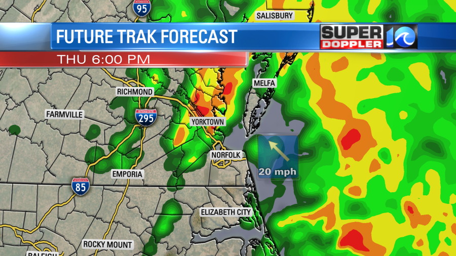
Then the rain will wrap up after 8pm. I haven’t forgot about temps. Temps will steadily warm up through the 50s today. Then we’ll hit 60 or the low 60s between the late afternoon and early evening.
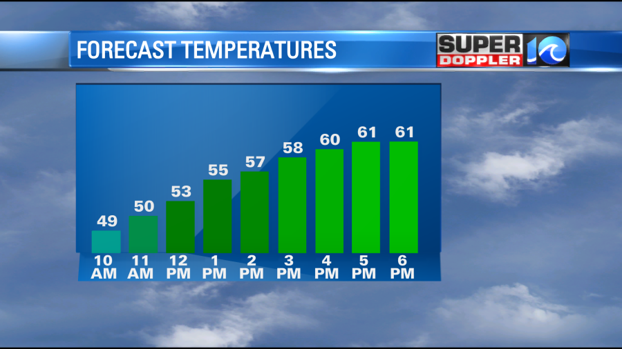
Highs will be in the 50s north of the metro.
After the cold front moves through tonight we’ll dry out. We’ll have a westerly wind develop, and we’ll clear out late tonight. Low temps will drop to the 30s and 40s again. Then tomorrow the cold front and low pressure system will push offshore. High pressure build in from the west. We’ll have partly cloudy skies with high temps in the mid 50s.
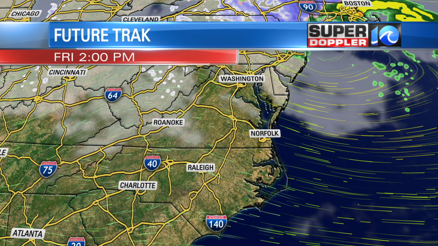
If it wasn’t for the breeze I would say that it would be pretty nice day. However, winds could gust up to 20mph.
We’ll be dry and cool or even chilly over the weekend. High temps will be n the low 50s on Saturday and then in the upper 40s on Sunday. We’ll be chilly and dry early next week as well.
The long-range models are advertising some much colder air for later next week into the weekend. We might be dealing with high temps in the 30s. As I mentioned in previous weather blogs… This could (possibly) increase our chance for a white Christmas this year. We’ll see. It’s still way too far out to be specific. Keep checking back for updates.
Meteorologist: Jeremy Wheeler


