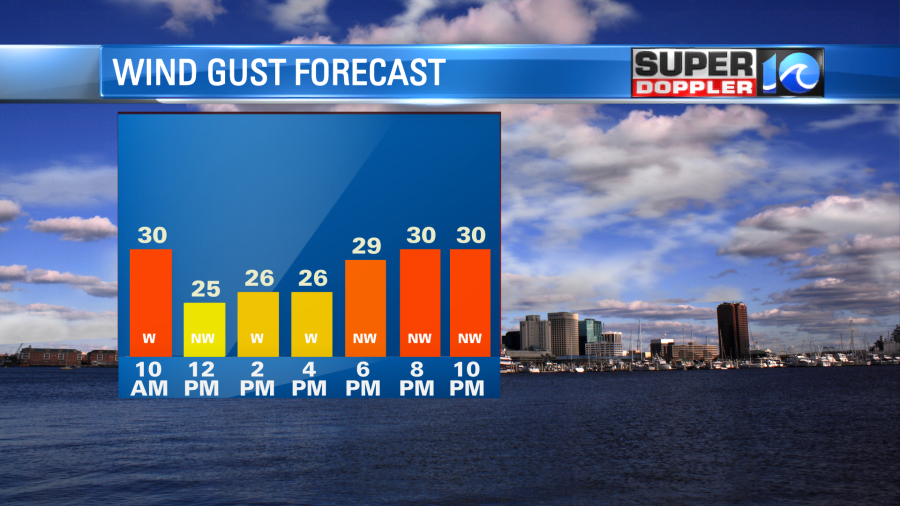
Today is going to be a dry, windy, and chilly day for sure. We started off with temps in the 30s, but the wind chills were in the 20s and 30s. Wind gusts were out of the northwest at 30mph near the shore. This is created from the big weather pattern. The low pressure area that was near our shore yesterday has moved up to the northeast. It has become a moderate nor’easter over the northeast states.
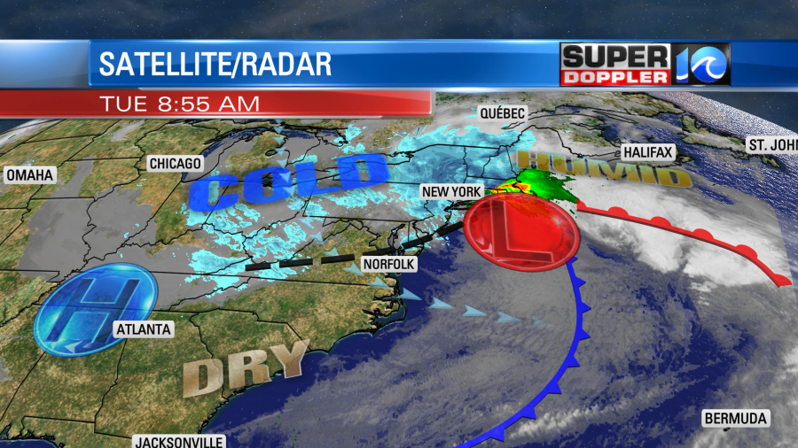
Heavy snow is falling up that way today. Some locations up there could see over a foot of snow.
Locally, we will have a sinking/drying wind off of the Appalachian mountains. Plus, we are closer to high pressure which is edging closer to us from the west. So we’ll be mostly sunny here today with a few more clouds this afternoon. Winds will gust up to 30mph at times out of the northwest.
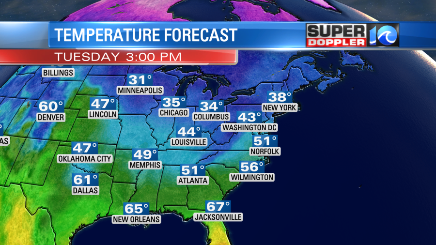
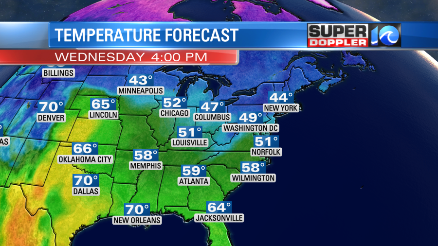
This will keep our high temps about 10 degrees below average. We’ll top off in the low 50s this afternoon with upper 40s north of the metro.
This has also created some high waves along the oceanfront. Nearshore waves are running about 5-9ft along the Outer Banks. There will be some more ocean overwash during high tide. Plus, there could be some more beach erosion there.
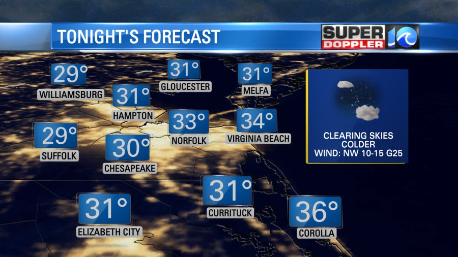
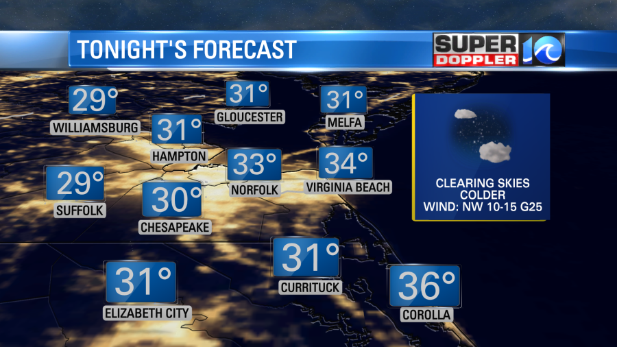
Tonight the wind will decrease a little, but not too much. If it drops inland (like I think it will), then temps will be able to drop down to the 20s. We will drop down to the low-mid 30s in the metro.
There are Freeze Warnings up for northeast North Carolina and for the Southside.
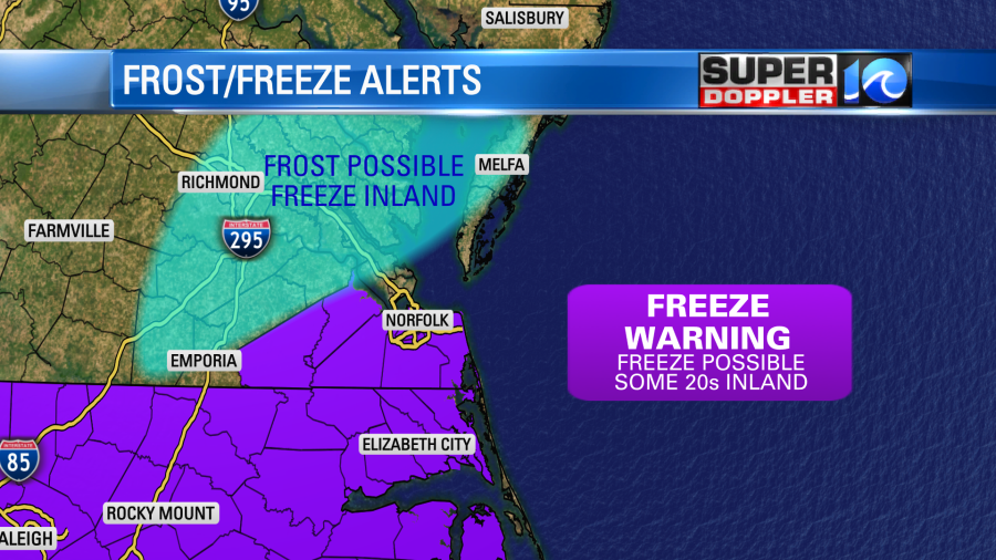
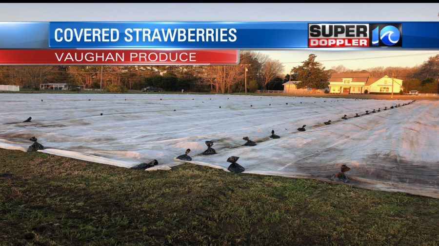
I think…the main reason that there aren’t warnings for the Peninsula, Middle Peninsula, and Eastern shore is that they’ve had a decent amount of freeze and frost conditions already. (Normally we wouldn’t have these alerts until late March or early April). Either way be sure to bring in the potted plants, and protect the outdoor tender vegetation.
Skies will be mostly clear. Winds will gust up to 20mph for some. That means that wind chills tomorrow morning will be in the 20s and possibly in the teens. That is very cold for mid-March.
We’ll almost have a repeat tomorrow. We’ll be mostly sunny, dry, and chilly again. However, the wind won’t be quite as strong as today. High temps will be in the low 50s.
We’ll finally change things up by Thursday. We’ll be partly cloudy with temperatures warming to near 60 in the afternoon. The wind will finally decrease. Then temps will rise to the upper 60s on Friday. We’ll stay dry for St. Patrick’s Day. However…it is still looking like rain on Saturday. A strong cold front will move through in the morning. This will create scattered rain showers and more gusty winds.
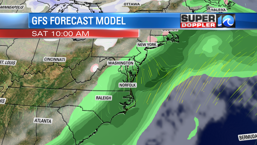
That will be bad news for the St. Patrick’s Day parade. Plus, this will affect any events/races for the Shamrock Marathon weekend. We will dry out by Sunday, but it will be chilly and breezy again for the actual marathon. The timing may change on the precip. So stay tuned for updates. Either way I’ve lowered the weekend temperatures. We are now aiming for highs in the 50s on Saturday and upper 40s on Sunday. Sighhh.
Meteorologist: Jeremy Wheeler