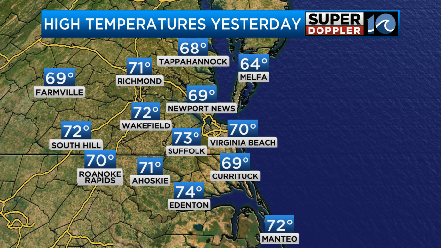
It was a very nice day yesterday. It was warm with lots of sunshine. High temps made into the upper 60s to low 70s.
Today we are going to warm up even more for this Election Day. We’ll have fair skies with a decent southwest breeze. So high temps will aim for the mid-upper 70s this afternoon locally.
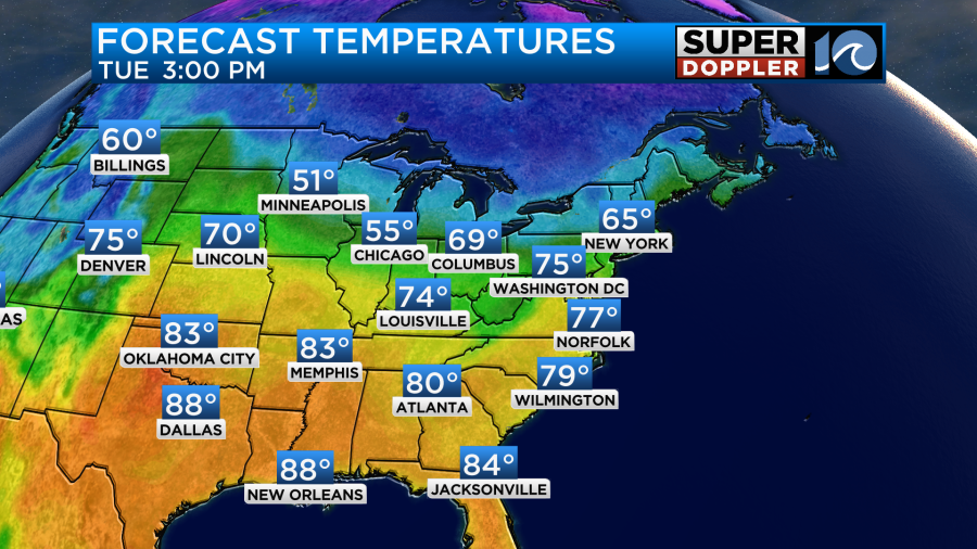
There is unseasonably mild air in the Northeast and Mid Atlantic. It is very warm across the southern states. The local record high for today is 79 degrees which was set just last year. I think we’ll be just shy of the record. It will be warm at the polls for voters, but typically the lines aren’t too long outside of general elections.
The wind will gust up to 20mph at times. Between that and the dry air it should be pretty comfortable outside.
We have high pressure offshore with a cold front to our northwest.
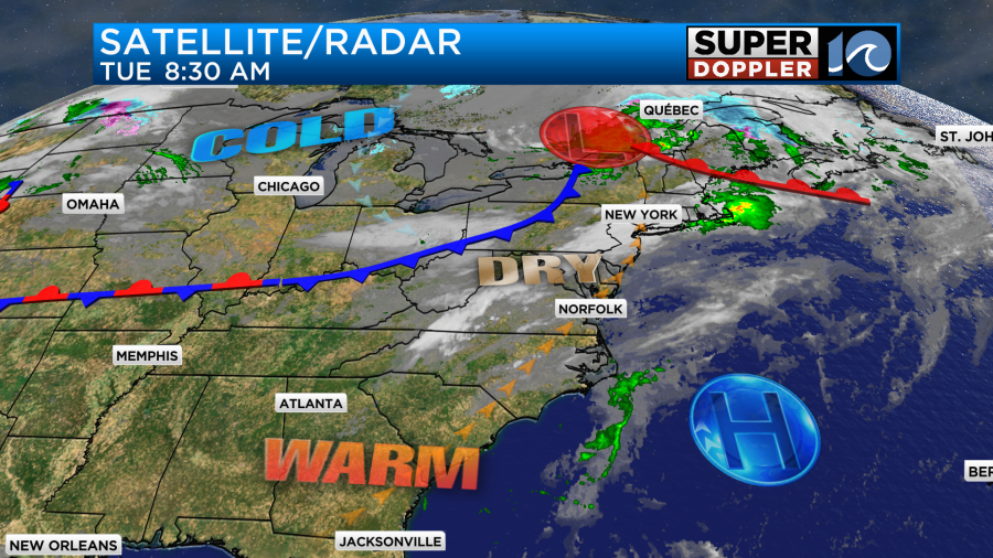
The front will move through tonight, but it will pass through as a dry front. So there won’t be any rain, but the wind will change overnight. It will turn out of the northeast. Tomorrow, much cooler air will enter the area. High temps will aim for the mid 60s.

We’ll be mostly sunny, but the northeast breeze will keep the temps down. There may be some 70s inland/south. The front will bounce back north as a warm front on Thursday. So high temps will jump to the upper 70s again. We might even make it to 80.
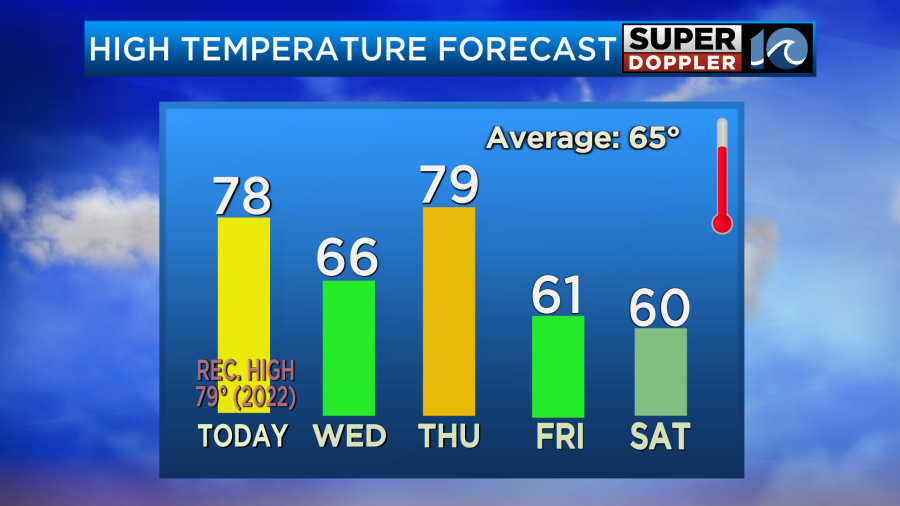
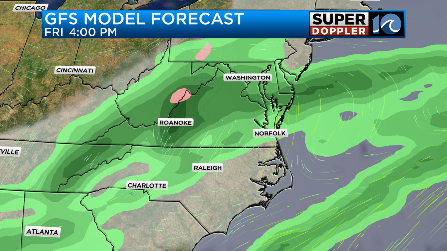
We’ll be mostly sunny. By Friday a stronger cold front will push through the region. We’ll have increasing clouds with scattered rain showers developing during the afternoon.
Temps will be stuck near 60 for most of the day. We’ll start in the 40s Saturday morning with some clouds and isolated showers. We should be dry for most of the day though. High temps will be near 60. Then we’ll be in the upper 50s on Sunday with lots of sunshine.
Meteorologist: Jeremy Wheeler