Today we are going to transition our weather a little bit. The upper level low that brought us the instability clouds over the last 2 days will move out. Plus, high pressure at the surface will build in from the west.

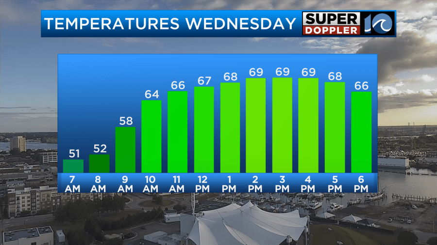
This is going to allow for more sunshine through the day. Plus, our surface winds will lighten up. Though they will still be generally from the north. It should be a nice day with fair skies and high temps rising into the upper 60s to near 70 degrees.

This will be a big rise in temps from this morning.
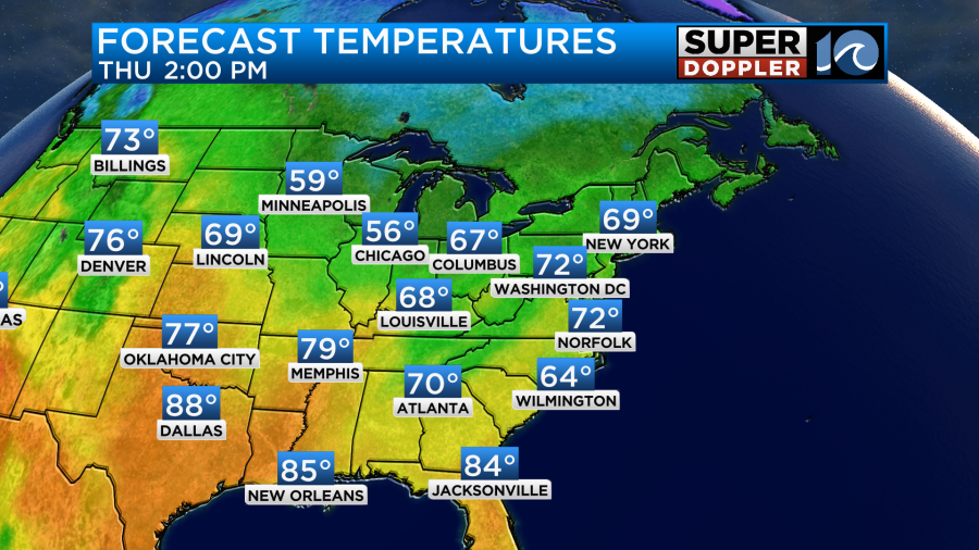
Tomorrow the high pressure system will slide even more to the east. This will allow the surface wind to turn out of the south (staying light). This will in-turn help to increase our temps, but it will also increase the moisture.
Clouds will increase through the day. We should stay dry through the daytime, but some spotty showers will be possible by the early evening.
Overall it will be a nice day.
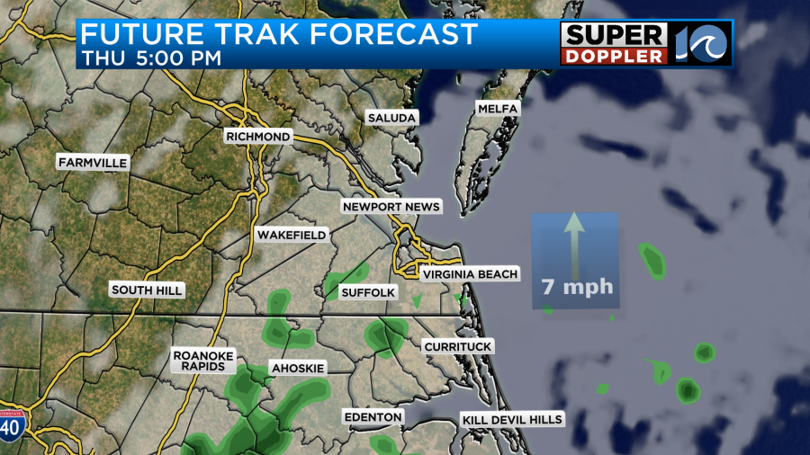
Scattered showers will increase Thursday night into Friday morning….Probably. Almost all of the models are showing a weak area of low pressure forming close to the coast and moving north/northeast.
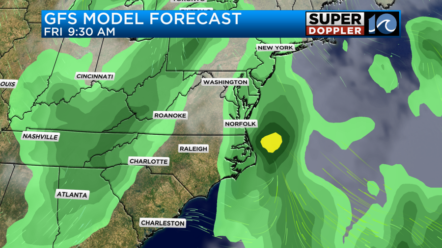
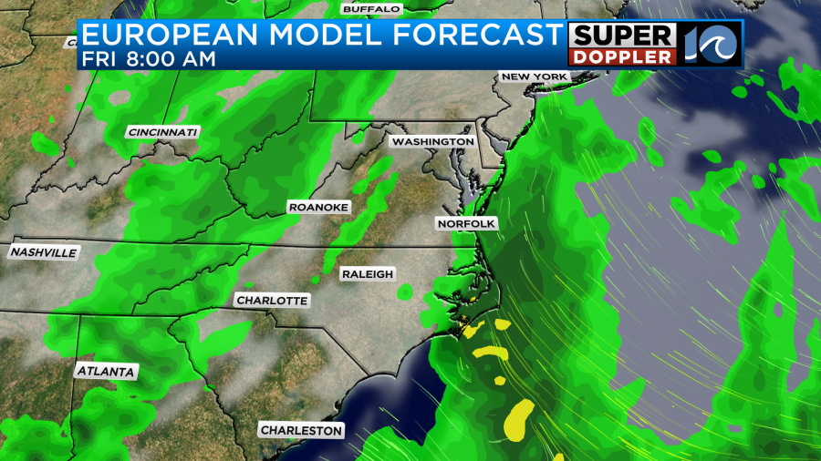
Even the NAM and hi-res NAM models show some rain Friday morning. However, one model (our own Future Trak) does not.

I think it basically has the low farther offshore. This is a bit frustrating since it is an outlier, but it also pretty hi-resolution. So it could be on to something. For now I’m siding with the wetter models and calling for scattered showers in the morning with drying in the afternoon. High temps will be in the 70s. We’ll have a better idea by this afternoon as the models put out a couple more updates.
After Friday a cold front will move through the region Saturday morning. Again the models are split as to how this affects our area. The GFS model has rain Saturday morning which then lingers into the early afternoon.
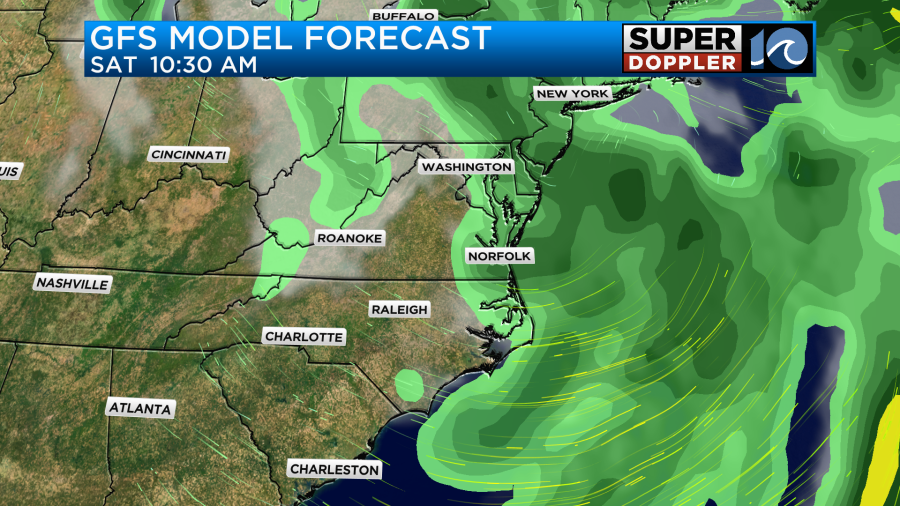
The Euro dries us out much faster, but it does also have a few/brief light showers in the morning. So we’ll see how wet we get on Saturday. I am calling for scattered showers in the morning with drying in the afternoon. However, the showers could be very early. I’ll have a more definitive forecast in tomorrow’s weather blog.
There is still a tropical disturbance east of the Lesser Antilles that has a high chance for formation over the next 24-48 hours.
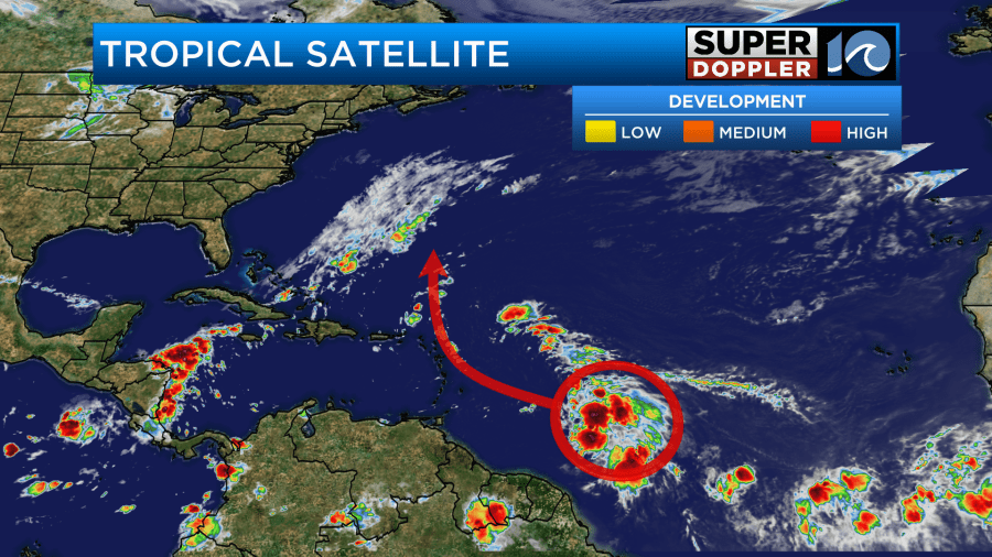
This feature may form and brush up against the Lesser Antilles, but it would probably remain weak through that time. After that it will likely hook to the north and then northeast.
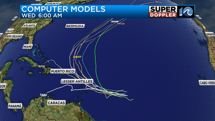
This would likely keep it east of Bermuda. We’ll keep an eye on it.
In world news…. It wasn’t just a warm September across the Globe. It was WAY above average. Take a look. This is directly from NOAA: NOAA September temperature report.

Notice how tall the dark red bar is on the right compared to the rest of the graphic. Wow! The temperature was 2.59 degrees F above the (1850-2023) average. That is a huge number for a global average. I think they had to create an extra tick mark on the graph in order to show the new number. Around here it was warm for most of the month, but I don’t think we were even in the top 10 warmest. We were actually close to average.
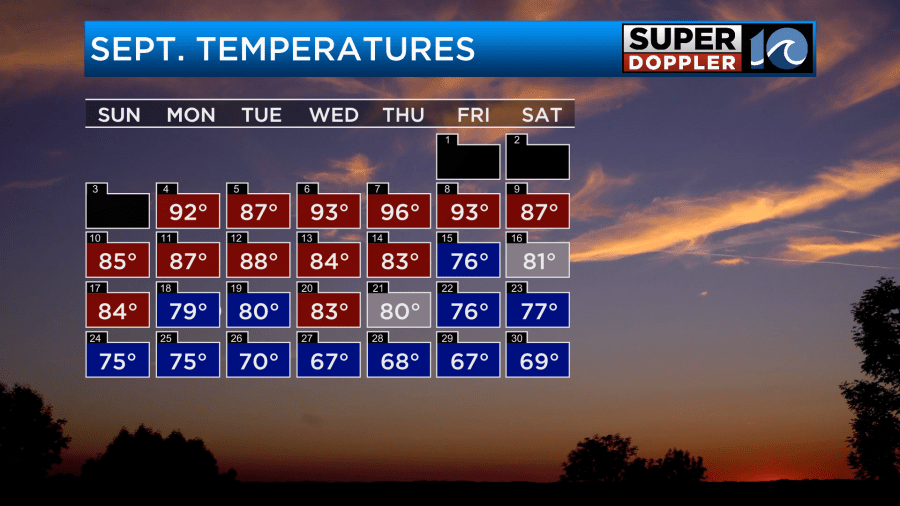
Still there were a lot of warm or hot days despite the big cool down at the end of the month.
Meteorologist: Jeremy Wheeler


