The breezy/windy conditions continue over the region. Last night a wind-shift boundary even helped to cause an interesting quirk in the weather. We had a few snow flakes and some graupel pellets fall during the overnight hours. Tammy in Newport News captured this image.
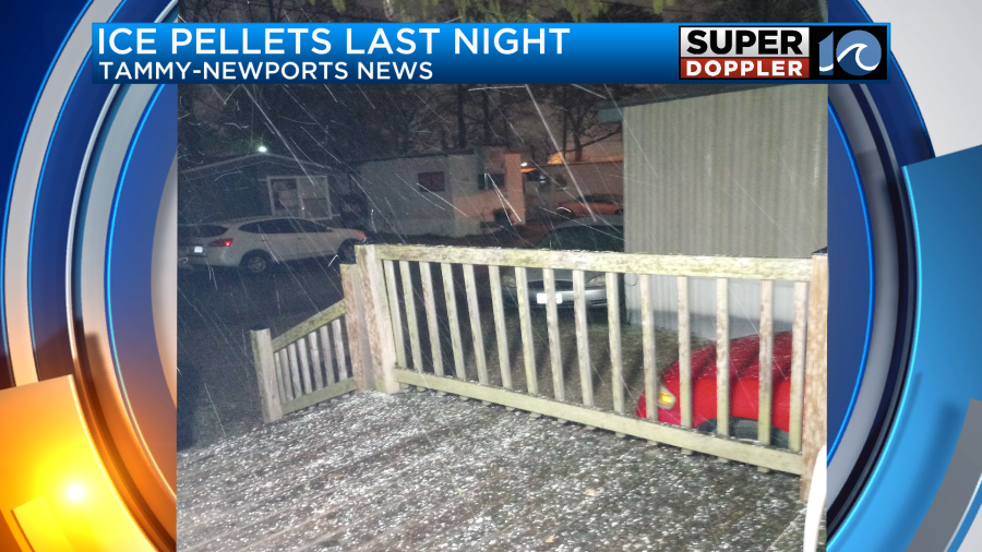
All of this melted in a short period of time as temps were well above freezing. Otherwise, there was some light rain over the area for a time. Now the wind-shift has dropped to our south. A cold front is sinking more to the south with an area of high pressure edging closer from the west.

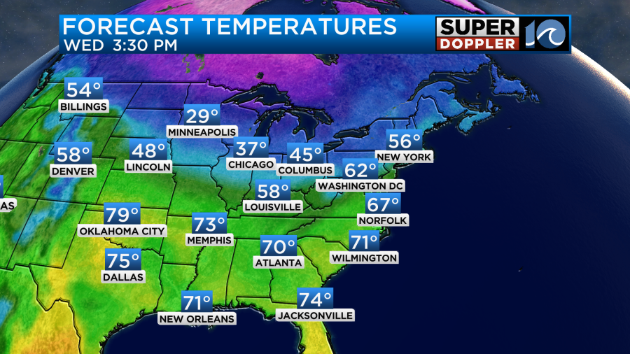
We’ll have a decent day today with lots of sunshine. However, it is cold this morning, and it will be chilly this afternoon. Wind chills were in the 20s and 30s this morning. High temps will be in the mid 50s later today.

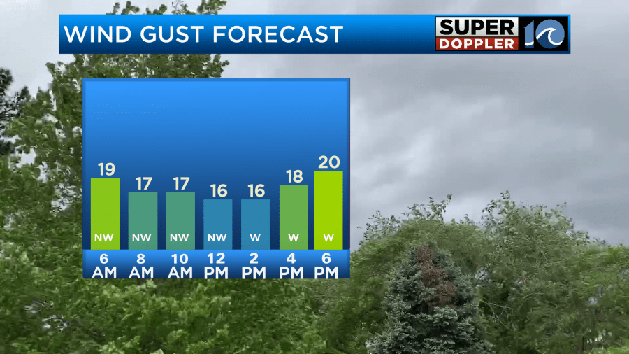
Winds will be fairly light from the mid morning through the late afternoon, but they will increase this evening.
Tomorrow we’ll have more of a west/southwest breeze. We’ll also have lots of sunshine. So high temps will bounce up to the upper 60s.
It should be pretty nice out. Keep in mind that it will be super dry and breezy. The ground has also dried out quite a bit (finally). So we’ll need to be extra careful with grills and flame units. Winds will gust up to 25mph for a time.
The wind direction will change on Thursday. It will turn into a north/northeast wind, and it will be (you guessed it) breezy.
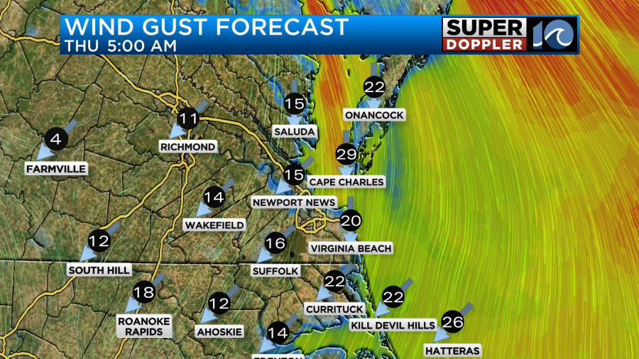
This will be as another cold front drops to our south. High temps will drop to the low 50s. At least we’ll be dry. We’ll also be dry for the first half of Friday, but some rain will move in later in the day.
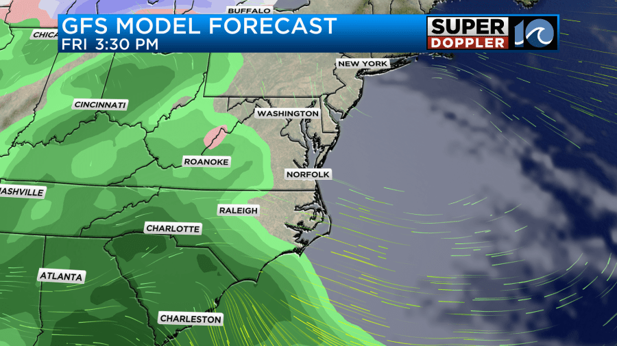
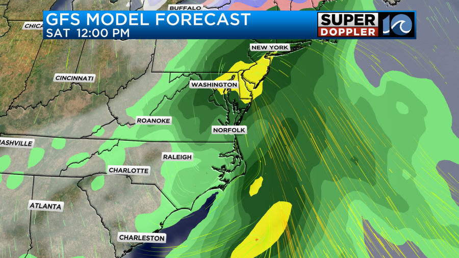
An area of low pressure is still forecast to move through the region on Saturday. However, it no longer looks like it will come up along the coast. It may now take more of an inland route. That could mean some warmer temperatures. For now I have high temps near 60 degrees. Rain may continue for most of the day.
The long range models disagree on the Sunday forecast. The Euro actually keeps some precip in the forecast while the GFS totally clears us out. We have a little time. I’ll update you on that part of the forecast in tomorrow’s weather blog. For now I am keeping Sunday dry.
Meteorologist: Jeremy Wheeler


