The weather yesterday went pretty much as forecast. We had rain for most of the day. It was light for a long time, but it was also widespread. The rain broke up a little during the late afternoon into the evening. However, some thunderstorms also mixed in with the showers during the early evening.
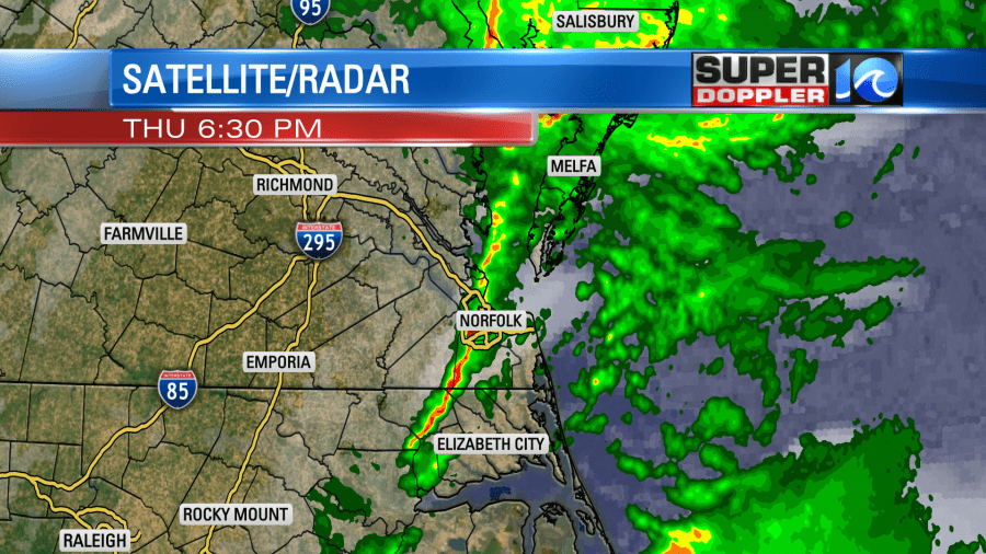
The rain totals also went as forecast. Most locations had 3/4 of an inch up to an inch-and-a-half.
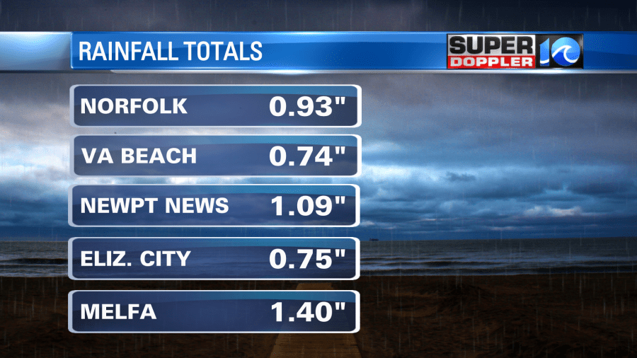
My weather watcher Barry in Gloucester had a little over 2 inches. This is good news for the region, especially for the Eastern Shore, as they are still in a moderate drought.
This was mainly from an area of low pressure and a couple of fronts. there was also a big stream of moisture coming up from the south/southeast. Today that weather system has moved up into the Northeast states. Now there is a lot of rain and snow between New York and New Hampshire.
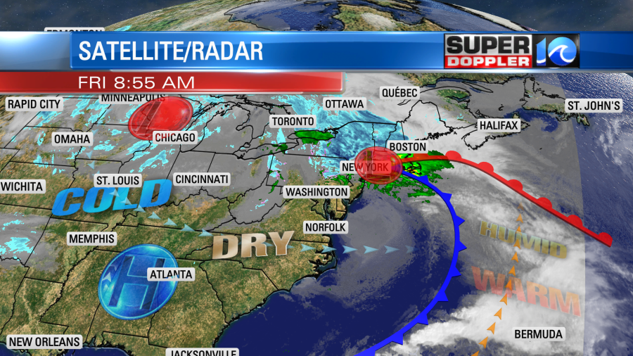
There is another system in the north/central U.S. that has caused all of the heavy snow up that way. It will continue to cause more scattered snow showers up there today.
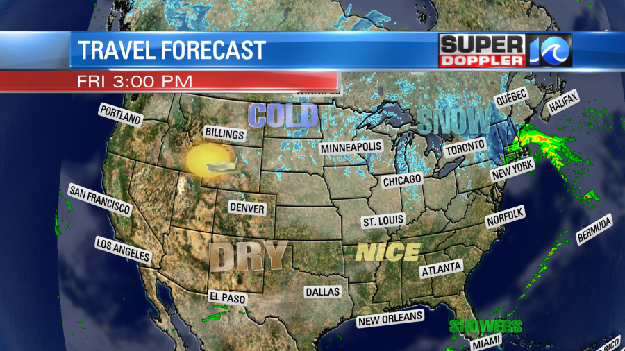
Travel for the rest of the country should be good this afternoon. Locally we will have fair skies for most of the day. High pressure is building in from the west. We’ll have a west breeze with some gusts to 20mph. High temps will rise to the mid-upper 50s this afternoon.
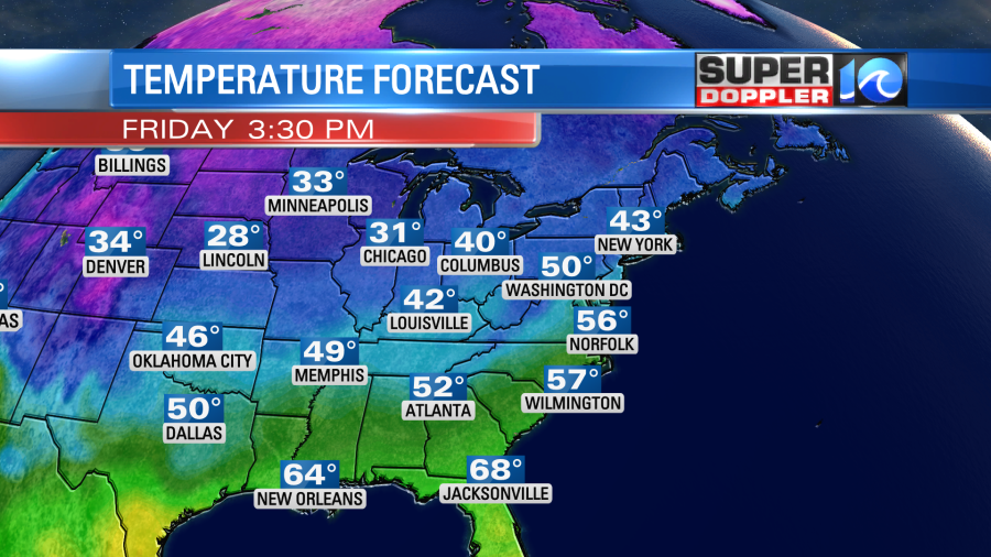
The weekend looks dry for both days. High temps will be in the low 50s tomorrow. Then we’ll be in the upper 40s on Sunday.
We’ll stay dry and chilly for the first half of next week. High temps will mainly be in the 40s. Then later next week things get interesting. The models are showing a series of low pressure systems that will quickly move near or through the region. At the same time a large mass of colder air will likely drop down into the U.S. So we have a potential for some wintry weather as we get closer to the holidays. I do not want to get too specific as A. It’s too far out, and B. the models have been shifting around lately. I will, however, show a couple shots of the GFS and European models. Take a look:
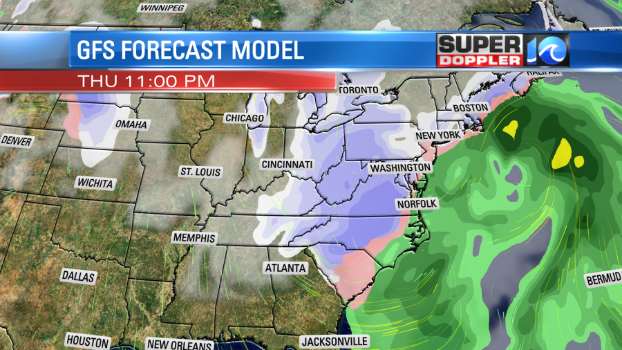
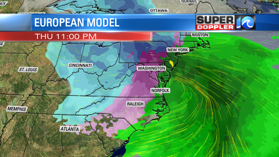
Yes, they do show some of that snow rolling into our region, but I won’t show that as they have varied in the timing and placement…and moisture. So we’ll be updating on that as we go through the next few days.
Meteorologist: Jeremy Wheeler


