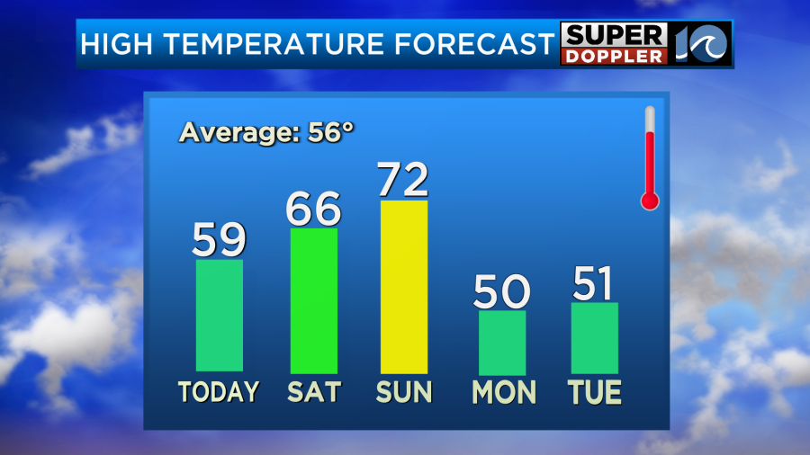
The temperatures are going to increase going into the weekend. We are going to have a couple of nice days. Then temps will jump on Sunday, but rain will be moving in. Let’s talk about it.
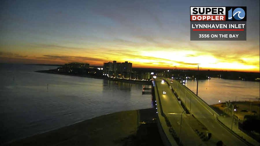
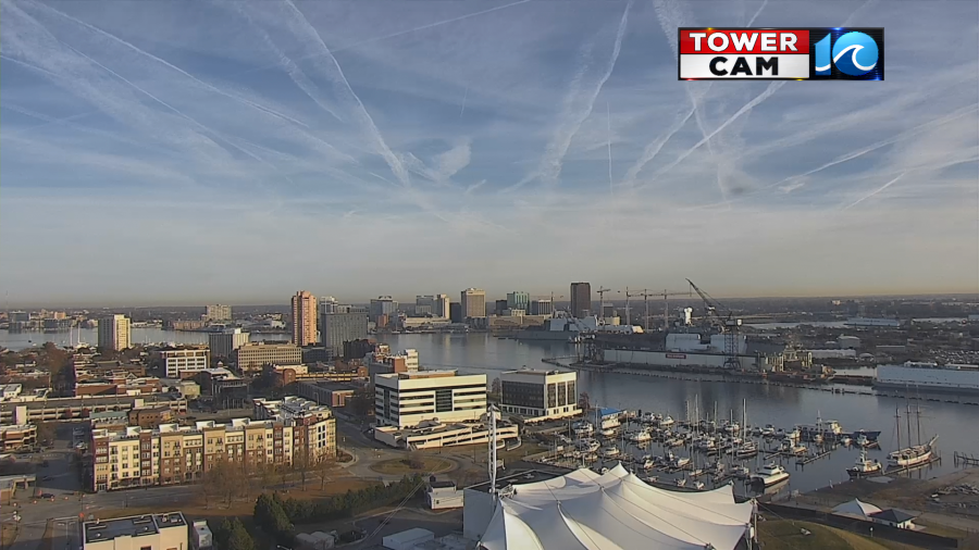
Today we started with some beautiful colors on our tower cams.
High pressure is to our south, but it is fairly close by. Meanwhile, a strong cold front is building across the central U.S.

We are going to have a lot of sunshine with some occasional high/thin cirrus clouds out there. It will be pretty nice this afternoon. We’ll have a light south wind developing with high temperatures rising into the upper 50s.

There will be a few 60s inland/south. Tomorrow we’ll warm up even more. High temps will be in the mid-upper 60s with partly cloudy skies.
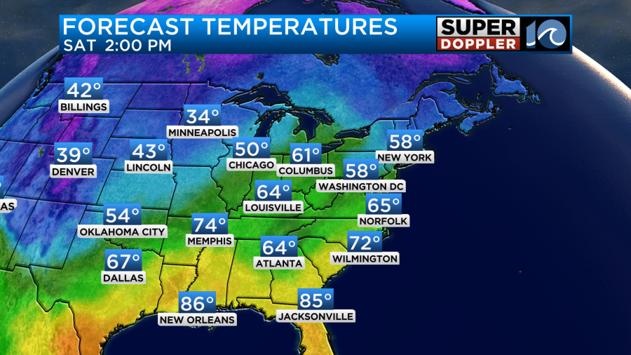
It should be good weather for putting up holiday decorations, and for going to any holiday parades in the evening. However, Sunday won’t be too pretty. We will develop a strong south wind through the day. Gusts could be up to 25-30mph, and that is just the general wind. This will push our high temperatures up to the low 70s.
Dew points will climb above 60. Wind the increased moisture we’ll have a lot of clouds in the area. We’ll also have some spotty showers in the morning through midday.
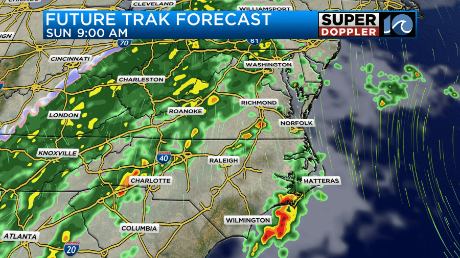
During the afternoon we’ll have some scattered showers moving in. Our Future Trak model as a large slug of rain just offshore and over the Outer Banks.
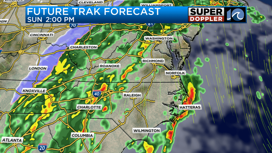
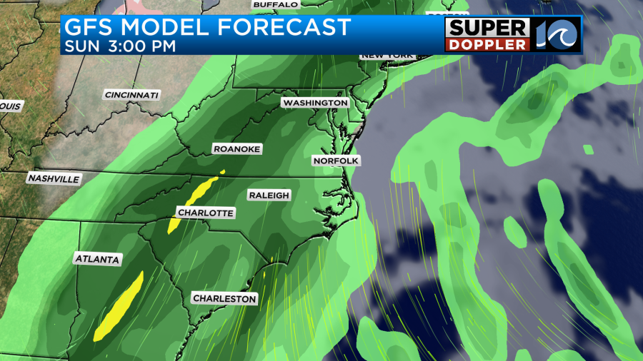
If that slug ends up just a little more to the west, then we’ll have a good chance for rain during that time. The GFS connects the dots a little more. It has quite a bit of rain by the afternoon.
Either way the rain chances go way up in the evening as the cold front gets closer to the region.
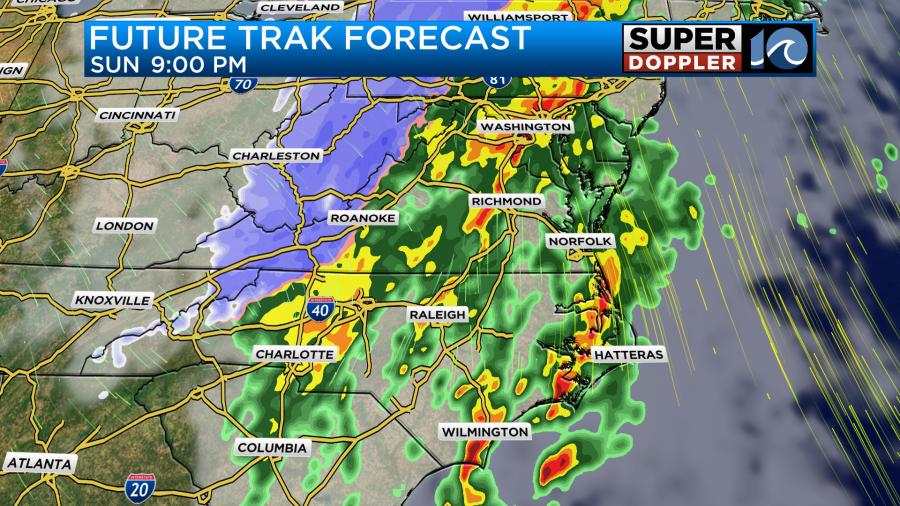
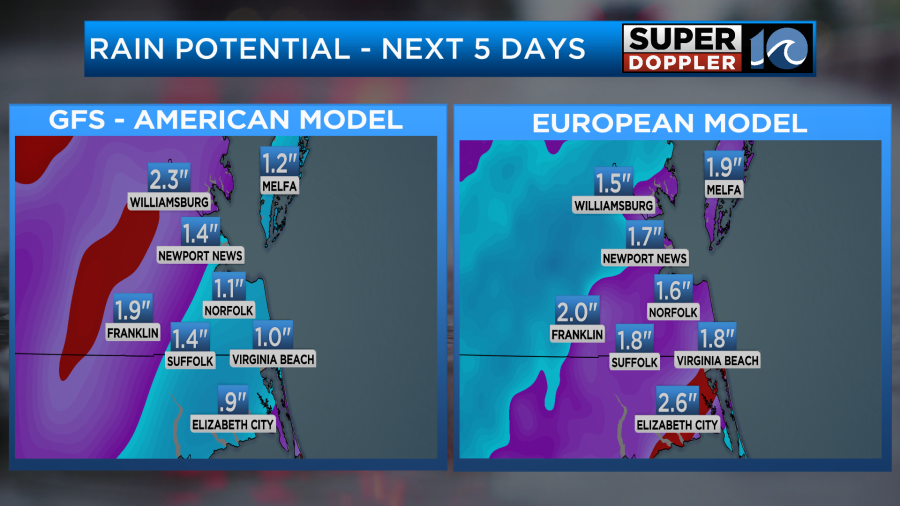
There may be some heavy ran and thunderstorms in the region. Strong gusty winds will be the main threat. The rain will continue into Monday morning. This could impact the morning commute. If the rain is still heavy, then it will have a big impact. The rain should move out by midday Monday, but check back for the updates on that. We could see 1-2″ of rainfall before it ends.
We’ll then stay cool and dry for most of early next week.
Meteorologist: Jeremy Wheeler


