Yesterday was pretty wild. We did have the heavy rain and strong winds as expected. Low pressure was to our west, and a warm front was to our north during the day.
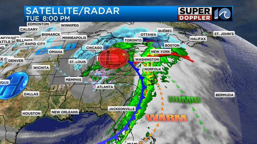
Most of the rain during the day was light, but it felt heavy with the wind. Then last night a cold front moved towards our region. This focused the heavy rain and strong wind over our area.
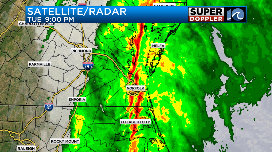
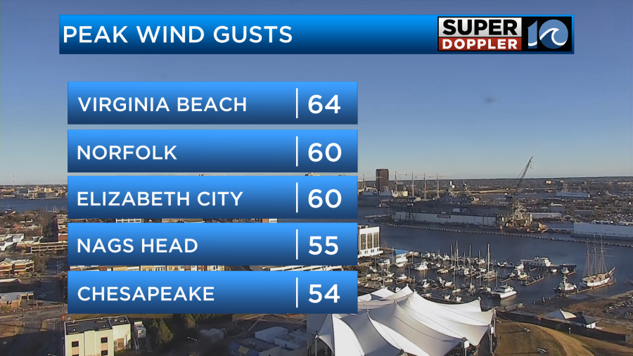
Before and during the front winds gusted up to 50-60mph over much of the area. There were a couple of gusts close to 70mph over the water.
There were numerous damage reports scattered all over the area. Most of them were trees and limbs down.
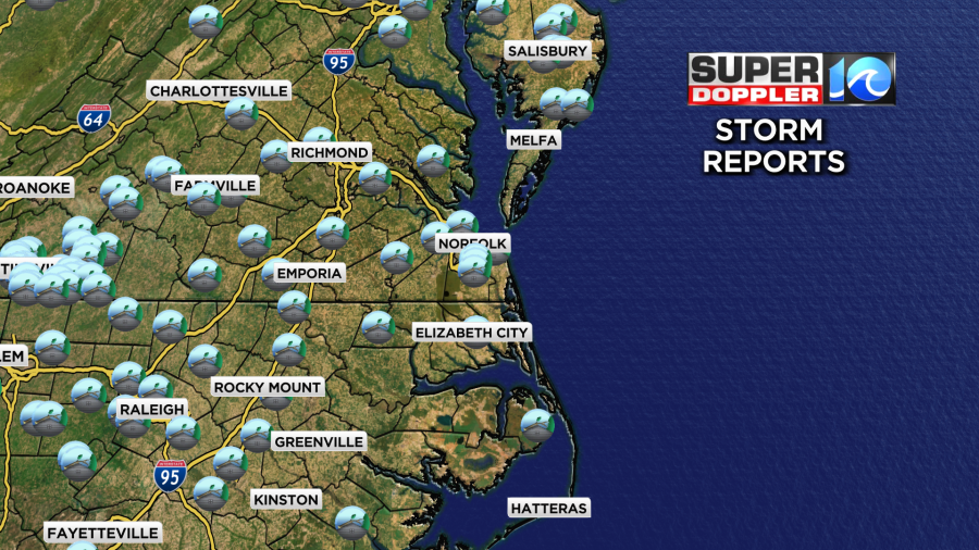
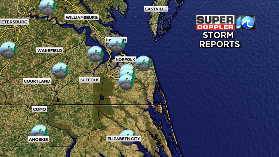
There was some tidal flooding along the north end of the Albemarle Sound as expected. Look at some of the flooding around Elizabeth City.

The heavy rain moved out last night, but we had another round of showers early this morning.
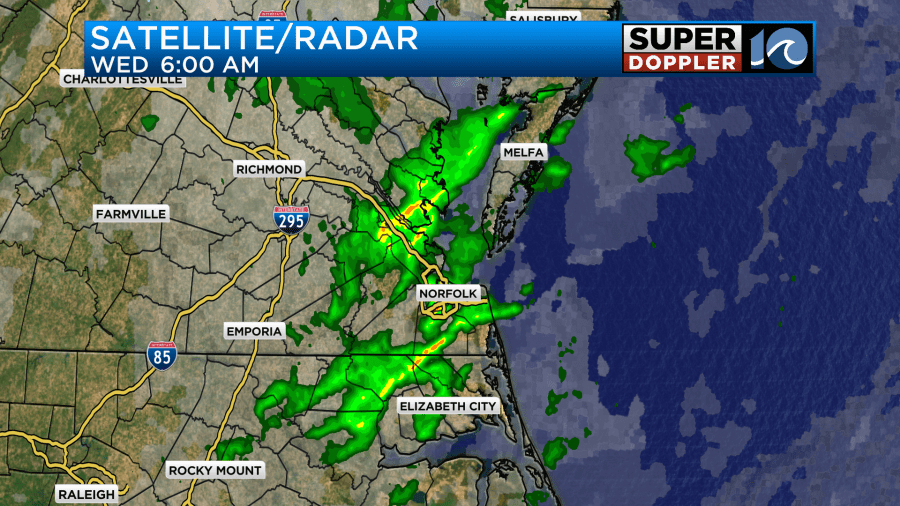
This was along an upper level trough, and I think there was also a mini-cold front because the temps dropped after the rain moved out.
After all the rain ended we totaled about 1 to 1.5″ of rainfall. I do think this was undersampled due to the strong wind.
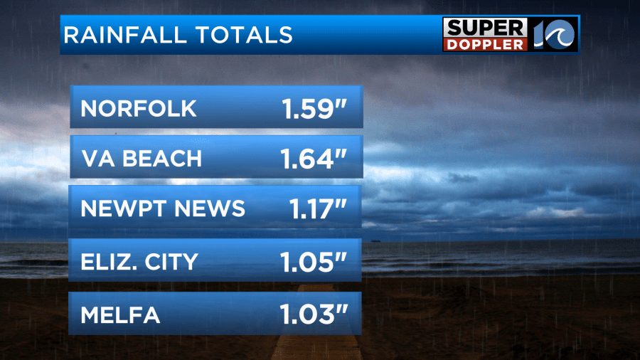
When the wind blows strong for a while, then the rain has a harder time falling into the rain gauge. We call this under catch.
Today the area of low pressure will move away from us to the northeast. High pressure will build in from the west.
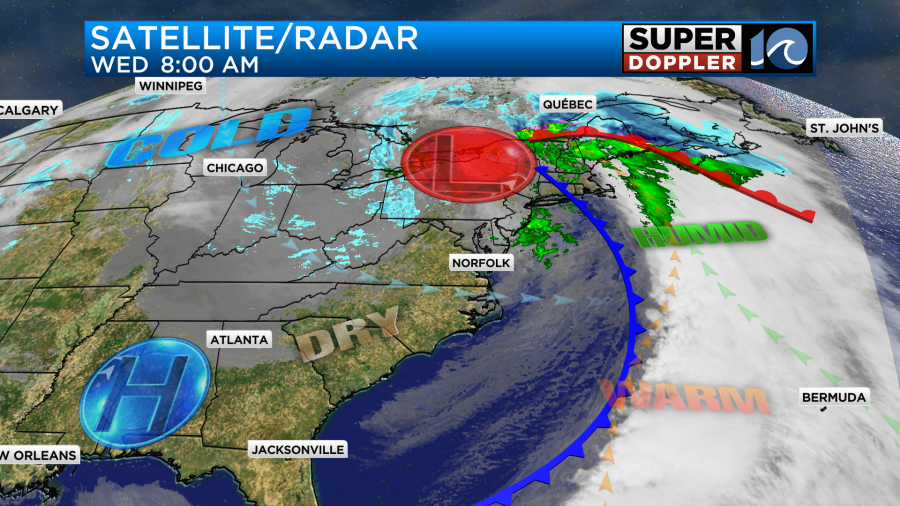
The problem is that the wind will still be fairly strong out of the west. It won’t be nearly as windy as yesterday, but wind gusts will still be up to around 30mph.

High temps will be in the low-mid 50s, but it will be chilly with the wind at times. Winds will decrease late in the afternoon, and it should be much calmer by this evening. The west wind will create some issues with tidal flooding in a couple of locations. There may be some minor to moderate tidal flooding on the sound-side of Accomack county.
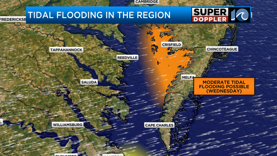
There will also be some tidal flooding on the sound side of the Outer Banks.
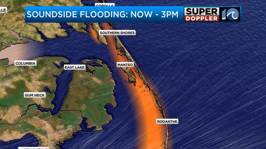
The water could rise a couple of feet up to 3ft in some places there. The rest of the region should be fine. The water levels should actually drop on the western side of the Chesapeake Bay. Aside from that….High temps will be in the low-mid 50s today.
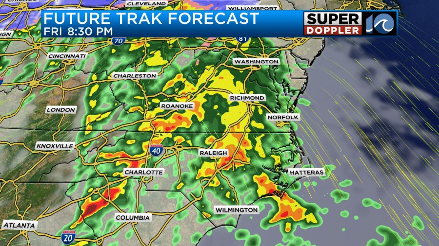
Tomorrow we’ll have quiet/dry weather with lots of sunshine. High temps will be in the mid 50s. By Friday another area of low pressure will be strengthening to our west. We’ll have a southerly wind return to the area. It will not be as strong as today, but it will become windy again for a time. Mainly from late Friday into Saturday morning. There will be moisture returning as well. So we’ll have a few rain showers late Friday. Then possibly a lot of rain Friday night.
There will be some scattered showers early Saturday morning, but a front should dry us out later in the day. High temps will be near 50 on Saturday. We should go back to quiet weather on Sunday.
Meteorologist: Jeremy Wheeler