This last weekend we had a brief blast of Winter (without the snow). Wind chills were in the teens and 20s on Saturday. It made the Polar Plunge in Virginia Beach live up to its name. Then by Sunday temps were mild enough (mostly in the 50s) that I didn’t even need a jacket in the afternoon.
Last night there was a weak area of low pressure to our southeast. It stayed to our south, but it did push some moisture up into our region. This created a few light rain showers during the evening and overnight.
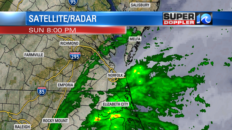
The rain barely added up to a hundredth of an inch in the rain gauges. However, some roads were wet this morning for the AM commute. It’s interesting that technically we are still below average for rainfall for the month, year, and overall last 18 months.
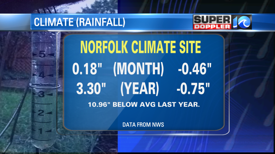
However, lots of our yards have been muddy lately, and the ditches have been full. I think we’ve had a lot of days of rain over the last month, but most of the days only had very light amounts.
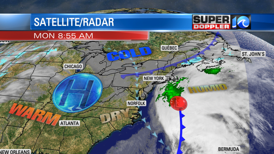
Today we will dry out as low pressure moves offshore. High pressure is edging in from the west, and a cool front is falling apart to our north.
We’ll have fair skies today with high temps in the low-mid 50s.
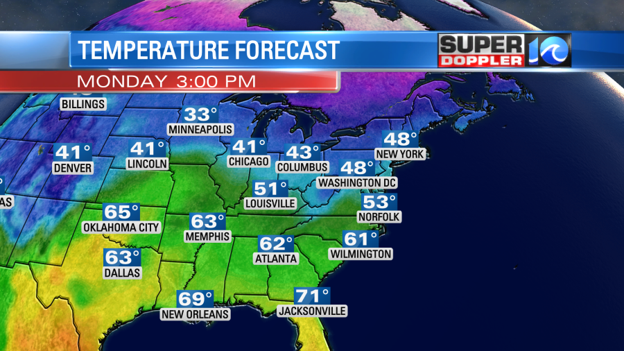
The weather would be nice, but at times the breeze will be strong out of the north. It will gust up to 20-25mph.
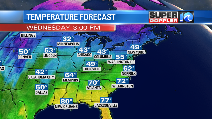
Tomorrow it will be pretty nice out. We’ll be mostly sunny with less wind. High temps will be in the mid-upper 50s. Then we’ll warm up even more on Wednesday. High temps will rise to the low-mid 60s.
Temps will keep warming later this week. Kind of like our local groundhog said it would….
High temps will be in the upper 60s with dry weather on Thursday. Temps could actually be in the upper 60s with a few 70s Thursday and Friday. We’ll see. Moisture will increase on Thursday. For now I only have increasing clouds with a possible stray shower, but I may have to increase the rain chances. We’ll see. Then the models are showing a lot of rain on Friday. I’ll have more details on the Friday/Saturday forecast in tomorrow’s weather blog.
In U.S. news… The blast of cold air recently was historic for some. One area that had become a brief frozen hell was Mount Washington in the Northeast. There was a wind chill there a couple of days ago that was down to minus 108 degrees. That’s crazy! Here is the article with more information: Mount Washington wind chill.
Meteorologist: Jeremy Wheeler


