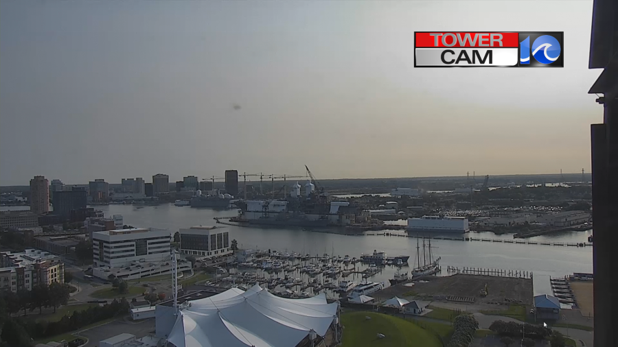
This morning started off great! We had fair skies and temps were mainly in the 60s. Looking at the local tower cams I noticed that there was a thin haze overhead.
Today is going to be a very nice mid-Summer day. We have high pressure building in from the west with a cool front to our southeast.

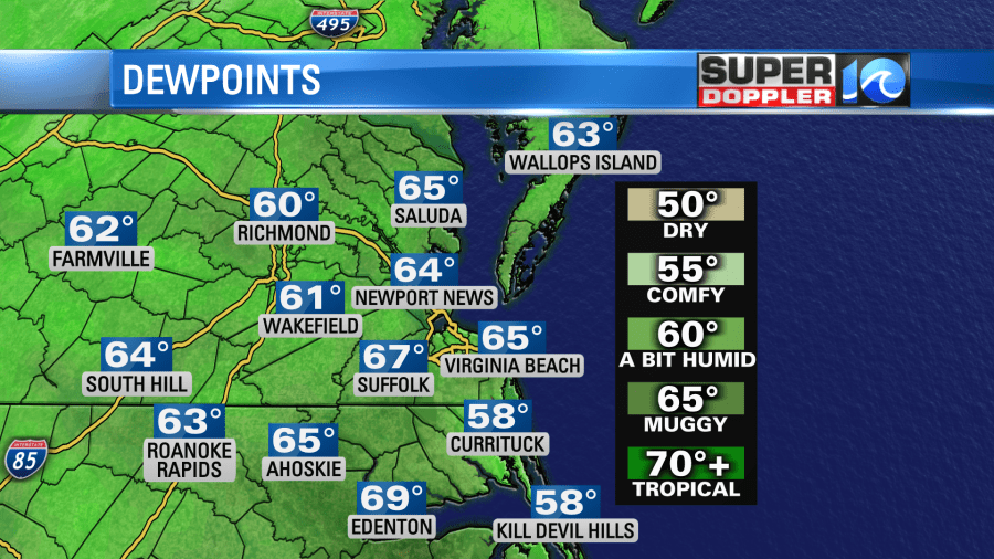
We’ll have some unseasonably dry air in place for the next 24-36 hours. Dew points have dropped to the upper 50s to low 60s. Upper 50s are numbers that we usually see in mid-late September.
There will be a thin haze up high in the atmosphere. That is still from the wildfires in central/eastern Canada. However, that haze will stay aloft. So conditions will be great at the surface. Air quality will be good to moderate.

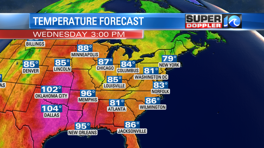
Aside from the haze we’ll be mostly to partly sunny. High temps will rise into the low 80s with some mid 80s inland.
The breeze will be steady out of the northeast at 8-12mph. It should be a very nice day! Especially with the lower humidity levels, but even the temps will be nice!
Tomorrow we’ll have similar weather, but there may be a few more clouds. High temps will be in the low-mid 80s, and humidity will stay down.

The humidity will start to go up on Friday. At the same time an upper level low will swing in from the west. This will create some scattered rain showers along with a few thunderstorms.
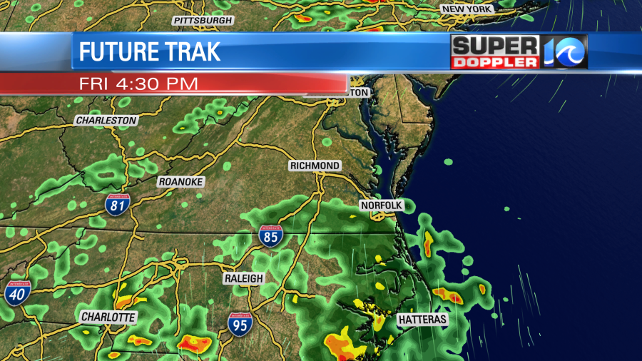
High temps will be in the mid 80s. Dew points will quickly rise into the 60s to near 70.
The weekend doesn’t look too bad, but it will be humid again. High temps will be in the 80s. We’ll have a mix of sun and clouds on Saturday with isolated showers possible. We’ll be partly cloudy on Sunday with some isolated showers. We’ll probably be back in the low 90s by early next week.
The tropical disturbance in the middle of the Atlantic now has a very low chance of formation. It will move over cooler water soon. So the window for development is closing.
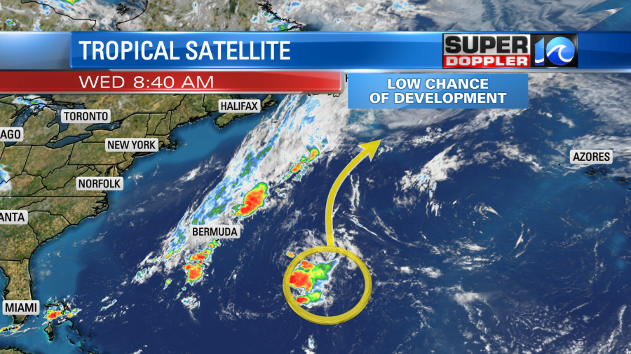
A few days ago it was up to a high chance of formation. Interesting how much the forecast has changed.
Meteorologist: Jeremy Wheeler


