Yesterday was another warm day in the region. After the clouds and showers in the morning and midday our skies cleared. So high temps made it into the mid-upper 70s.
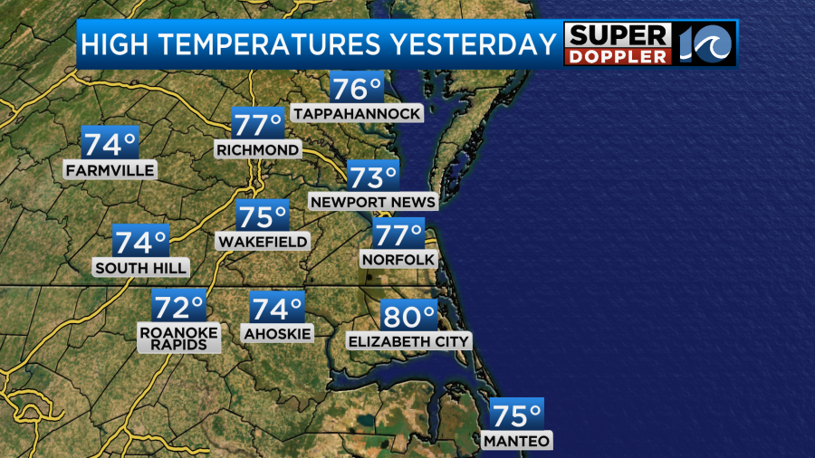
It even hit 80 in Elizabeth City. This was all well above the average but it wasn’t close to the record. A cool front has dropped to our south since then, but another fast-moving cold front is swiping through the region. High pressure is building in from the northwest.

We’ll have northerly winds picking up behind the front. They will gust up to 25mph at times.
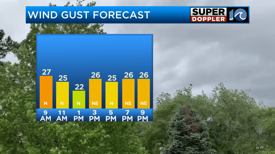
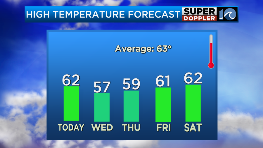
There may be a few gusts to 30mph near the shore. This will keep high temps in the low 60s this afternoon.

There will be a lot of sunshine through the day.
The wind will stay up this evening and tonight. Gusts will be between 20 to 25mph.
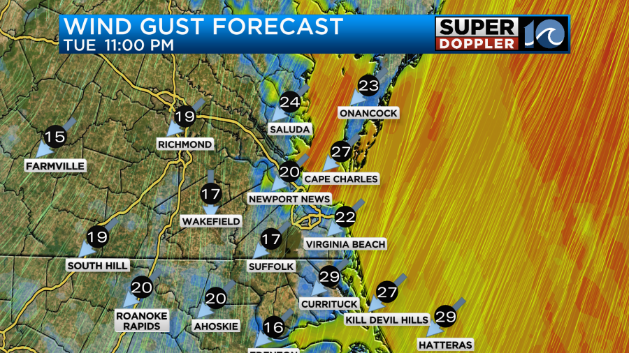
Tomorrow high pressure will keep building into the region. We’ll have lots of sunshine again, but the breeze will stay up out of the northeast. Gusts will be to 20mph. That will suppress the temperatures. So highs will only be in the mid-upper 50s.
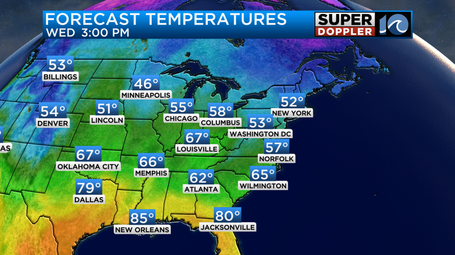
This will be some of the coolest high temps that we’ll have had since last April. Wow!
By Thursday the moisture will start pushing into the area ahead of the next system. We’ll have increasing clouds during the day. Then we’ll have some scattered rain showers move in.

This will probably happen in the afternoon, and then it looks like rain will increase by the evening and overnight. The rain may continue through Friday morning. Then we will dry out for the weekend. High temps will be in the upper 50s on Thursday. Then we’ll be in the low 60s.
As far as the tropics go… We are watching a tropical disturbance in the Caribbean Sea.

This cluster of thunderstorms has a high chance of formation over the next 3-5 days as it drifts slowly to the west/northwest. We’ll bring you the updates.
Meteorologist: Jeremy Wheeler


