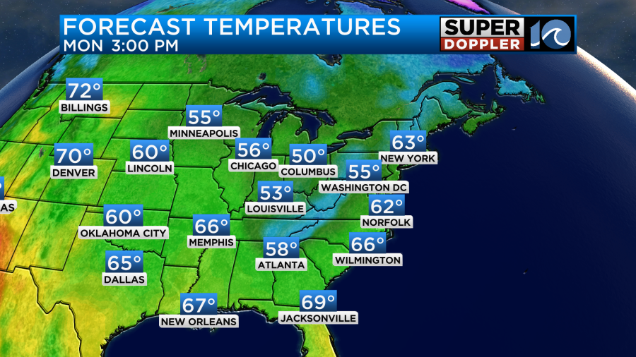
We had some nice Fall weather yesterday in the region. The sun eventually popped out, but it stayed pretty cool. High temps were in the low-mid 60s. We’ll have similar weather today. It will stay cool this week with just a little bit of warming each day.
Today high pressure is to our west with a big area of low pressure over Nova Scotia.
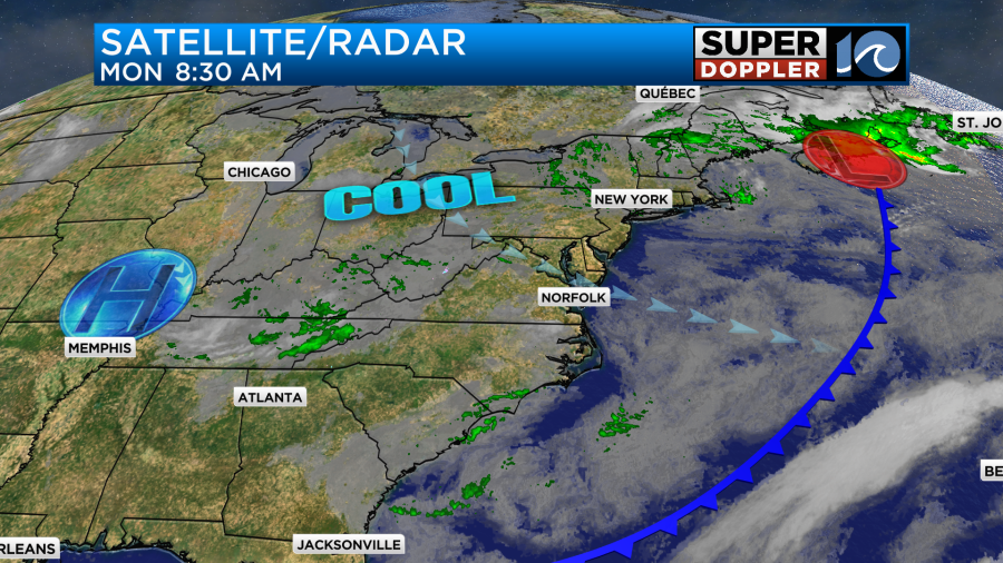
There is an upper-level low centered to our north near New York State. It is within a much larger dip in the jetstream that lies over the eastern U.S. So today this will create a mix of sun and clouds for us with a few sprinkles or a stray shower possible. It’s pretty dry at the surface. So I don’t expect anything more than that. High temps will stay in the low-mid 60s.
Winds will be steady out of the northwest at 10-15mph.
Tomorrow we’ll have a mix of sun and clouds with some isolated showers or sprinkles. We’ll have a pretty similar setup to today. High temps will be in the mid 60s.
We’ll steadily warm up a little bit each day. High temps will return to the low 70s by Thursday and Friday.
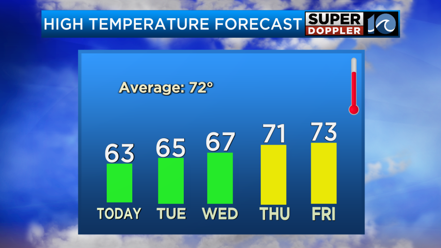
We’ll have pretty quiet weather through Thursday with dry weather most of the time, but the deeper moisture will push back in by Friday. The long-range models show a lot of rain moving in by that day. This will be ahead of a cold front. I’m hoping the rain will end by Saturday morning, but we’ll see. I’ll have more on that in tomorrow’s weather blog.
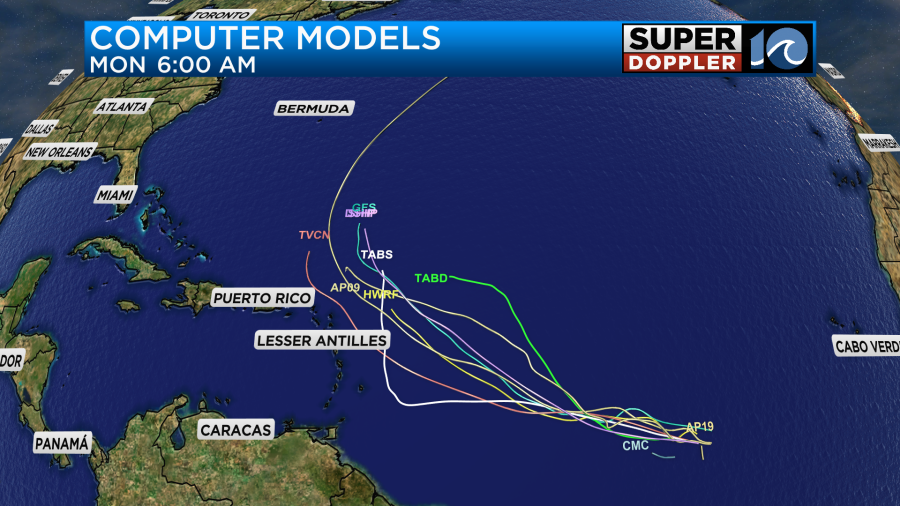
There’s not much happening in the tropics at the moment, but Sean did just wrap up last night as a tropical system. Now we are keeping an eye on another tropical disturbance in the eastern Atlantic. It is moving to the west. It has a high chance of formation over the next few days.
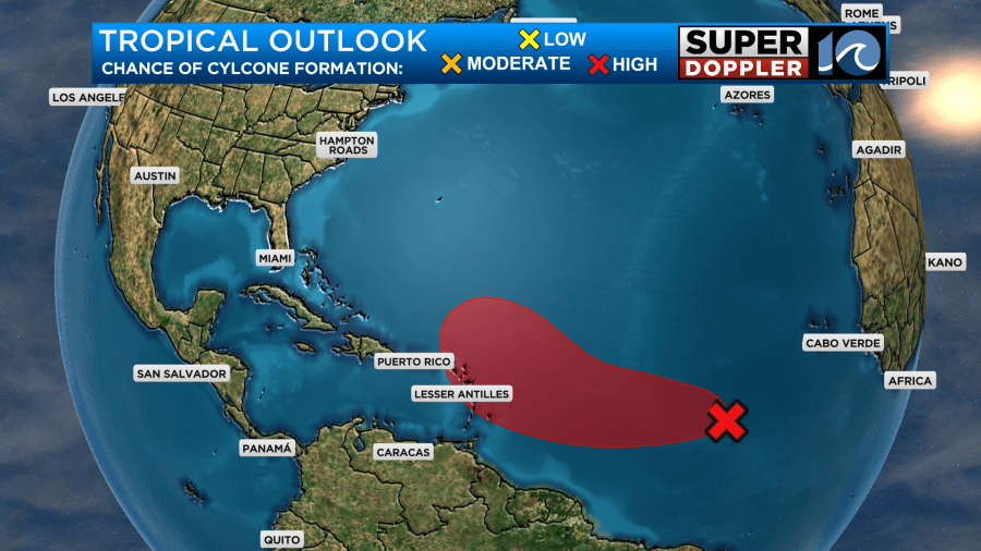
Many of the models have it moving west towards the Lesser Antilles, but the latest trend has many of the models hooking the feature to the north in a few days.
We have plenty of time for updates.
Meteorologist: Jeremy Wheeler