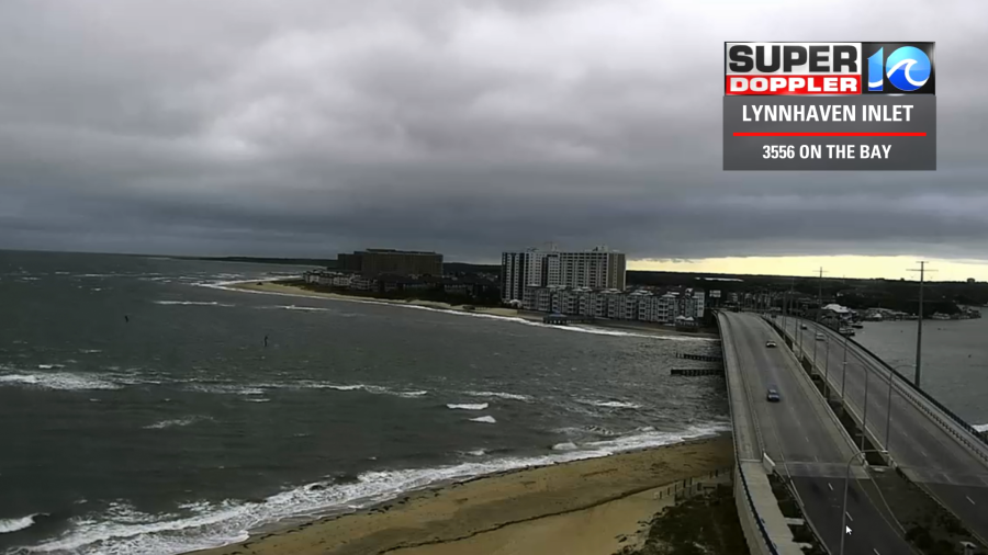
It was a rough start to this Sunday. We had clouds, drizzle, and a strong breeze.
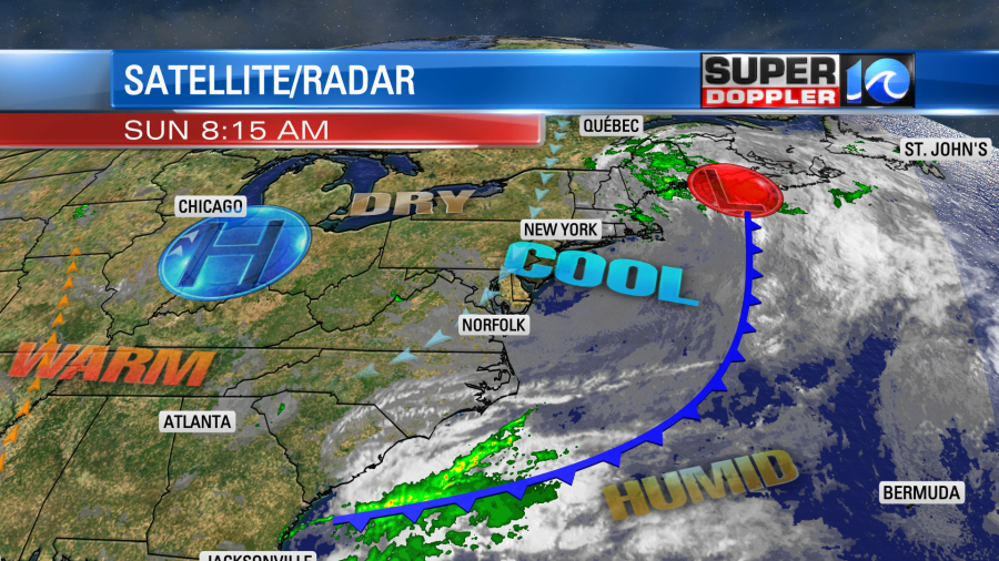
A cold front was dropping to our south with high pressure edging closer from the northwest.
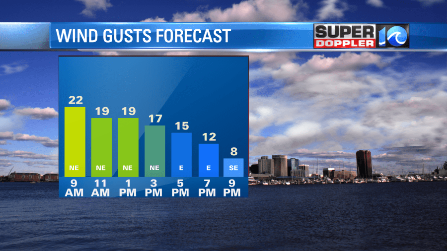
As high pressure gets a little closer, we’ll have clearing skies today. We’ll be mostly to partly sunny by the afternoon. The problem is that the winds will stay strong through at least the early afternoon.
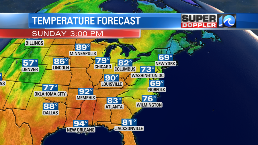
That will keep the temperatures down again. We’ll only rise to the upper 60s this afternoon with some low-mid 70s inland.
Tonight we’ll have less wind and mostly clear skies, but that might not be a good thing. Low temps will drop down to the low-mid 50s. There may even be a few upper 40s inland. That is definitely chilly for this time of year. The good news is that tomorrow and Tuesday we will warm up. We’ll have high pressure build in closer to the area on Monday. This will provide us with lots of sun and less wind. So temps will be able to warm up quite a bit. We’ll rise to the mid 70s with a few warmer temps inland.
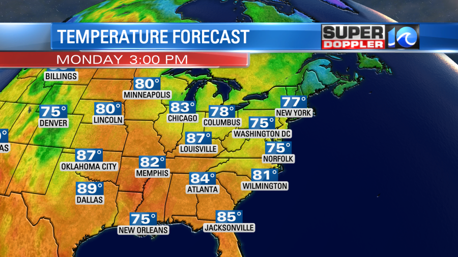
Keep in mind that it will be a big rise in temps from morning to the afternoon. So it will be a good day to dress in layers. Winds will be light and out of the north. Then, on Tuesday we’ll have more of a west wind with fair skies. High temps will be able to reach the low 80s.
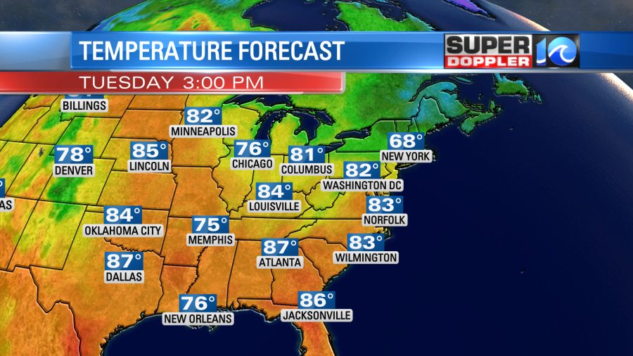
We’ll be dry most of the day, but some spotty showers may arrive late ahead of a cold front. Yep! Another cold front….
Luckily this time we won’t cool down too much. We’ll aim for the mid 70s Wednesday and Thursday. There may be some more scattered rain showers towards Thursday and Friday. I’ll talk more about that in tomorrow’s weather blog.
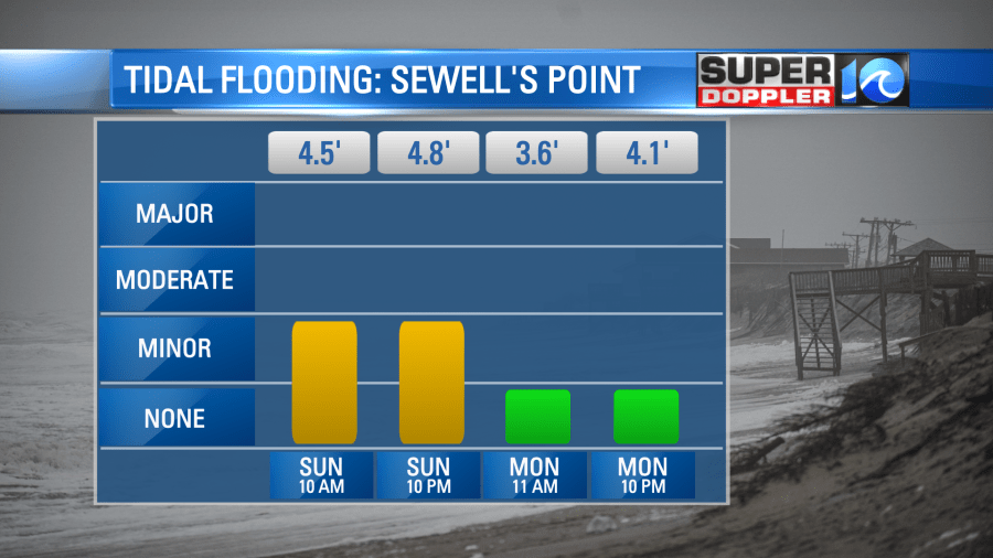
There will be some nuisance to minor tidal flooding today. It shouldn’t pose too much of a problem.
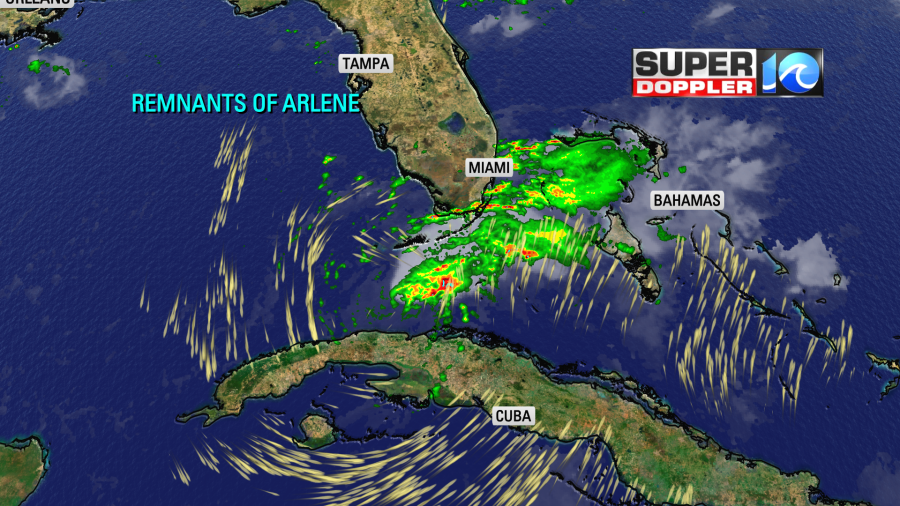
The tropics are quiet again. There are no systems expected in the Atlantic for at least the next 48 hours. The remnants of Arlene are bringing some rain showers to parts of Cuba and southern Florida. It is now just a stretched out line of lower pressure.
Meteorologist: Jeremy Wheeler


