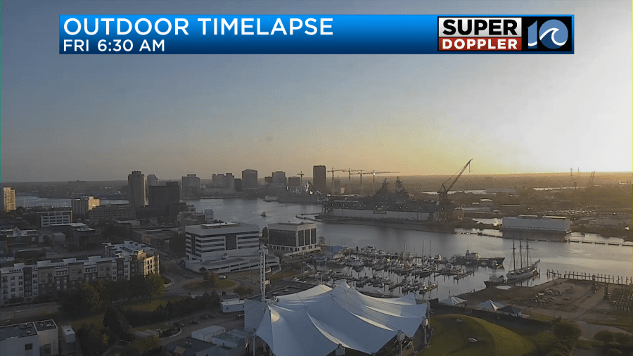
As the clouds rolled in yesterday and the winds picked up we had some chilly temps blow into the area. Temps were pretty much stuck in the 50s Thursday with some 60s inland. Today we are at least going to have a good amount of sunshine.
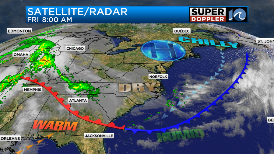
However, we still have a cool northeast wind. High pressure is to our north. We have a cold front stalling out to our south.
Winds will blow at 10-15mph with a few gusts to 20mph near the shore. It won’t be as windy as yesterday. So that should help us warm up a little bit. We’ll be near 60 in the metro with mid 60s inland.
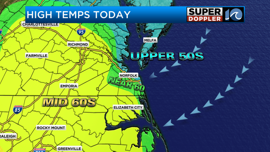
Keep in mind there will still be some upper 50s near the shore. The sunshine will make it a decent day, but we will still be seasonably cool. Average highs this time of year are in the low 70s.
Tomorrow there won’t be much wind, but the clouds will increase. We’ll be partly to mostly cloudy all day. There may even be a sprinkle or two during the day. However, there may be some isolated showers during the evening. We’ll have a light southeast wind until the evening. That’s when a warm front will move through. During the day we’ll only top off in the mid 60s with some upper 60s in a few inland locations.
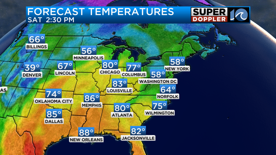
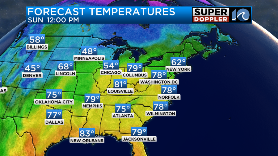
After the warm front moves to our north we will warm up big-time. Sunday’s high temps will be in the upper 70s to near 80 degrees.
We’ll have partly sunny skies. It should be a great day! Keep in mind that the water temps are still in the upper 50s to near 60.
We’ll be even warmer next week. High temps will be mainly in the 80s.
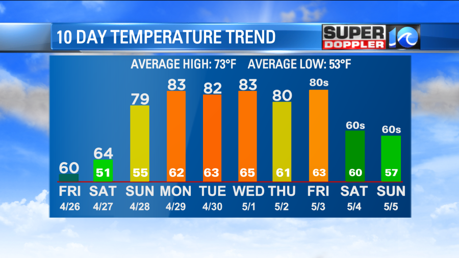
It doesn’t look like we’ll see much rain over the next few days. There’s a slight chance Tuesday and Wednesday. It looks like there is a little better chance next Thursday. Have a good weekend!
Meteorologist: Jeremy Wheeler