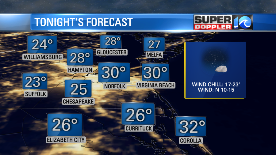
Over the next 36 hours it is going to feel more like winter than like spring. This morning, for instance, temperatures were in the 20s and 30s. Folks were warned over the last couple of days that we would have freezing temps in the region. So hopefully they brought in the potted plants like I did. If you didn’t then tonight may be more important to do that. Low temps will drop to the 20s again with temps near 30 along the shore.
Cover the outdoor plants that are blooming with a tarp or some mulch. Luckily this will be temporary. We’ll have a big warmup in a couple of days.
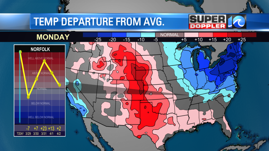
However, in the short-term there is some unseasonably cold air in the East and the Northeast while there is some much warmer air in the central U.S.
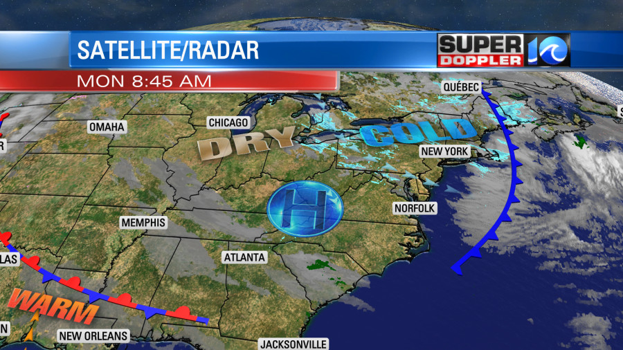
A second cold front moved through our area yesterday. Now it is to our south. High pressure is building in from the west.
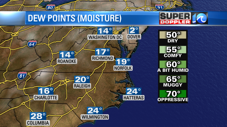
We’ll have the wind picking up out of the west-northwest today. Gusts will be up to 25mph. This will be a dry and chilly wind. So high temps will only rise to the low 50s. It will only be in the upper 40s north of the metro. The dew points (surface moisture) are only in the teens and 20s today. That is some bone-dry air for this time of year!
However, we will be on the southwest edge of an upper level low and a little mid-level moisture. So there may be a couple of sprinkles or flurries this afternoon on the Eastern Shore and Northern Neck.

This will probably evaporate before it hits the ground. That is basically Virga.
As mentioned, we’ll be cold and dry tonight with mostly clear skies. Then tomorrow we’ll be in the middle of that chill. So high temps will only be in the upper 40s to near 50 despite mostly sunny skies. Winds will be out of the north.
We’ll warm up by Wednesday into the 60s. It will be a nice day with partly cloudy skies. Then even warmer temps move in by Thursday. Highs will be in the mid-upper 70s. We’ll have increasing clouds with a few afternoon showers and possibly some thunderstorms. It will be breezy or even windy. Rain showers and a few storms will continue into Thursday night. Then we’ll dry out on Friday.
I’ll have more details about the weather going into the weekend in tomorrow’s weather blog.
Meteorologist: Jeremy Wheeler