Over the last few days, it seemed like there has been some invisible force field from Portsmouth to Northern Virginia Beach up to Hampton and Cape Charles. This fake force field has kept the rain showers dancing around our region despite scattered storms in the forecast. Take yesterday. We had a few storms popping up during the afternoon. There were even a few heavy showers.
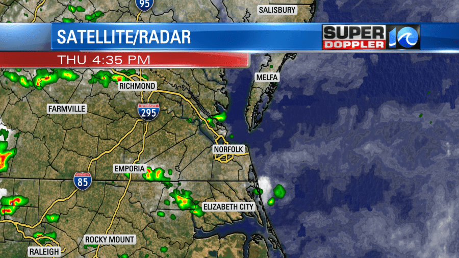
A lot of them fell apart. Then we had a few more form in the evening. Eventually we had more scattered showers and storms last night.
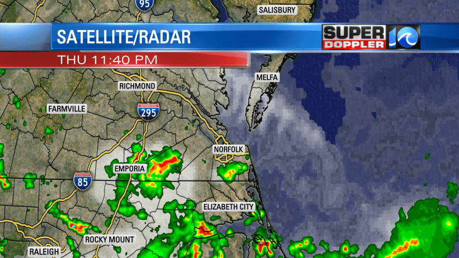
Again they danced around that bubble. A cool front had actually sunk into the region, and now it has stalled out just to our south.
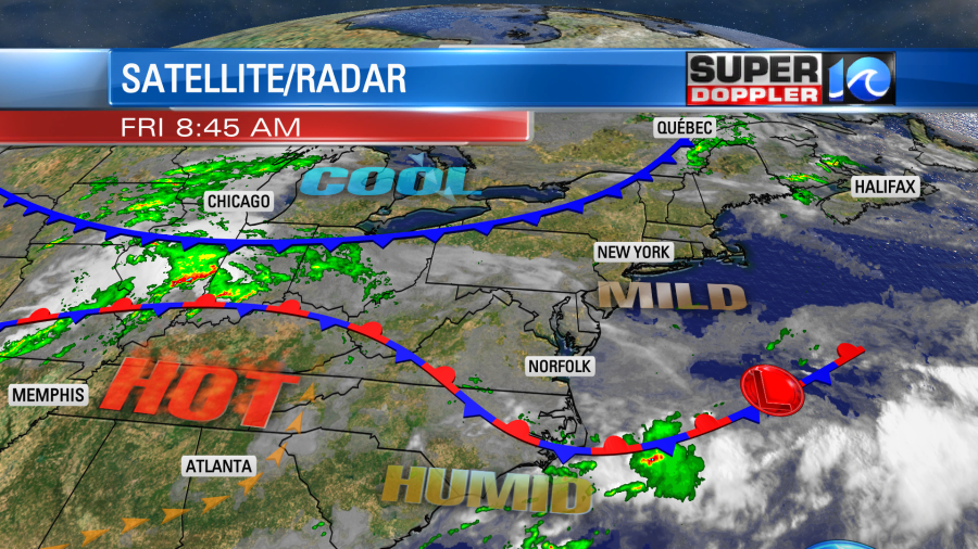
Keep your eye on that cool front that is up around the Great Lakes as that will play a part in our forecast this weekend.
We’ll be just a couple of degrees cooler than yesterday, but it will still be humid. So high temps will be in the mid-upper 80s with a couple of 90s inland. However, the heat index will still be in the mid-upper 90s. It will be a little cooler near the shore as the breeze will be light and out of the northeast. We will have a few showers and storms popping up between the midday and the late afternoon. However, the chance is not huge.
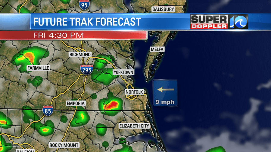
We’ll have a few more showers and storms during the evening. They will be isolated to scattered. There could be some (isolated) downpours.
Tomorrow that cool front that I mentioned will drop down to the south. At the same time the stationary front will slowly rise north as a warm front. Eventually the stronger cool front will win as it sinks south. This combo will bring us more clouds and a higher chance for rain Saturday afternoon. We’ll have scattered showers and storms over the area. There could be a couple of strong storms in the region.
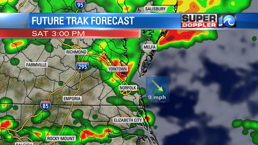
High temps are tricky tomorrow. If we get the sun popping out, then we could rise up to the upper 80s to near 90. If we cloud up like I think we will, then we’ll only make it to the mid 80s. It will still be pretty muggy either way. However, we’ll cool down and gradually dry out on Sunday. After a few showers in the morning we’ll dry out in the afternoon. High temps will be in the low 80s. It should become pretty nice out. We should have some clearing as well.
We’ll be dry and mild on Monday with high temps near 80 degrees. Then we’ll heat up Tuesday into Wednesday. Highs will be near 90 degrees.
Meteorologist: Jeremy Wheeler
