Finally! We’re breaking the streak of rain on the weekends and we’ll be able to enjoy warm sunshine all. weekend. long.
We’ve been stuck in a pattern that’s featured one weather system a week, and unfortunately, that’s just happen to fall on the weekend. So every weekend this month has featured rain of sorts… but not this weekend!

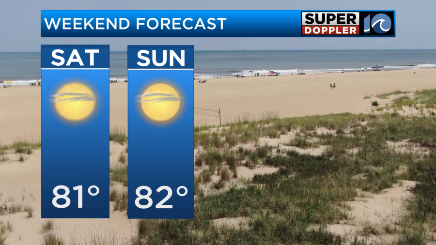
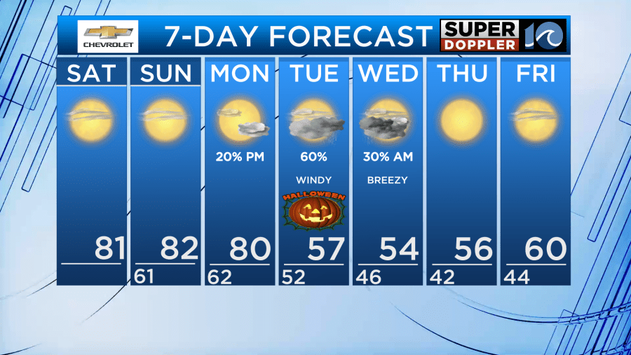
The nice, warm late October sunshine is hanging on for a few more days. Expect highs in the upper 70s and low 80s under bright blue skies for both Saturday and Sunday. In fact, the warm weather and sunshine holds into the majority of Monday as well.
But here’s when the changes move in – Monday night into Tuesday a big cold front drops into the region. As of now, expect increasing clouds Monday evening with some showers developing overnight. Tuesday will be mostly clouds with scattered showers around the region as the front slowly drifts south.
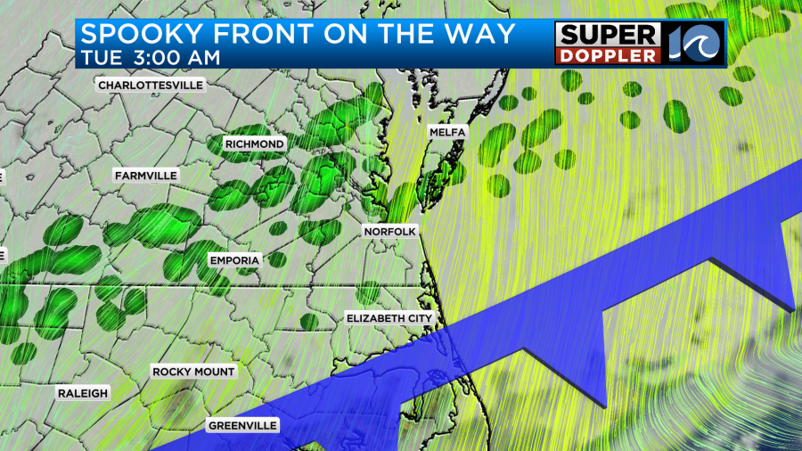
A spooky, brisk wind will also blast into the region and will help drop our temperatures big time. We’re looking out for a 20°+ temperature drop from Monday into Tuesday – highs will go from near 80° Monday to barely at 60° Tuesday.

Keep an eye on this Halloween forecast as the timing of the rainfall is still subject to change – don’t expect a washout from start to finish, but prepare for rain around for those trick-or-treating plans.
The cold air will sink into Hampton Roads as we progress into the upcoming workweek – highs will be in the 50s(!) as the November sunshine slowly crawls out.
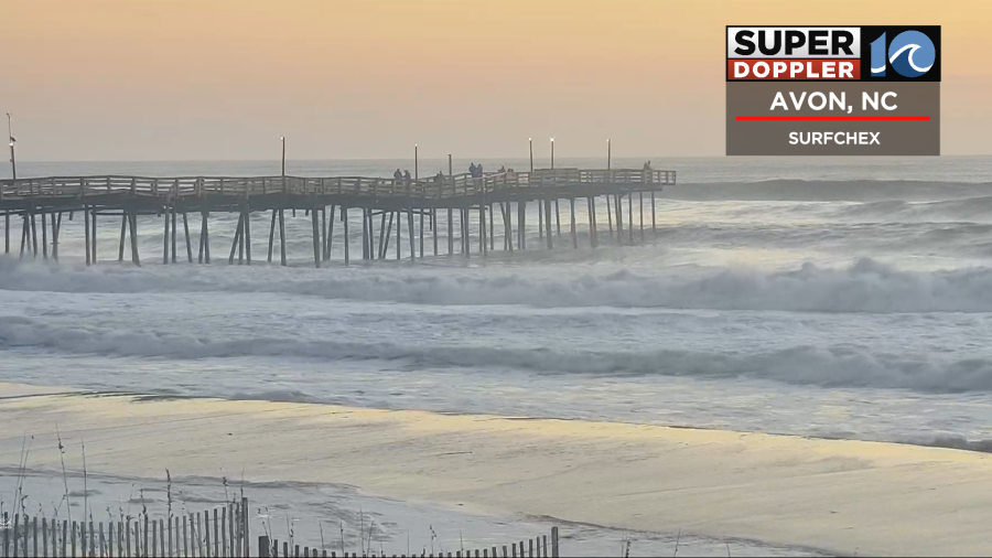
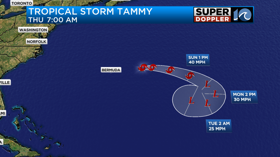
Tropically, Tropical Storm Tammy is still alive east of Bermuda. The storm system is sending a swell to our coastline so the surf is up! Rough surf and seas are likely to continue through Sunday. Tammy will drift east this weekend, then potentially loop back west by early next week. The system is expected to remain in the Atlantic long term.
Enjoy the sunshine and warmth this weekend before that chilly air blasts in next week!
Meteorologist Steve Fundaro


