We are in the middle of some wild temperatures swings. At this point I think some folks are asking to get off of the roller coaster. Temps will settle down soon, but we have a little more track to go on before we get there.
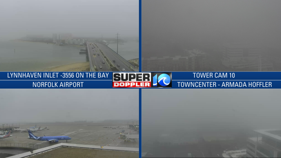
Yesterday we were chilly. Temperatures were stuck in the 40s through the day. It was wet, dreary, and chilly. That damp air mass hung around through this morning. So we started the day with clouds, fog, and drizzle.
A warm front was slowly moving up from the south.
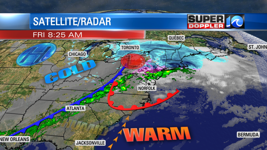
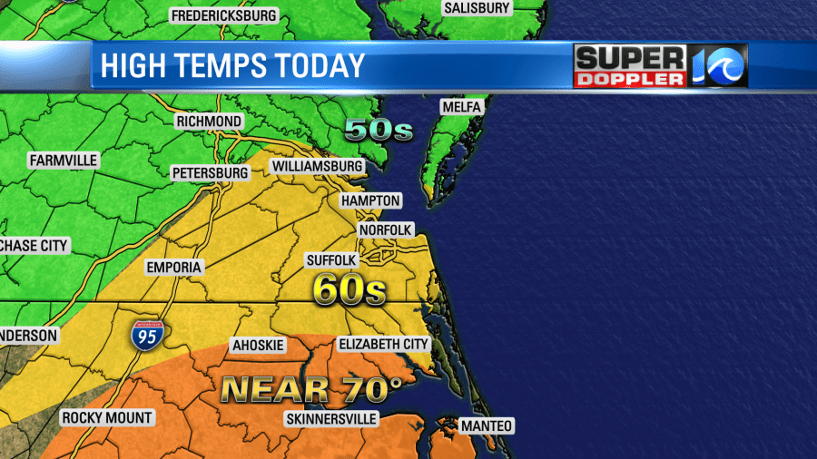
There is a strong cold front to our west. It’s a guarantee that we’ll warm up today compared to yesterday. However, the amount of warming that we will get will depend on where the warm front lands. For now I’m calling for highs in the 60s for the metro and the surrounding cities. We’ll get close to 70 degrees from Elizabeth City southward. There will be some mid-upper 50s north of the metro.
We’ll have lots of clouds with pockets of drizzle and some spotty showers through midday. Then the isolated showers will drop down into North Carolina with the cold front this afternoon. Hampton Roads will dry out later today. Temps will drop late this afternoon into the evening. We’ll quickly fall to the 50s. Then we’ll drop to the upper 30s to near 40 degrees during the overnight. Skies will be partly cloudy.
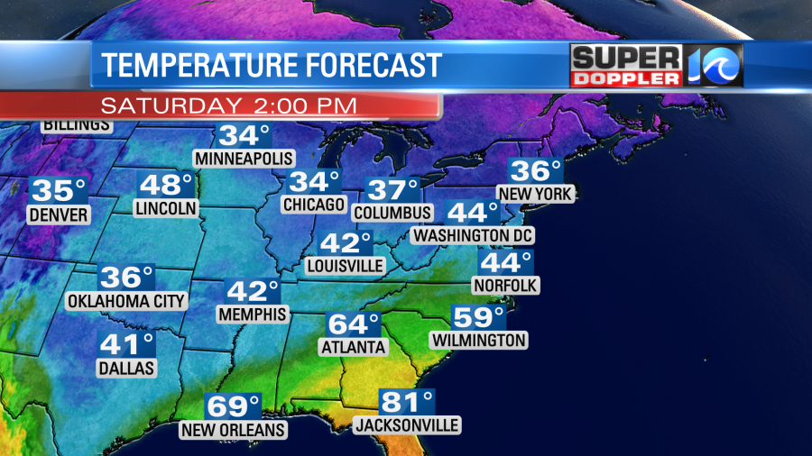
Tomorrow we’ll be on the cold side of the front. High pressure will edge closer to the area, but it won’t build in. So we’ll have partly to mostly cloudy skies with chilly temps. Highs will only be in the 40s again.
We’ll have a mix of sun and clouds through the day with a north breeze. The forecast for Sunday is still a little tricky, but the theme is set. A weak area of low pressure will pass to our south. It will push some moisture northward. We’ll have a few rain showers in southeast Virginia with a higher chance for rain over northeast North Carolina. The problem is that the models disagree on how close the low gets and how far north the moisture pushes. The Euro keeps the bulk of the rain to the south, but the GFS has rain reaching as far north as Maryland.
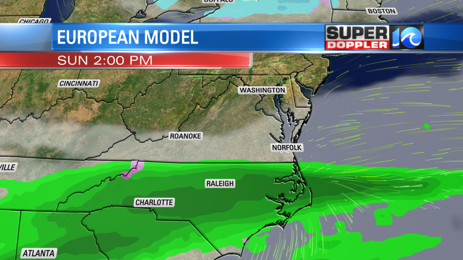

So I’m holding a low chance for showers over southeast Virginia with a higher chance over North Carolina. Stay tuned for updates.
Next week we’ll have some steadier, warmer, and drier weather. High temps will be in the 40s. We’ll slowly tick up to the low 60s by Thursday.
Meteorologist: Jeremy Wheeler


