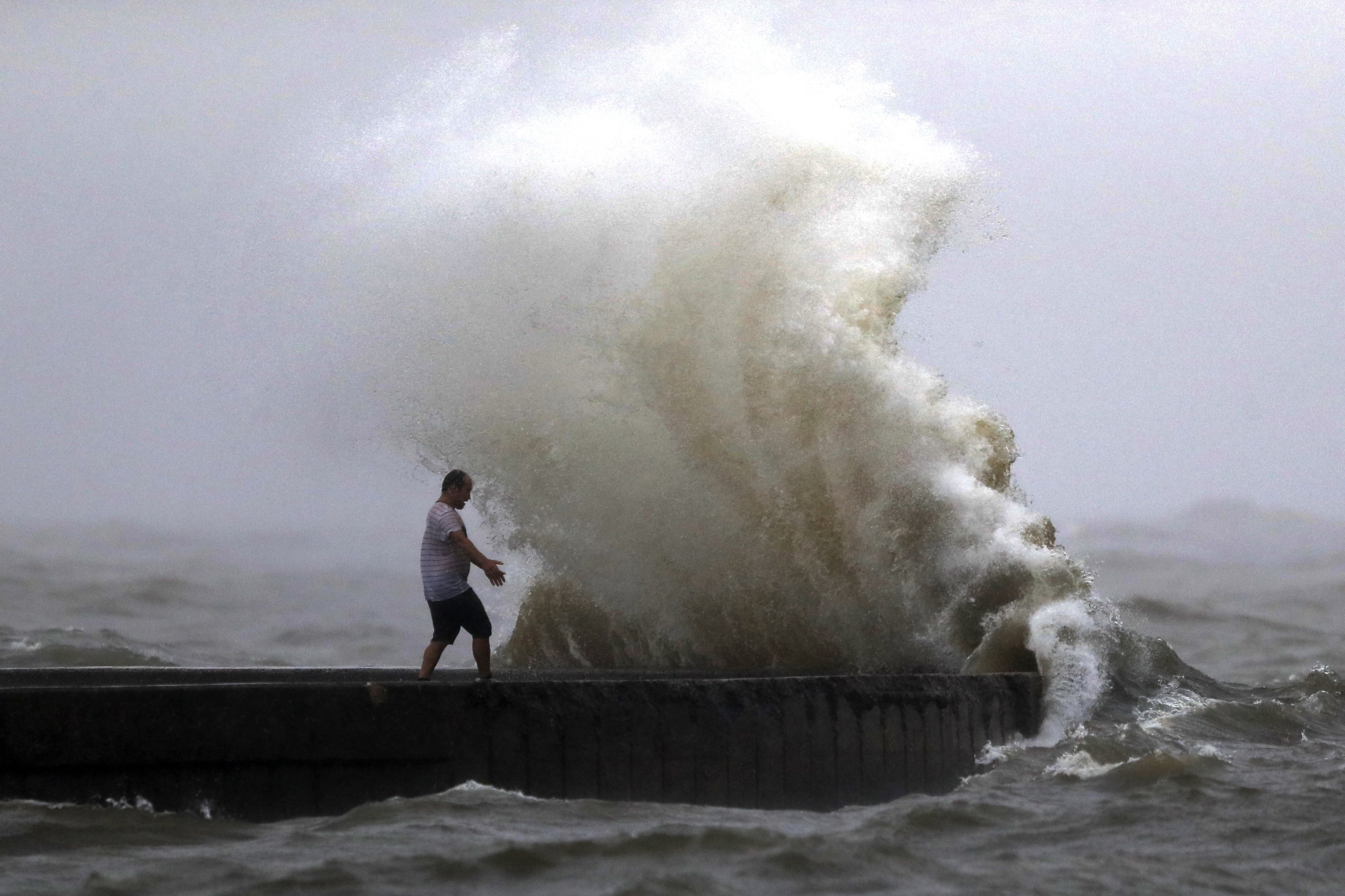
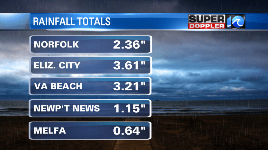
Yesterday was a cool, soggy, and breezy day. It was actually kind of nice when the rain let up. Temps were only in the upper 60s to low 70s most of the day. So it was a nice break from the heat. However, it was very wet. We had about 2-4″ of rain over parts of northeast North Carolina. I didn’t see reports of flooding down there, but there was some standing water over the region. We had about 1-3″ over Hampton Roads.
The system that was overhead yesterday has moved out. The area of low pressure has moved to the northeast. The stationary front has drifted east.
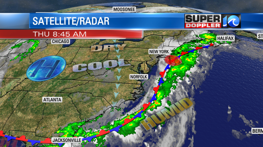
High pressure is edging a little closer to us. We started off with some clouds and isolated showers in the area, but clouds were already breaking up by 8 a.m.
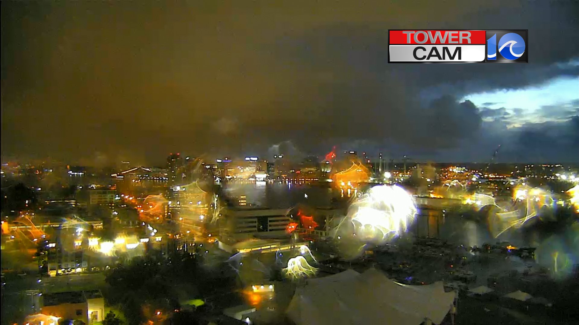
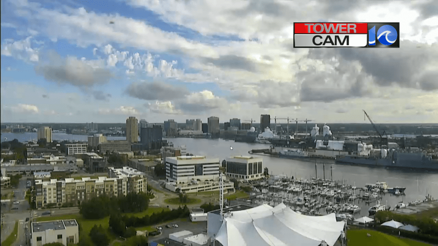
We’ll have partly cloudy skies today. There may be a stray shower or two in the region, but for the most part it will be a nice day. We’ll have a north/northeast wind at 8-12mph. High temps will rise to the low 80s with a few low-mid 80s inland and some upper 70s north of the metro. We’ll have quiet weather tomorrow as the front sits offshore. Highs will be in the 80s. However, the front will slide back east on Saturday. This will increase the clouds, and it will produce some scattered showers and storms over the area.
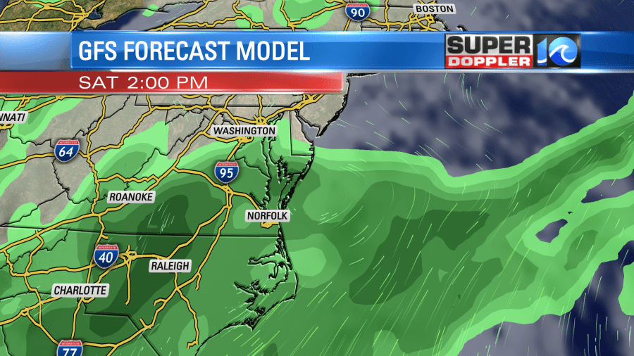
If the GFS is right, then heavy rain may even be possible again. The European model only has some isolated to scattered showers. Either way the good news is that this system will finally move out on Sunday. After some isolated showers in the morning we’ll dry out through the day. Then we’ll be drier and hotter early next week.
The National Oceanic and Atmospheric Administration’s (NOAA) Climate Prediction Center just updated their forecast for the 2021 hurricane season. It increased the number of storms and hurricanes by a little bit. Here was the earlier forecast:
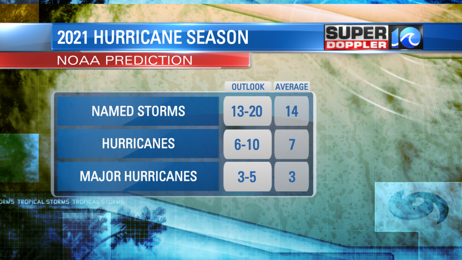
Now the number is up to 15-21 named storms, 7-10 hurricanes, and possibly 3-5 major. This includes the 5 systems that we have already had. This is just in time for things to pick up again. There are 2 tropical disturbances in the Atlantic.
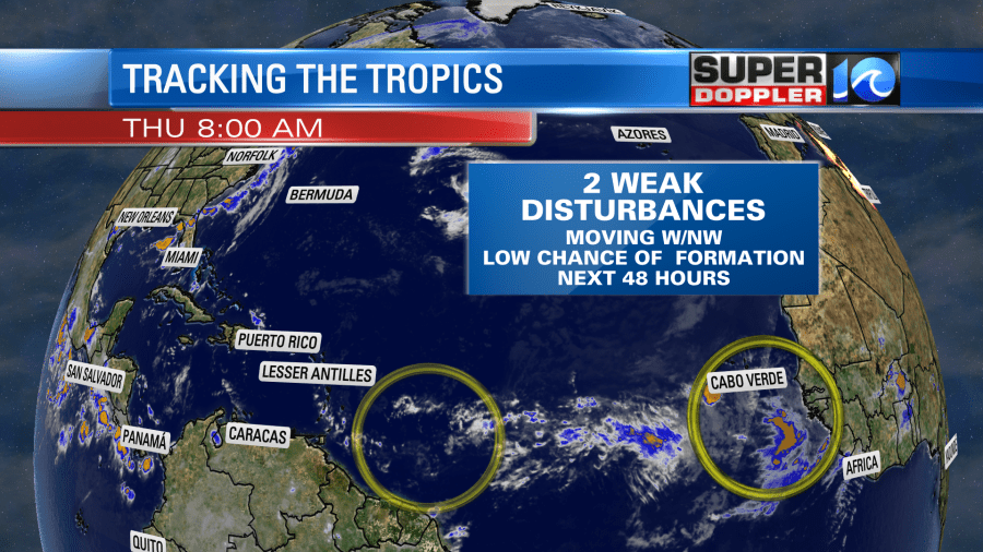
They are both moving to the west/northwest. They both have a low chance of formation over the next couple of days. However, the one in the eastern Atlantic has a moderate chance of formation within the next 5-7 days. So that could be our next system in the short-term. Stay tuned for updates.
Meteorologist: Jeremy Wheeler
