As advertised this weekend was a half-and-half weekend. Saturday was great with partly cloudy skies and highs in the 60s. Then yesterday we had lots of rain through the day. It was a nice soaking rain that was actually pretty needed. Though the timing wasn’t great!
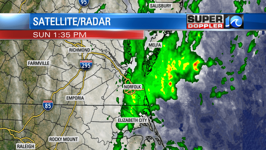
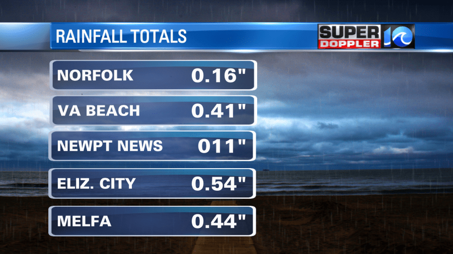
The area picked up various about a tenth of an inch up to 4 tenths of an inch of rain.
There was an offshore low that was the main cause for the rain. It is going to sit offshore again today. However, a little drier air has wrapped up into the system. Plus, high pressure has gotten just a little closer to us since yesterday.
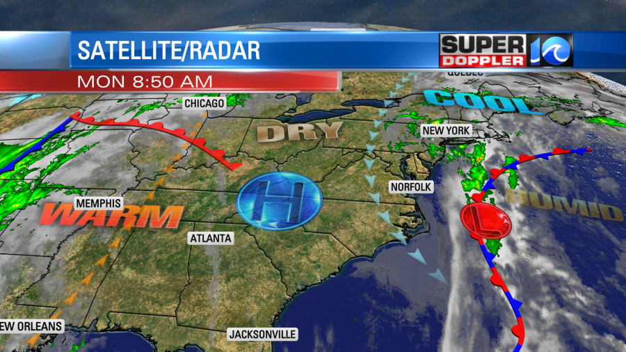
The low is also weakening a bit. So the wind won’t be as strong as yesterday, and we won’t have nearly as much rain. We will still have lots of clouds today, but the sun should pop out a little this afternoon. We had a lot of drizzle this morning over the area. We’ll have some patchy drizzle today, but it won’t last all day. There will be a little this morning, and then it will probably return by the early evening. High temps will stay below average. They will run in the mid 60s this afternoon.
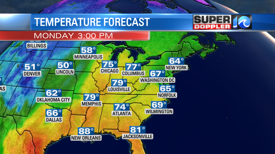
This will continue a long streak of cooler temperatures.
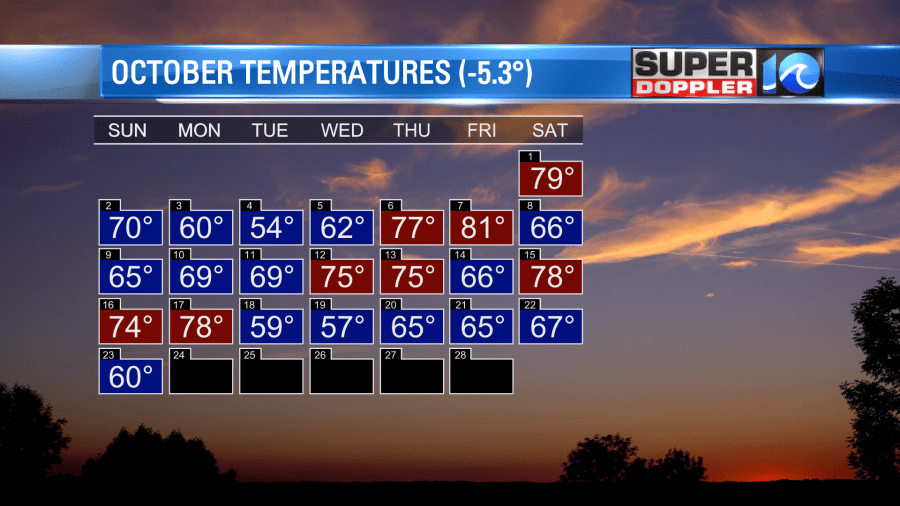
Tomorrow won’t be an exact repeat, but it will be close. The offshore low will continue to weaken, but it will still push a good amount of moisture to the west. So we’ll be mostly cloudy Tuesday with some more drizzle and isolated rain showers.
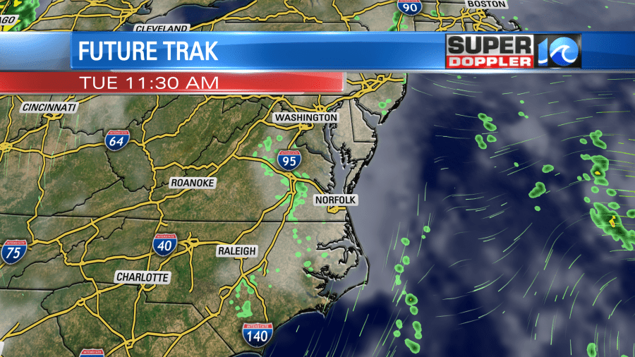
High temps will be in the 60s.
The models have been a little wishy-washy as to the Wednesday through Friday time-frame. For now the latest models have some drier and milder weather for Wednesday and Thursday with highs in the 70s. Then they have a couple more areas of low pressure forming over the ocean and staying offshore towards next weekend. One difference with these future systems will be that they could be tropical in nature. The latest weather outlook has them with a low chance of formation, but it is also more of a low chance of becoming tropical.
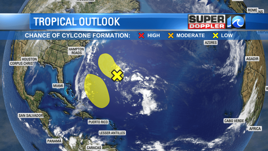
We’ll have updates on that in tomorrow’s weather blog.
Meteorologist: Jeremy Wheeler


