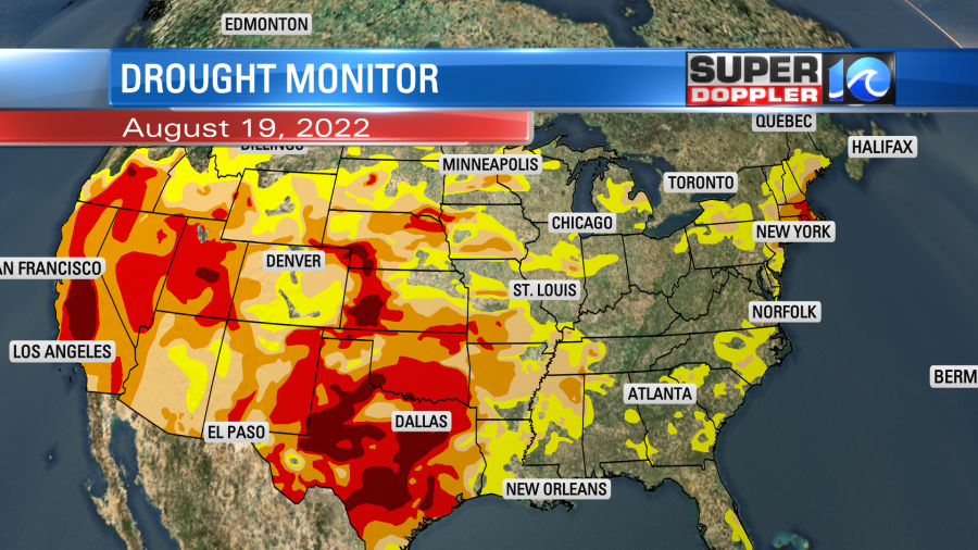
We are going to have one more nice day before some rain moves in this weekend. Some of the area still needs rain, but there are locations that are doing pretty good. Here is the latest update from the U.S. Drought monitor.

Of course it’s much worse over the western half of the country, but at least there’s been some short-term relief over parts of the Southwest.
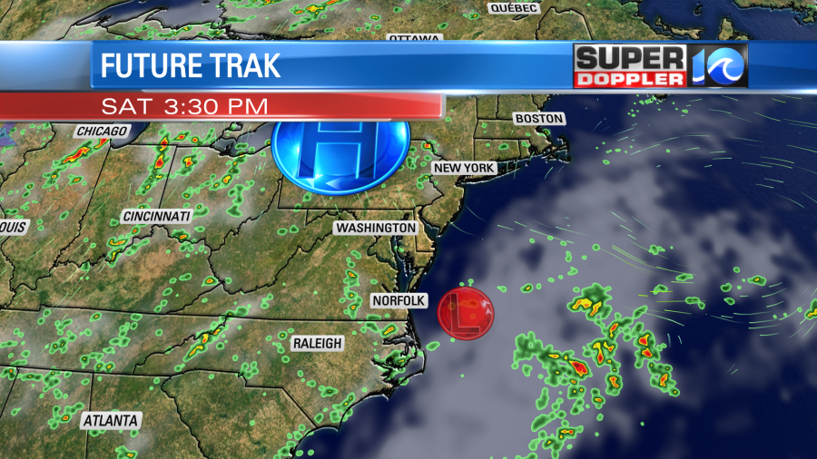
Today we have high pressure just to our north with a developing warm front to our south.

There is a weak area of low pressure along the front. These will both move north though the day, but they won’t get close to us until late tonight.
So today we are looking pretty good. We’ll be partly cloudy most of the day with a little more clouds over northeast North Carolina up to the state line. High temps will rise to the mid 80s. The humidity still isn’t too bad. We’ll have a light southeast wind.
By early tomorrow morning (before dawn) some scattered rain showers will enter the region. The front will be sliding up from the south. There may be some thunderstorms and heavy downpours for a time.
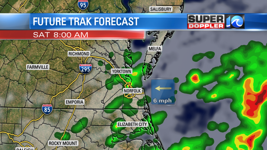
Through the day the area of low pressure should drift east out to sea.
So the rain showers should decrease and move to the southwest as we go into the afternoon. At least that’s what some of the models are showing. Then we’ll have pretty quiet weather late Saturday into Sunday morning. Maybe just some spotty showers. We’ll have fairly quiet weather for a while on Sunday. There may just be some isolated showers up through the mid afternoon. However, scattered showers will move in from the southwest by the early evening.
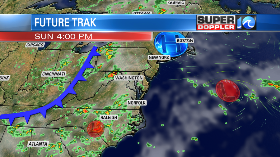
It’s possible that they could arrive a little early. So check back for updates on that. We’ll have 2 fronts in the region Sunday night into Monday. So there is a pretty high chance for more rain. There could be some scattered storms as well.
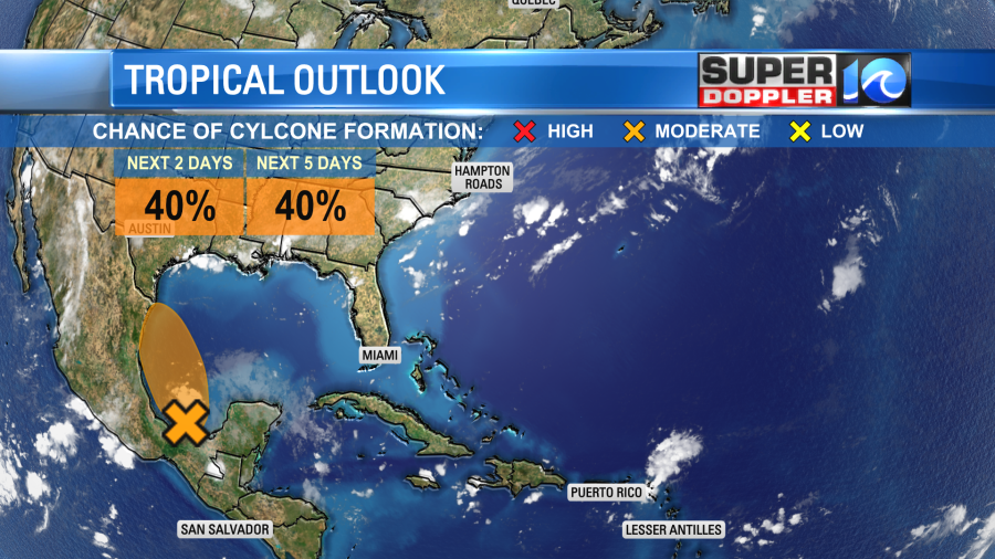
There hasn’t been any big changes in the tropics. There is a still a tropical disturbance in the western Bay of Campeche that has a medium chance of formation. It could impact eastern Mexico with some heavy downpours over the next few days.
Stay tuned for updates on the weather over the weekend.
Meteorologist: Jeremy Wheeler