Yesterday we broke the record high temperature. Norfolk International hit 93 degrees, and this broke the old record of 92 set back in 1892. There were some showers and storms in the evening, but this was not along a cold front.
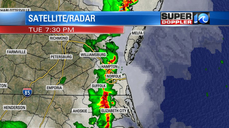
Despite a lack of a boundary some of the storms became severe yesterday evening. There were numerous reports of wind damage over the region.

These were mainly from tree limbs and trees falling down. We picked up about a quarter to a half an inch of rainfall.
Today we will have a boundary moving into the region, but it won’t happen until later in the day. Unlike yesterday we will have quite a bit of clouds in the region. It will be a mix of sun and clouds for a while. Then clouds will increase this afternoon ahead of the cold front.
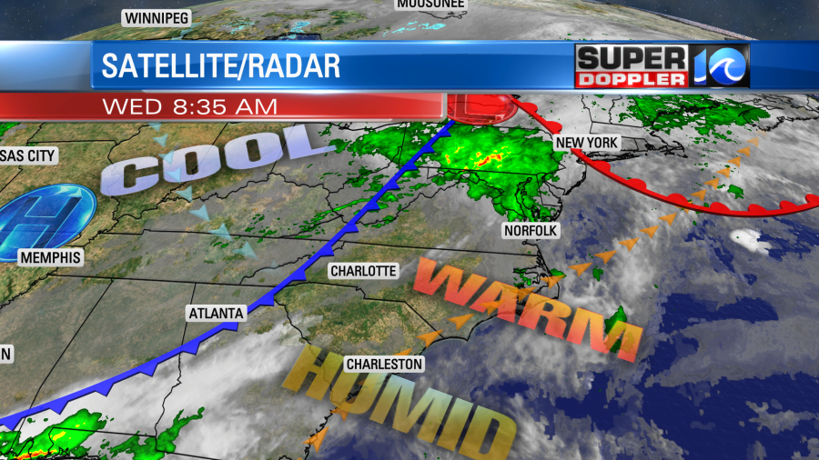
Scattered showers and storms will fire up ahead of the front. It will be pretty warm and humid as high temps hit the mid-upper 80s. So there will be plenty of fuel for the storms. This is most likely from the late afternoon into the early evening hours.
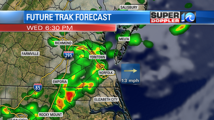
The timing of the rain and storms could change a little. So check your WAVY weather app for updates during the day. Some of the storms could be strong to severe. Strong gusty winds and brief heavy rain will be the main threats. Isolated large hail will be possible. We have a marginal risk for severe weather, but it covers the entire viewing area.
By later this evening the dry air will drop down into our area. The rain will push out by the later evening. Then we’ll have clearing skies overnight. Before it wraps up we could get about a quarter to a half an inch of rainfall.
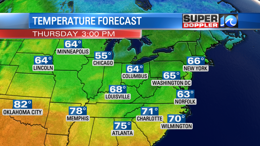
Tomorrow we’ll be much cooler and drier. Dew points will drop down to the 40s.

We’ll have a lot of sunshine, but there will be a steady wind out of the north. So high temps will only be in the mid 60s.
We’ll stay cool on Friday, but there will be a weak area of low pressure forming just offshore. So we’ll have mostly cloudy skies with scattered rain showers.
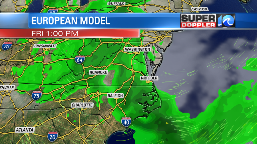
High temps will be in the mid 60s again. We’ll be cool and dry on Saturday with highs in the upper 60s. Then we’ll be dry and mild on Sunday with highs in the 70s. That should be nice for mothers on Mother’s Day.
Meteorologist: Jeremy Wheeler


