This morning we started off with not only some fog, but some freezing fog.
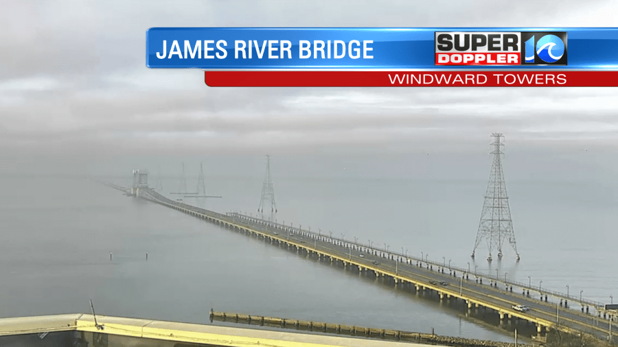
Temps were in the 20s and 30s, but there was some moisture in the air as well.

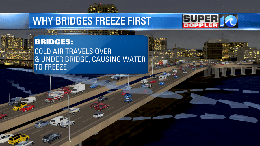
I had some frost on my vehicle early. There may have been some icy spots forming on the bridges and overpasses. They tend to freeze first as cold air can go both over and under those features.
The good news is that after the fog burns off, then we’ll have some nice weather for Groundhog day. High pressure is overhead.
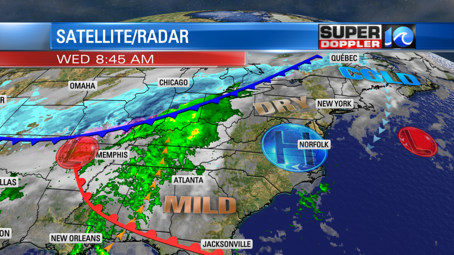
We’ll be partly cloudy with highs temps in the upper 40s to low 50s. You will notice, however, that there is a huge wintry mess up in the Midwest along a strong cold front. Not only are they looking at lots of snow between there and the Great Lakes, but there will also be a band of icing. This will impact a large region, and it could impact our area via connecting flights and shipments of goods. That system will turn into rain by the time it gets here in a couple of days.
So Punxsutawney Phil did see his shadow. That means 6 more weeks of Winter. Right? Later today I’ll be at the Virginia Living Museum to see what Chesapeake Chuck has to say about our region. We’ll have the update on WAVY News 10 at midday. It’s all good fun.
I can tell you though that we will have a lot of warming in the short-term. Tomorrow the wind will be out of the southwest at 10-15mph. We’ll have partly to mostly cloudy skies. There will be some isolated showers, but the bulk of the rain will stay to our west.
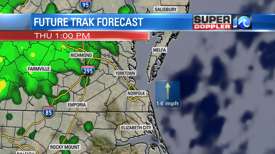
The powerful cold front will drop-in by Friday. We’ll start the day with warm temps and increasing rain showers. We’ll probably top off in the low 60s in the late morning. However, temps will steadily drop through the day. Rain will become widespread. It could be moderate to heavy for a brief time.
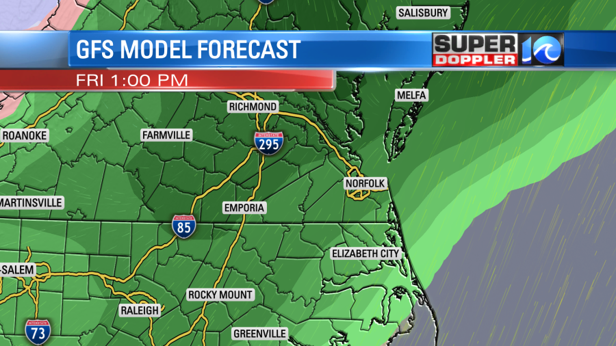
Winds will pick up out of the north. Rain showers will continue into Friday night, but the precip should wrap up by early Saturday morning. We’ll probably get a quarter to three-quarters of an inch of rain. It could end as a brief wintry mix, but this should all melt unlike the last couple of weekends. We’ll dry out on Saturday with some clearing, but north winds will keep the temperatures in the 30s through the day. We’ll have building clouds again on Sunday. There will be some rain showers redeveloping on Sunday, but the chances are still going back-and-forth on that. If it starts up early, then there could be a brief wintry mix in the morning, but the models are also split on that. Check back for updates if you have outdoor weekend plans.
Meteorologist: Jeremy Wheeler


