A cool but sunny Saturday is expected across the area. Highs should climb this afternoon into the mid 50s.
Our next weather system is currently located near the Texas coast. This area of low pressure and associated fronts will lift NE as we go through the overnight and help produce showers on Sunday.

Tonight, clouds will increase. We should stay dry through the overnight hours. By daybreak Sunday, we’ll be cloudy with a few showers – mainly to our west. Rain chances increase through the morning. A few areas of heavy rain will be possible. Overall, I expect rainfall totals to be a little lighter than Friday morning, with about 0.25″ to 0.5″ of rain across the region. Rain moves out Sunday afternoon/evening.
Breezy conditions are expected on Sunday – with some gusts of up to 35 mph. If you have outside Christmas decorations you may want to make sure they’re securely tied down.
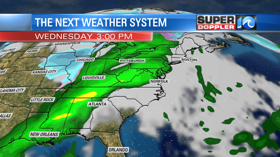
Drier weather returns on Monday. We stay dry Tuesday before our next rain chance moves in on Wednesday.
Hope you have a great weekend!
Meteorologist Ricky Matthews
Follow Ricky on Facebook and Twitter