This morning some folks got to see the lunar eclipse through the breaking clouds. Our Photographer LaVoy Harrell captured it on video for a brief time:

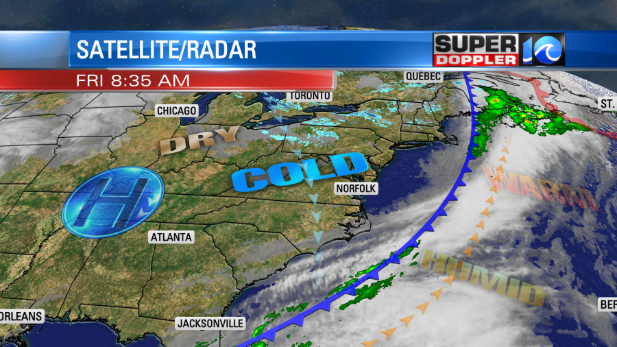
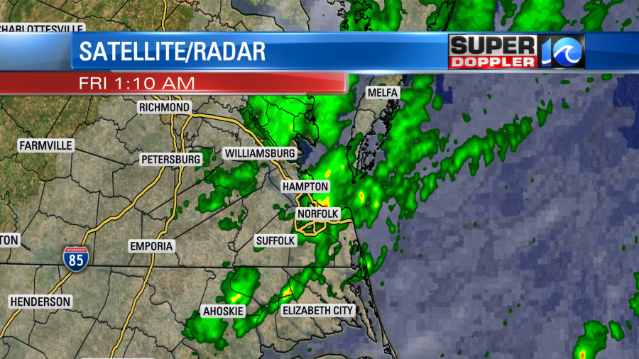
Last night before the eclipse there were some scattered rain showers as a cold front moved into the region. It didn’t add up to much, but at least we got something.
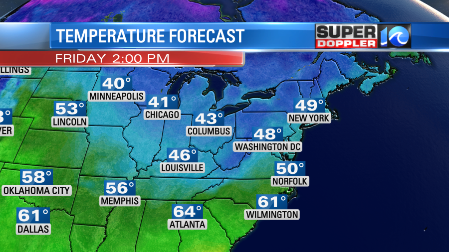
The cold front has now dropped to our southeast. High pressure is building in from the west. Skies cleared through the morning, but the cold air poured in. Yesterday, high temperatures made it into the mid-upper 70s. By this morning temps had crashed down to the upper 30s to low 40s. We’ll stay chilly through the day despite a good amount of sunshine. High temps will only rise to the low 50s.
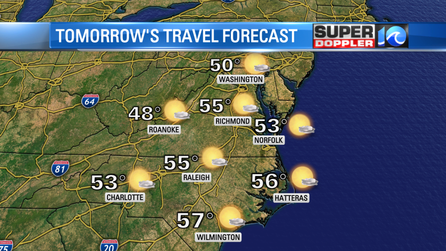
The wind will stay up out of the north. It will run at 10-15mph with gusts to 25mph. Tonight will be mostly clear and cold. Low temperatures will drop down to the 30s over most of the region with some 40s near the shore. We’ll have a lot of sunshine tomorrow. The weather should be good for travel in the region.
High temps will be mainly in the 50s. There will be much less wind with lots of sunshine. Then we’ll warm up on Sunday, but clouds and moisture will also increase. High temps will rise to the low-mid 60s. There may even be a stray shower by the end of the day. However, rain is more likely Sunday night into Monday.
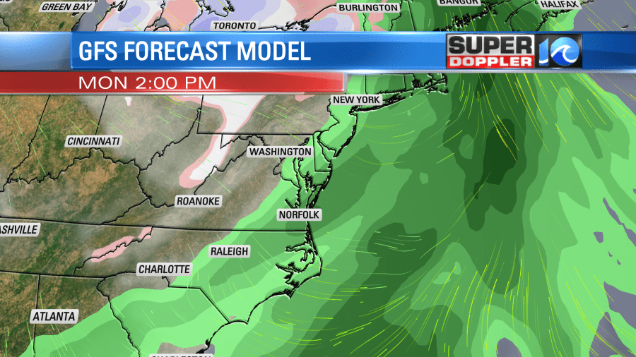
This will be ahead of the next cold front. This front will swipe through the region, and then some of the coldest air of the season will drop in by Tuesday. Low temps will probably be in the lower 30s with high temps only in the upper 40s. As of this time the Thanksgiving forecast looks good. For now I’ll say that it looks cool and dry, but we’ll have more updates as we go through the next few days.
Meteorologist; Jeremy Wheeler
