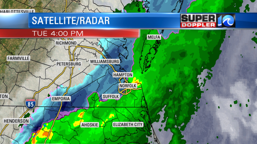
Last night we did have a wintry mix of rain, sleet, and snow in the region.

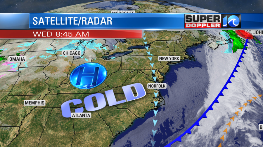
The snow came down heavy enough in a few locations to stick to the grass, but the majority of the precip melted. I’d say the forecast went pretty well. This came in along with a powerful cold front that dropped the temperatures from the upper 50s in the morning to the upper 30s by the early evening. Now the front is well to our southeast.

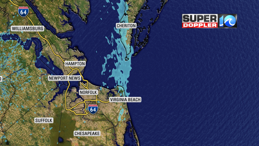
High pressure is building in from the west. This is producing strong northerly winds. They are running at 10-20mph with gusts to 25mph this morning. They will be 5-15mph with a few higher gusts near the shore this afternoon. The bulk of the area will be dry and mostly sunny. However, there were some flurries from the lower Eastern Shore down to Virginia Beach.

So far these have just been some light flurries. It might pick up briefly to a light snow shower, but either way it should dry up by the early afternoon. High temps will only rise to the upper 30s to low 40s this afternoon.
Tomorrow we’ll have some quiet weather. High pressure will be overhead. We’ll start off cold in the morning with lows in the 20s and 30s, but there will be hardly any wind. Then through the day we’ll warm up to the mid 50s. Skies will be partly cloudy with light winds.
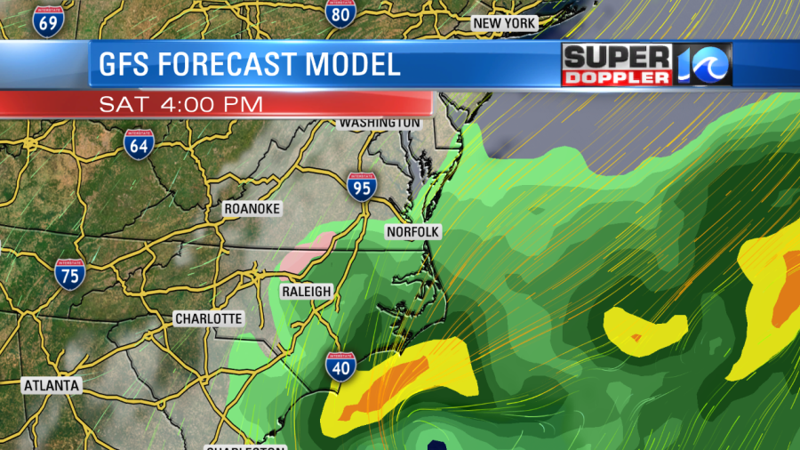
By Friday we’ll start dealing with the next system. An area of low pressure will form offshore (south of the Carolinas). It will push enough moisture towards us that we’ll have lots of clouds and some rain showers. I think the main cause for precip will actually be overrunning. The low will move to the northeast (offshore) into Saturday. We’ll have scattered rain showers with the northeast winds increasing.

Temps will be in the upper 40s to low 50s. The low will probably move more to the northeast on Sunday. However, another low may form south of the first. So that will bring us more rain and wind on Sunday. They look to move out by Monday, but we’ll see. The wet and windy conditions over the weekend could lead to some tidal flooding. At least minor levels. I will have more details on that starting tomorrow.
Stay tuned for updates.
Meteorologist: Jeremy Wheeler


