Today’s weather will feel like we are on a different world compared to the weather we’ve had for the last 3-4 weeks. It will be cool, cloudy, breezy, and there are some rain showers in the region. Those are the little water drops that fall out of the sky in case you forgot what they were. We did have a couple pockets of moderate showers early this morning as some moisture pushed up into a cool front.
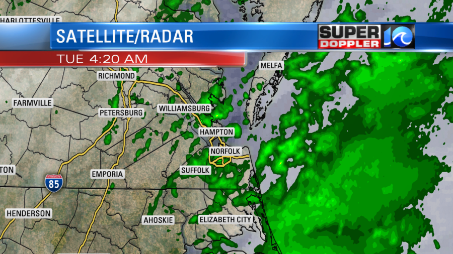
We picked up a couple tenths of an inch with higher amounts across the Outer Banks. Today we’ll have some more rain showers as a couple of features work together. An area of low pressure is forming offshore. It will move north today, but it will stay out to sea. Meanwhile a cold front has moved into the region, and it is pushing into a very humid air mass.
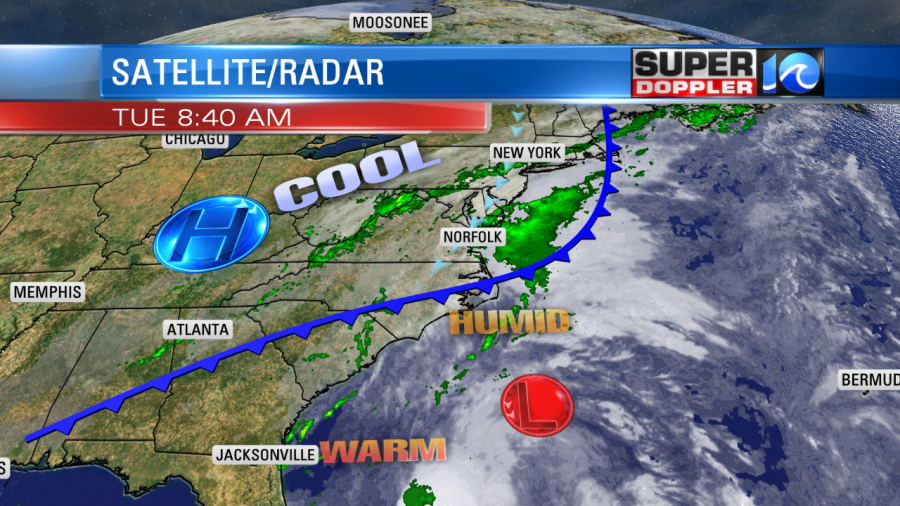
The front will slowly push offshore through the day. Then it will wrap around the offshore low. Locally, we’ll have scattered rain showers on-and-off through the day.
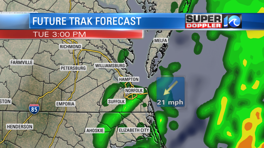
It should be too stable for thunderstorms. We’ll have a cool northeast breeze throughout the day. The gusts will be up to 25mph with some gusts to 30mph near the shore. Between the wind, the showers, and the clouds, our high temperatures will only top off in the low 70s.
We’ll have a few more showers tonight. Then tomorrow we’ll have some more scattered rain showers. The chances is 30%, but it will be a little higher near the shore.
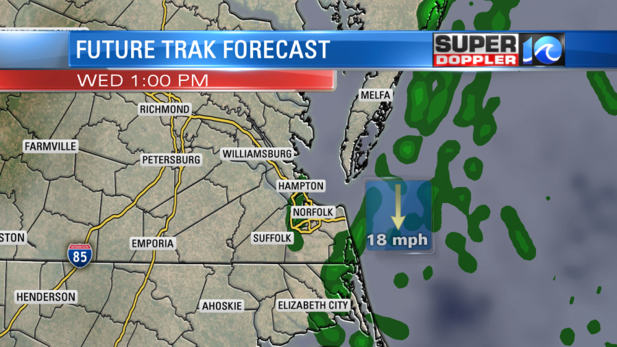
It will be even cooler tomorrow with highs in the upper 60s. The north/northeast breeze will continue. In fact…the low will sit offshore for a few days. This will keep the north/northeast breeze going through the end of the week.
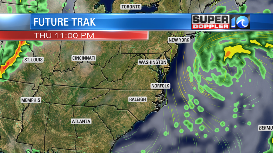
We’ll have less rain though as the low pushes farther to the north. It will become a nor’easter for the northeast states, but I’d call it more of an offshore low as far as we are concerned. We won’t have much rain with it. Plus, the effects will be minimal. We’ll see a couple more tenths of an inch of rain over the next 36 hours. One minor problem that we will probably develop is some minor tidal flooding. The total water levels will increase a little each day through Friday.

By Friday we may have a level of over 5 feet. This will depend on how long the winds stay up. So stay tuned for updates in case the low changes track.
There is another area of low pressure over the central Atlantic. It has a medium chance for gaining some subtropical characteristics over the next couple of days. However, it will likely stay out to sea. It will be strong enough that we’ll continue to have some higher waves along our shores. We’ll track it. Until then…enjoy the rain and cooler temperatures.
Meteorologist: Jeremy Wheeler


