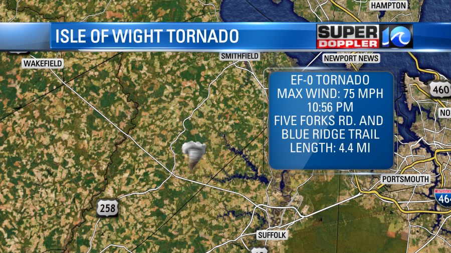
To start off… I want to recap a couple of things from Tuesday night’s storms. We knew that the cold front produced heavy rain and gusty winds over the region. However, yesterday the National Weather Service in Wakefield put out 2 official reports of tornadoes that happened that night. The first was in Isle Of Wight County. It was an EF-0 with max winds of 75mph. It did cause some tree damage, and also some damage to a car port.
The other tornado occurred over Southampton county. It was over a small area, but there was some tree and building damage. One tree even fell on a home.
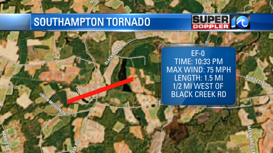
That was also an EF-0. Max winds were 75mph. Again, that was all from a cold front that moved through Tuesday night. Now that front is far offshore. So high pressure is in the region today. There is another cold front to our west.
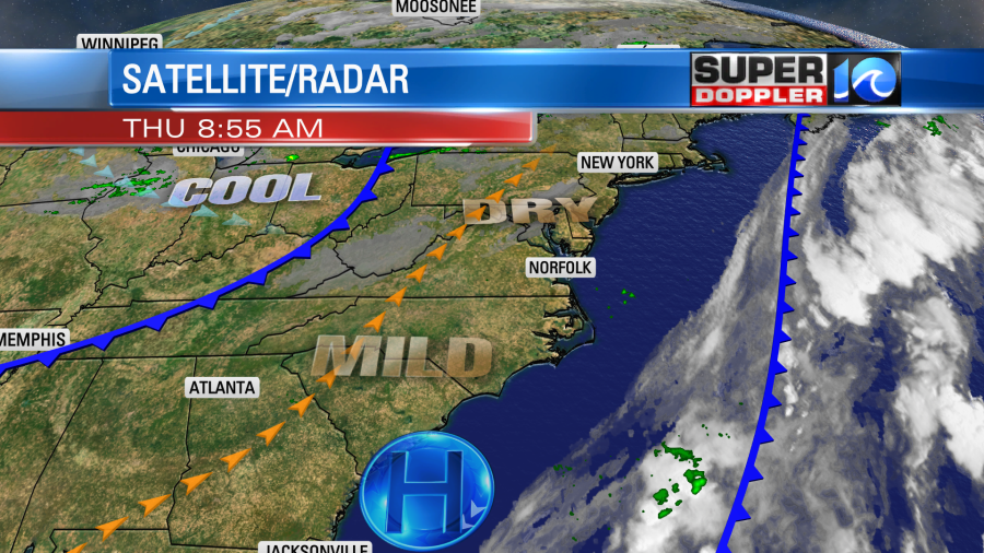
We’ll have a warm southwest breeze today with lots of sunshine. High temps will rise to the upper 70s to near 80 degrees. That’s a bit warm for early October, but it will still be dry with dew points in the 50s. So it should be pretty comfortable outside.
The second cold front will move through late tonight into tomorrow morning. We’ll have increasing clouds tonight ahead of the front. This shouldn’t be enough to impact the rocket launch at Wallops Island.

The front will cause some isolated showers late tonight into tomorrow morning. Winds will pick up out of the north in the morning. They could gust up to 25mph for a time. Then as we go through the afternoon the dry air will take over. We’ll have clearing skies. However, the high temps tomorrow will only be in the mid-upper 60s. High temps will be in the upper 60s over the weekend with lows in the 40s and 50s. It should be pretty dry, but there may be enough moisture for some spotty showers on Sunday.
The tropics aren’t as quiet as a couple of days ago. There are two tropical disturbances that we are tracking.
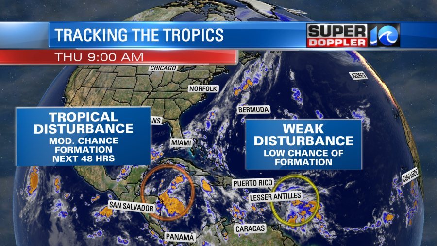
The one east the Lesser Antilles has a low chance of formation over the next few days. It is moving west. However, the one in the western Caribbean has a decent chance of forming into a system in the next couple of days. It could become the next tropical depression. It could possibly become tropical storm Gamma over the weekend. It is moving west/northwest. It will likely impact part of Central America and the Yucatan Peninsula. Stay tuned for updates beyond that.
Meteorologist: Jeremy Wheeler


