Last night we had the cold front move through the region. As expected it brought a sharp line of heavy rain and thunderstorms.
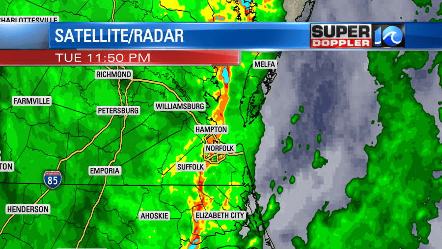
By early this morning most of the rain had moved out. Then skies began to clear by 7-9am. We picked up about a half inch up to an inch and a half of rainfall over the region.
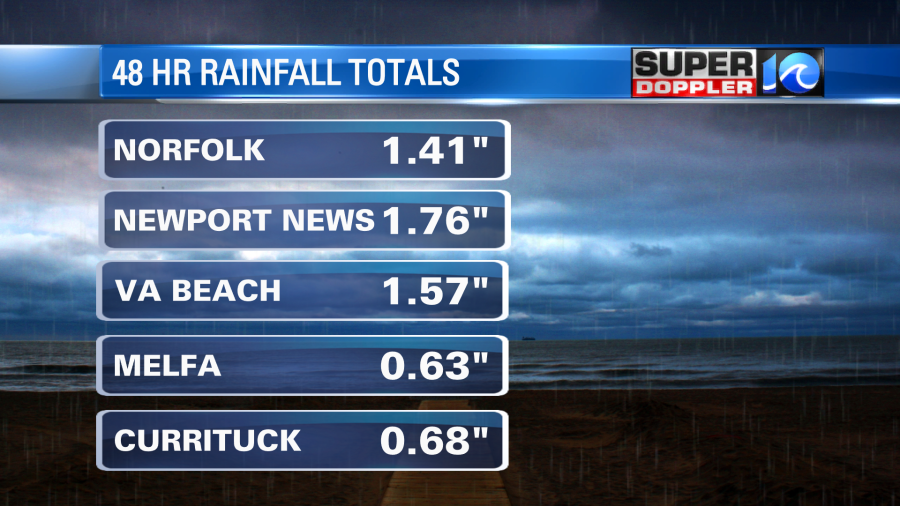
My weather watcher Barry in Gloucester and Jan in Reedville both had over 3″. The front is now offshore, and high pressure will build in from the west.
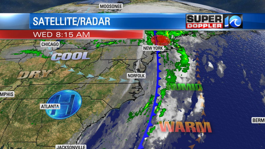
We’ll have clearing and drying happening today. It will be very comfortable outside as dew points drop to the low 50s. We’ll have a lot of sunshine this afternoon. High temps will be in the mid 70s with a west breeze. Should be awesome out!
Tomorrow we’ll warm up a bit as the light wind turns out of the southwest. High temps will be in the upper 70s to near 80. We’ll have a lot of sunshine. A second cold front will move through on Friday. We’ll have a mix of sun and clouds with some isolated showers possible. Then behind that front we’ll cool down even more. High temps will be in the upper 60s Friday, Saturday, and Sunday. Low temps will be in the 50s with some 40s inland.
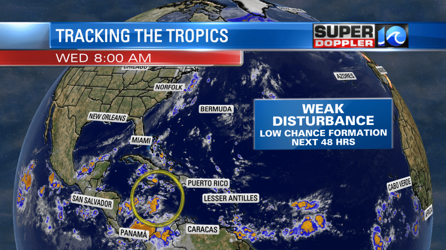
There is a weak disturbance in the central Caribbean that has a medium chance of formation over the next few days. It is moving generally to the west.
This is good weather for growing cool weather grasses like fescues. However, it’s starting to cool down too much for warm weather grasses like St. Augustine. It should be a little while before we get any frost, but the mornings are definitely cooler.
Meteorologist: Jeremy Wheeler


