Down around the center of the coastal storm there has been some major rainfall. Some areas around southwest North Carolina picked up more than a foot of rain.
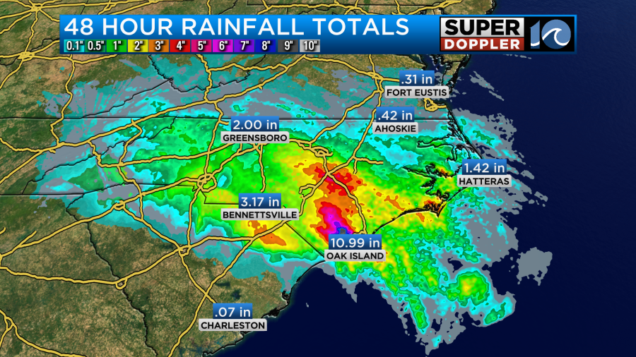
The weak area of low pressure has been slowly drifting to the northwest. The center is now over towards western North Carolina. It is attached to a stationary front that is becoming a warm front.

That front and deeper moisture are moving into our area today. This will focus a band of showers and storms over the region. So far we have already had a big swath of light rain move in with a few downpours mixing in.
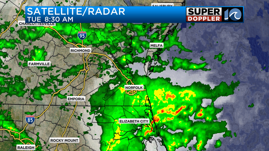
We will continue to get several bands of rain through the day. Heavy downpours and a few thunderstorms will be possible.
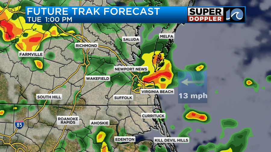
The showers should break up a bit by the late afternoon. Then the showers should decrease as we go into the evening.
The rainfall forecast is tricky. The models have literally been flip-flopping like crazy over the last 2-3 days. Officially, we do have a Flood Watch in effect through tonight.
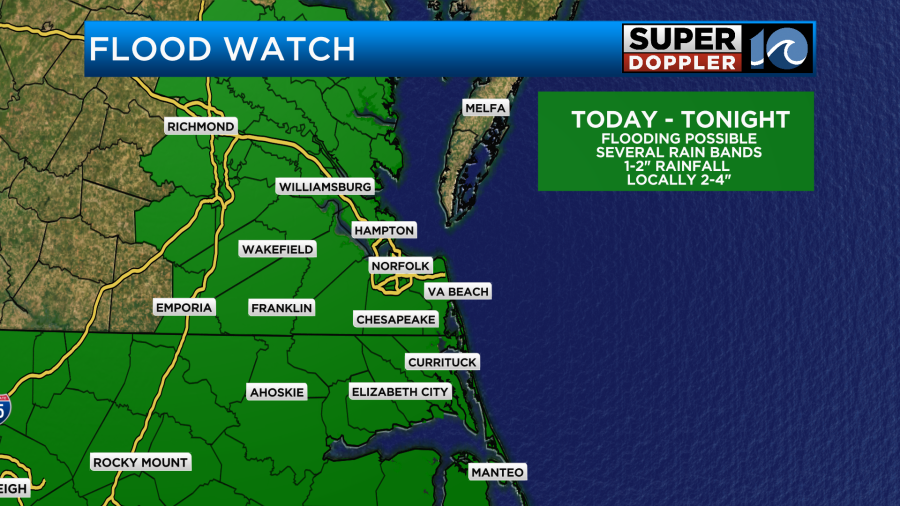
However, the models have backed off of the rain totals. Today they are calling more for about a half inch to an inch and a half of rainfall.
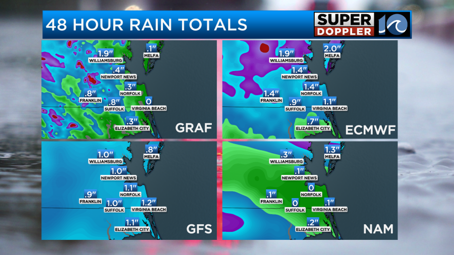
If you remember yesterday, they had increased to about 3-4″ solid. I think some dry air wrapped in on the south side of the low, and I don’t believe the models handled that well. Especially, since a feeder band of very high moisture had already been adjacent to that drier air mass. So looking at all the models and forecasts…. I am calling for a half inch up to 2 inches of rainfall with isolated spots of 3″.
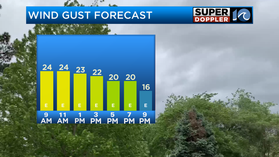
Winds will be breezy, but they won’t be too bad. We’ll have some gusts to 25mph with a few gusts to 30mph near the shore.
Temps will be in the upper 70s this afternoon.
We will have some minor tidal flooding over the area, but it should be low-end minor.
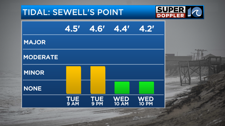
The problem is that the high tide this morning will create poor drainage as the heavy rain moves through. So scattered street flooding will be possible on top of the tidal flooding in the usual areas.
So far the waves have been pretty high along the Outer Banks.
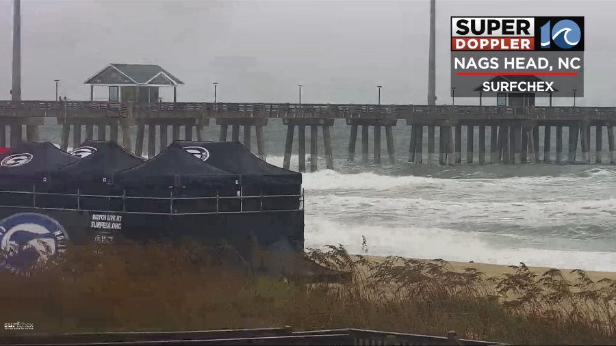
Waves will be running about 7-8 feet today with a few 10 footers possible. So there may be some more ocean overwash over parts of highway 12.
Tomorrow the low will pass more to the north. The front will move north a bit. Then an area of low pressure will form along the front (offshore). That will actually swing the front back to the south. This may let a few showers and storms drop in from the north.
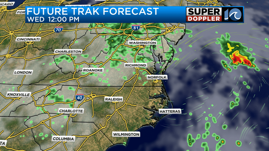
We will have more sunshine and less wind. So high temps will probably pop up to the low 80s.
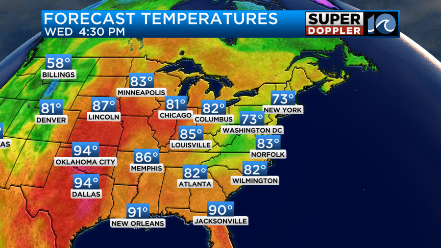
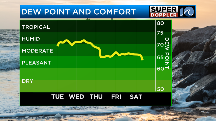
After Wednesday I think we’ll have some decent weather return. We’ll have a mix of sun and clouds Thursday through at least Saturday. I have some isolated showers possible, but only a 20%. The humidity should drop through that time.
The nice weather may continue into Sunday. Stay tuned for updates.
Meteorologist: Jeremy Wheeler


