Hurricane Ernesto became a category 2 storm last night. A bit of dry air was able to wrap into the system again. So the strengthening had paused for a bit.
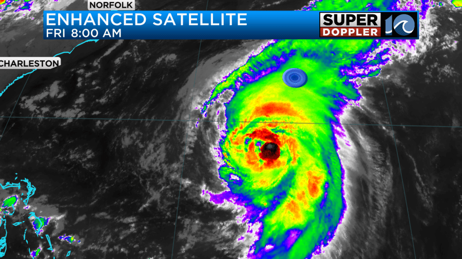
The system is very large which means that the overall (ACE) energy is also becoming large. Ernesto is forecast to move almost directly towards Bermuda over the next 24 hours. This will put it near the island by early tomorrow morning.
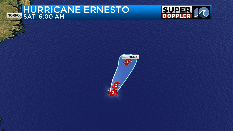
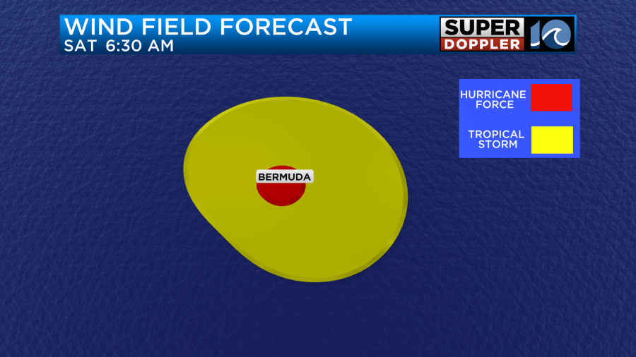
The hurricane-forced winds will move directly over the island, but they will feel tropical storm winds for a long time due to the size of the storm.
It is predicted to be a category 2 at its closest approach. There will be a lot of heavy rain around the system as well.
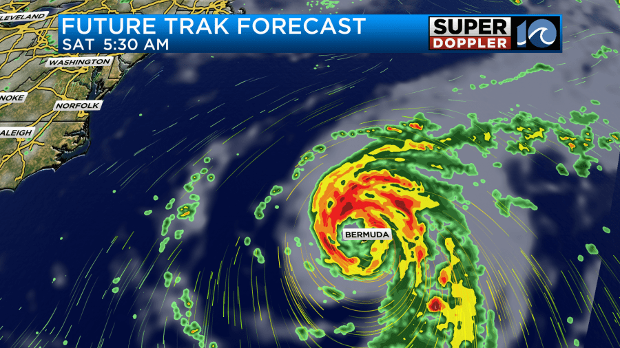
They could get about 6-12 inches of rain with up to 15″ possible. This could lead to flooding by itself, but they will also have a significant amount of storm surge as well. At least a few feet. Waves will be much higher. They could run up to 10-15 ft. After Bermuda the system will move north, then northeast. It will gradually weaken over the north Atlantic.
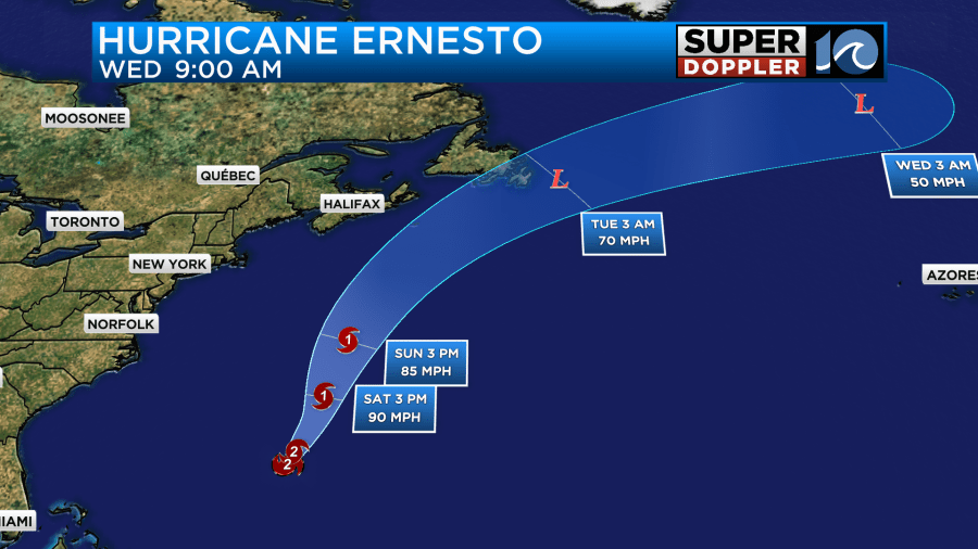
It may brush up against Newfoundland for a time.
While the biggest waves will be out near the center of the storm, we will still have some wave action here. Today we already have a moderate risk for rip currents in Virginia Beach with a high risk over the Outer Banks.
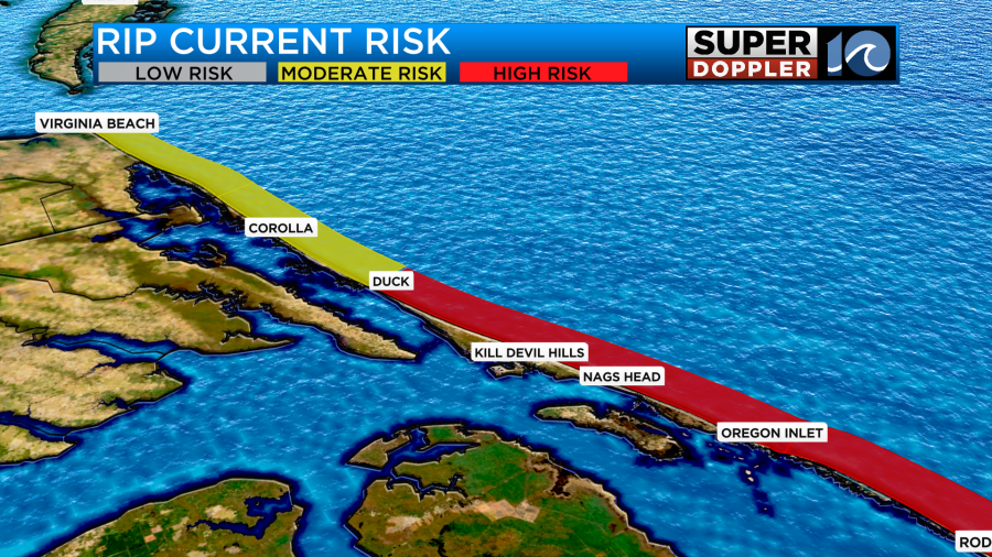
The waves will be about 2-3 feet in Virginia Beach and about 3-4 feet (maybe 5) along the Outer Banks. Tomorrow the waves will run about 2-4 feet in Virginia Beach with 5-7 foot waves along the Outer Banks.

This is going to be good for experienced surfers but bad for swimmers. Conditions will probably be similar on Sunday. The rip current risk will be high over the weekend for all the beaches.
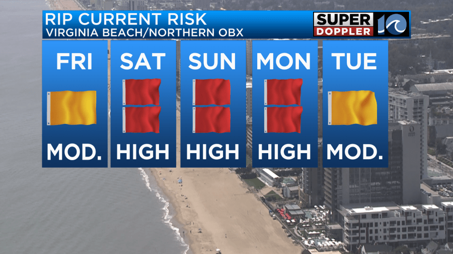
Please keep that in mind if you are planning a trip to the beach. Check in with the lifeguards before you even attempt to get in the water. Stay tuned for updates.
Meanwhile, we will still have some nice weather in the region today. High pressure is to our northeast. We have a warm front to the northwest with a cold front farther to the northwest.
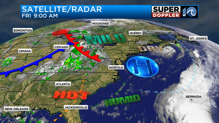
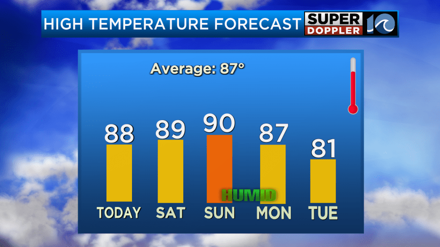
We’ll be mostly to partly sunny today. High temps will run up into the upper 80s this afternoon.
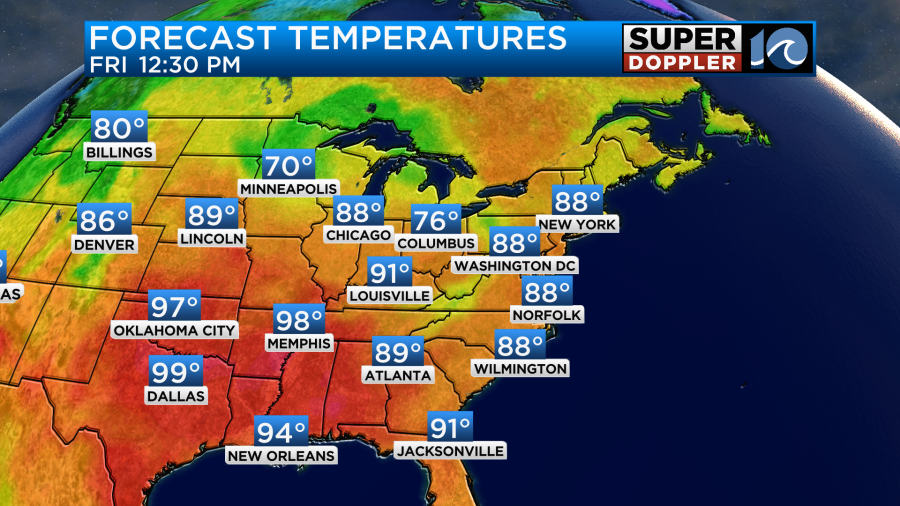
The humidity is still pretty decent. It will be more solidly into the moderate category compared to yesterday. Winds will be light and out of the southeast.
Tomorrow we’ll have a mix of sun and clouds. There will be a few spotty showers, but there shouldn’t be too many. High temps will be in the upper 80s to near 90.
We’ll have more moisture and more clouds on Sunday. There will be some scattered storms developing. Some of them may put down some heavy downpours.
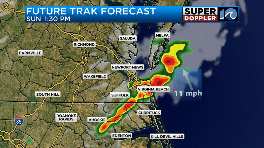
This is ahead of a cold front. So we’ll heat up to near 90. It will feel like the low-mid 90s with the heat index.
The front will stall out over the region on Monday. We’ll have some more scattered showers and storms with highs in the upper 80s. Then the front will sink to our south by Tuesday. We should cool down and dry out again into Wednesday. It should be pretty nice out once again.
One last thing before I go. I caught wind (pun intended) of a phenomenon that I’ve never heard of but it makes sense. NOAA recently put out an article about an Atlantic Nina pattern. It is similar to La Nina in the Pacific but on a smaller scale. This could have some impact on the 2024 hurricane season, but the mass of somewhat cooler water is closer to the equator and a bit south of the typical tropical formation zone. So we’ll see.
Meteorologist: Jeremy Wheeler


