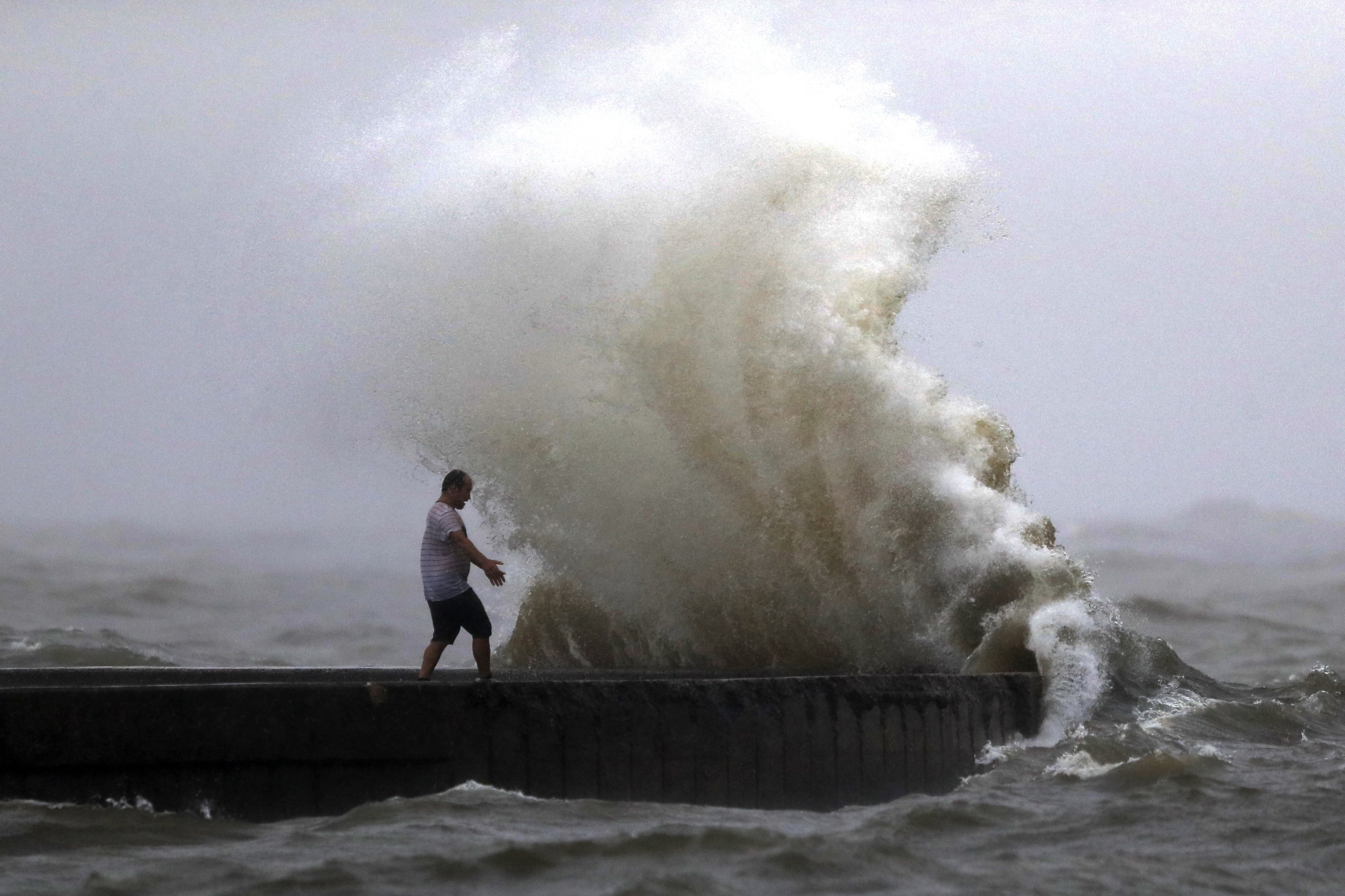
TAMPA, Fla. (WFLA) — Hurricane Debby has been downgraded to a tropical storm after making landfall at Steinhatchee, located in the Big Bend region of Florida, the National Hurricane Center said.
The storm’s maximum sustained winds are 45 mph, as of the National Hurricane Center’s 8 p.m. Monday update. It is expected to weaken over the next two days.
The storm has slowed down and is turning to the northeast, moving at 6 mph. Some parts of the southeast could pick up over 2 feet of rain and rain and wind will subside overnight and into Tuesday here in the Bay Area.

A major flood threat continues across the Gulf coast of Florida. The area from Yankeetown to the Ochlockonee River is expected to receive up to 10 feet of storm surge. The Tampa Bay area will see 3 to 5 feet, if the surge occurs during high tide.
Debby is expected to move slowly across north Florida and south Georgia late Monday and Tuesday. It will be near the Georgia coast by Tuesday night. After that, there is uncertainty about the storm’s exact path.
Rainfall totals of 6 to 12 inches, with maximum amounts of 18 inches, is forecast across parts of central and northern Florida and southeastern North Carolina through Friday morning.
Watches and Warnings issued:
A Storm Surge Warning is in effect for:
- Florida coast from Aripeka to the Aucilla River
- Georgia and South Carolina coast from the Mouth of the St. Mary’s River to South Santee River South Carolina
A Tropical Storm Warning is in effect for:
- Florida coast from Indian Pass to Aripeka
- St. Augustine, Florida to South Santee River South Carolina

