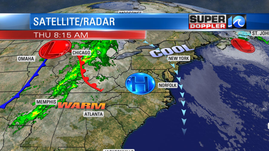
We should have a pretty nice day today. High pressure has built into the region. So we’ll have a lot of sunshine with a light north wind.

It was a cold start to the day, but the strong sunshine should warm us up to the mid-upper 50s. It should feel a little warmer since the winds have slackened since yesterday. A few clouds will move in later today.
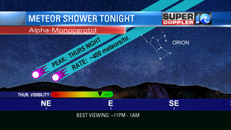
Tonight we’ll have partly cloudy skies. That’s important because the rare meteor shower is tonight. The Alpha Monocerotid meteor shower will be happening.

It POTENTIALLY could be a good show, but it will be late. Likely peaking between 11pm and 1am. You may want to go out before then to check. I will try to check it out before I got to bed, but I will likely miss the peak.
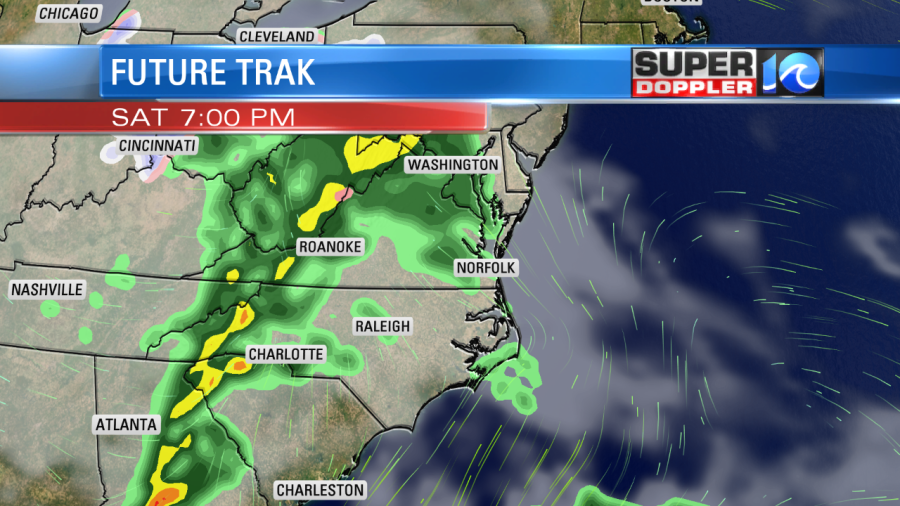
Tomorrow we’ll warm up. We’ll have a southwest wind with increasing clouds. High temps will rise to the mid 60s. However, we’ll also increase the moisture. So there will be some scattered rain showers during the afternoon and evening. Our Future Trak model brings in a few showers by midday, but most of the other models bring them in more towards the afternoon. Either way the front will move through during the evening. The winds will turn out of the north. This will cool us down on Saturday. Highs will be in the 50s. We’ll start out dry, but the moisture and clouds will increase again through the day. We’ll have a few showers by the afternoon with scattered showers during the evening.

The models agree on the trend for Saturday with an increasing chance for rain between the afternoon into Saturday night. However, they disagree on how soon the bigger area of rain moves in. For now I’ll say that it looks like we’ll have some scattered rain showers during the Grand Illumination in Norfolk, but we’ll have to wait until tomorrow to determine the coverage. Either way rain will become widespread Saturday night into Sunday morning as an area of low pressure moves in from the west. It will kick out by Sunday afternoon. Then we’ll dry out. High temps will be in the 50s, but we may have some 60s mixing in.
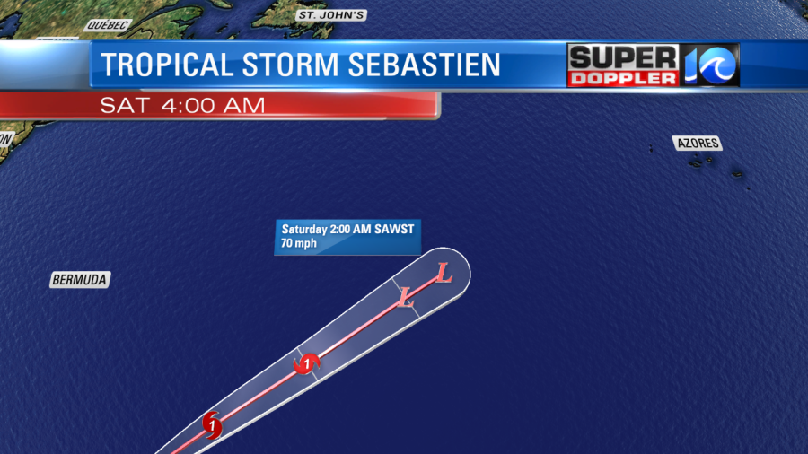
In the tropics…Tropical storm Sebastien is not only still going….it’s strengthening. In fact, the latest forecast now calls for it to briefly become a hurricane before it finally wraps up into a cold front.

Whatever strength it has, it will stay out to sea, and it will not impact the U.S.
Meteorologist: Jeremy Wheeler


